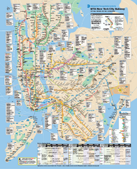
New York City MTA Subway Map
Official subway map for New York City
less than 1 mile away

Upper West Side NYC Map 1879
Likely the first printed map of Manhattan's Upper West Side. Map is titled 'The West End...
less than 1 mile away
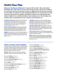
Floor Map of the Museum of Modern Art, New York
Official Floor Map of the MOMA in New York, NY. All floors and exhibits shown.
2 miles away
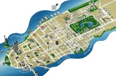
Manhattan Tourist Map
Simplified tourist map of Manhattan. Shows major NYC landmarks.
2 miles away
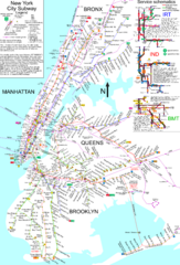
NYC Subway Map (unofficial)
Unofficial subway map of New York City. Created by SPUI.
2 miles away
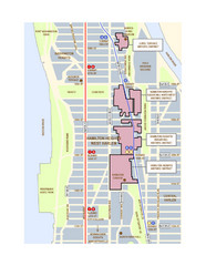
Hamilton Heights West Harlem Map
Hamilton Heights - West Harlem, New York City community map
3 miles away
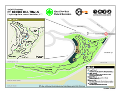
Highbridge Park mountain bike trail map
Mountain biking trail network opened in May 2007. Only mountain biking trails in Manhattan. 25...
6 miles away
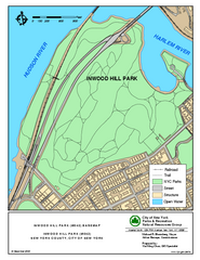
Inwood Hill Park Trail Map
Trail map of Inwood Hill Park located at the extreme northern tip of Manhattan. 136 acres.
7 miles away
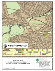
Forest Park Preserve Map
Map of Forest Park Preserve, Queens County, City of New York. 538 acres of trees and fields
8 miles away
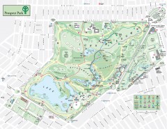
Prospect Park Map
Overview map of Prospect Park, a 585-acre city park located in the heart of Brooklyn. Designed by...
8 miles away
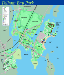
Pelham Bay Park NYC Map
Official detailed map of Pelham bay park, the largest park in New York City at 2,700 acres. Map...
10 miles away


 Explore Maps
 Map Directory
