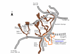
Goblin Valley State Park Map
The vast landscape of sandstone goblins may have visitors wondering if they're in Mars or Utah...
319 miles away
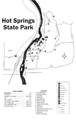
Hot Springs State Park Map
Enjoy our soothing waters, views of the unforgettable bison and some of the loveliest flower...
320 miles away

Mirror Lake Highway Map
320 miles away
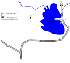
Huntington Lake State Park Map
Take a hike around this beautiful lake.
320 miles away
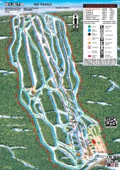
Sandia Peak Ski Trail Map
Official ski trail map of Sandia Peak ski area from the 2007-2008 season.
322 miles away
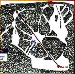
Mystic Miner Ski Resort at Deer Mountain West...
Trail map from Mystic Miner Ski Resort at Deer Mountain.
323 miles away
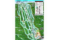
Sandia Peak Ski Area Ski Trail Map
Trail map from Sandia Peak Ski Area.
324 miles away
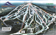
Terry Peak Ski Area Ski Trail Map
Trail map from Terry Peak Ski Area.
325 miles away
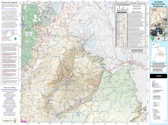
San Rafael, Utah Trail Map
Trails and main roads near Manti-LaSal National Forest and Castle Dale in Emery County, Utah
326 miles away
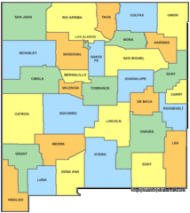
New Mexico Counties Map
328 miles away
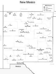
New Mexico Airports Map
328 miles away
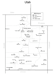
Utah Airports Map
328 miles away
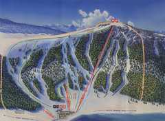
Big Horn Ski Resort Ski Trail Map
Trail map from Big Horn Ski Resort.
329 miles away
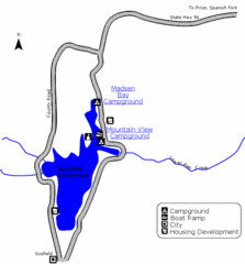
Scofield State Park Map
Camp, boat, and fish at this summer and winter recreation destination situated high in the Manti...
331 miles away
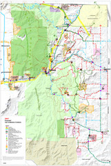
East Mountain Trail and Bikeways Master Plan Map
Trail Map for bikes and hikers.
331 miles away
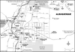
Albuquerque, New Mexico City Map
333 miles away
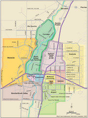
Albuquerque Map
Map of Albuquerque with detail of main streets and districts
334 miles away
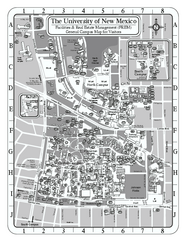
University of New Mexico - Main Campus Map
University of New Mexico - Main Campus Map. All area's shown.
334 miles away
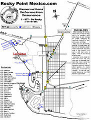
Rocky Point, New Mexico Tourist Map
334 miles away
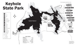
Keyhole State Park Map
Keyhole State Park is located on the western edge of the famed Black Hills, between Sundance and...
334 miles away
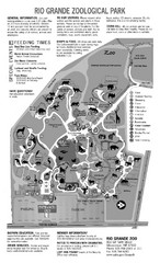
Rio Grande Zoological Park Map
334 miles away
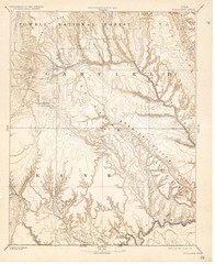
Topo Map of Escalante Quadrant, UT circa 1886
One of four USGS maps detailing the area around Capitol Reef National Park and Glen Canyon circa...
335 miles away
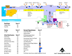
Albuquerque International Sunport Airport Map
Official Terminal Map of Albuquerque International Sunport Airport. Shows main floor ticketing...
335 miles away
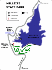
Millsite State Park Map
Camp in the quiet campground, and boat and fish on the blue waters of Millsite Reservoir. Play 18...
336 miles away
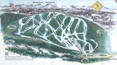
White Pine Ski Area Ski Trail Map
Trail map from White Pine Ski Area.
336 miles away

Timber Lakes Plat 4 Map
336 miles away

Timber Lakes Plat 1 Map
Timber Lakes Plat 1 Amended
336 miles away

Shaded Relief Timber Lakes Estates Map
336 miles away

Timber Lakes Plat 5 Map
336 miles away

Timber Lakes Plat 6 Map
336 miles away
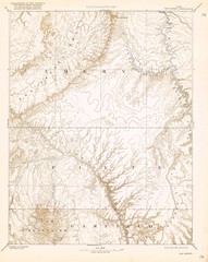
Topo Map of San Rafael Quadrant circa 1885
This is one of four USGS maps from the 1880's and 90's depicting the area around the...
336 miles away
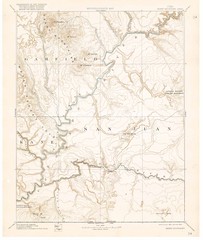
Henry Mtns Topo Map, circa 1892
One of a set of four maps circa 1890s by USGS depicting the area around the Henry Mtns and Capitol...
336 miles away

Timber Lakes Plat 7 Map
337 miles away

Timber Lakes Plat 11 Map
337 miles away

Timber Lakes Plat 9 Map
337 miles away
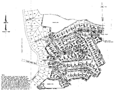
Timber Lakes Plat 8 Map
338 miles away

Timber Lakes Plat 8 Map
338 miles away

Timber Lakes Plat 3 Map
338 miles away
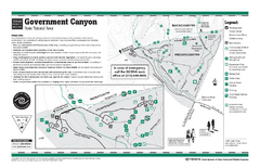
Government Canyon, Texas State Park Facility and...
338 miles away

Timber Lakes Plat 2 Map
338 miles away

