
Wolf Creek Ski Area Ski Trail Map
Trail map from Wolf Creek Ski Area, which provides downhill and nordic skiing. It has 7 lifts...
184 miles away
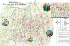
San Juan Mountains Trail Map
184 miles away

Wolf Creek Ski Trail Map
Official ski trail map of Wolf Creek ski area
184 miles away
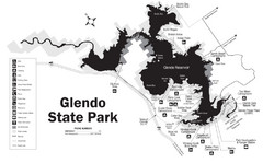
Glendo State Park Map
Glendo State Park is best known for its excellent boating opportunities, with plenty of areas for...
191 miles away
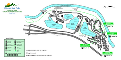
Island Acres State Park Map
Map of island acres section of the James M Robb Colorado River State Park
194 miles away
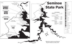
Seminoe State Park Map
Seminoe State Park offers excellent fishing, boating and wildlife-viewing opportunities.
194 miles away
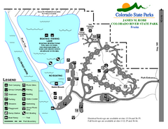
Fruita Area State Park Map
Map of fruita section of the James M Robb Colorado River State Park
196 miles away
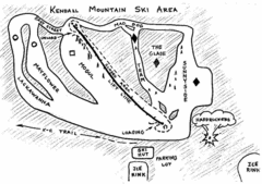
Kendall Mountain Ski Trail Map
Trail map from Kendall Mountain, which provides downhill and nordic skiing. It has 1 lift servicing...
196 miles away
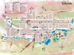
Telluride Town Map
197 miles away
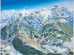
Telluride, Colorado Trail Map
197 miles away
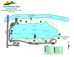
Corn Lake State Park Map
Map of corn lake section of the James M Robb Colorado River State Park
197 miles away
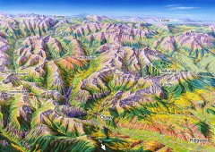
Ouray, Colorado area map
Regional artistic aerial view of the Ouray area and surrounding San Juan Mountains. Shows...
197 miles away
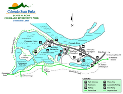
Connected Lakes State Park Map
Map of connected lakes section of the James M Robb Colorado River State Park
198 miles away
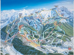
Telluride ski trail map
Official ski trail map of Telluride ski area from the 2006-2007 season.
198 miles away
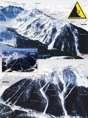
Silverton Ski Trail Map
Ski trail map of Silverton Mountain in Silverton, Colorado. Lift-serviced backcountry conditions...
198 miles away
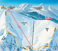
Telluride Revelation Bowl Ski Trail Map
Trail map from Telluride, which provides downhill, nordic, and terrain park skiing. It has 18 lifts...
198 miles away
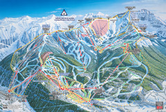
Telluride Ski Trail Map
Trail map from Telluride, which provides downhill, nordic, and terrain park skiing. It has 18 lifts...
198 miles away
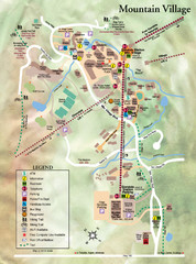
Mountain Village Tourist Map
Tourist map of Mountain Village, Colorado at the Telluride Ski Area.
199 miles away
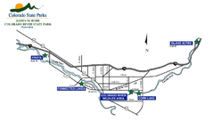
James M Robb Colorado River State Park Map
Overview map of park along lake
200 miles away
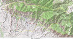
Fruita 18 Road Trail Map
Mountain biking trail map of the 18 Road area in Fruita, CO including Chutes & Ladders, Zipity...
200 miles away
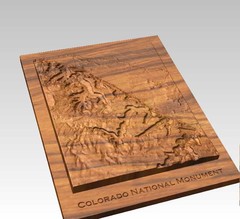
Colorado National Monument carved by CarvedMaps...
Colorado National Monument near Grand Junction, CO. was carved by CarvedMaps.com They can carve...
203 miles away
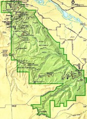
Colorado National Monument Map
204 miles away
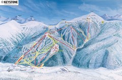
Keystone Ski Area Map
Ski trails, lifts and mountain elevations for Keystone and Bear Mountain, Colorado.
204 miles away
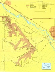
Colorado National Monument Map
Map of Colorado National Monument and surrounding areas.
204 miles away
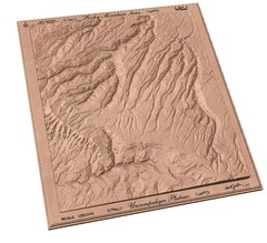
Uncompahgre Plateau by carvedmaps.com Map
Uncompahgre Plateau
204 miles away
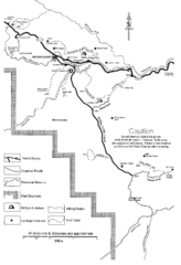
Capitol Reef Trail Map
Hiking trails near Fruita, Colorado
205 miles away
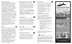
Highline Lake State Park Map
Map of park with detail of recreation areas
209 miles away
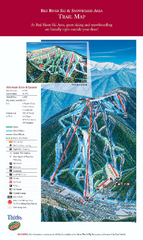
Red River Ski Area Ski Trail Map
Trail map from Red River Ski Area.
210 miles away
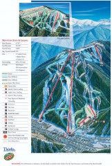
Red River Ski Trail Map
Official ski trail map of Red River ski area
210 miles away
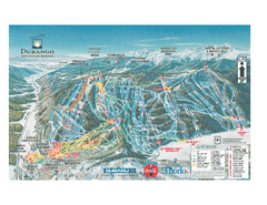
Durango Mountain Ski Trail Map
Official ski trail map of Durango Mountain Resort (formerly Purgatory) from 2003
212 miles away
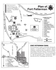
Fort Fetterman State Historic Site Map
Fort Fetterman, located approximately 11 miles northwest of Douglas. The fort was established as a...
212 miles away
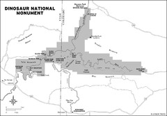
Dinosaur National Monument Map
216 miles away
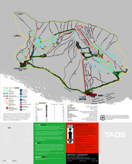
Taos Ski Valley Ski Trail Map
Trail map from Taos Ski Valley.
218 miles away
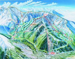
Taos Ski Valley Trail map
Official ski map of Taos Ski Valley. 12 lifts servicing 1,294 acres.
218 miles away
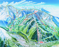
Taos Ski Area Ski Trail map 2006-07
Ski trail map of Taos ski area for the 2006-2007 season. A James Niehues creation.
218 miles away

Sangre de Cristo Mountain Trail Map
Ski trail map of one of the Sangre de Cristo mountains
221 miles away
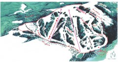
Hogadon Ski Area Trail Map
Ski trail map of Hogadon ski area, located on Casper Mountain
222 miles away
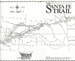
Santa Fe Trail Map
Historic map of the Santa Fe caravan trail
222 miles away
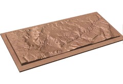
Gateway, Colorado carved by CarvedMaps.com Map
CarvedMaps.com carved this beautiful wood map of the Gateway area in SW Colorado. This company...
224 miles away
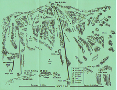
Hesperus Ski Area Ski Trail Map
Trail map from Hesperus Ski Area.
225 miles away

