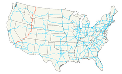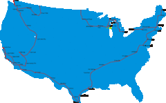
United States Select Cities Map
Approximately twenty cities in the United States.
533 miles away
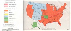
United States in 1870 Map
Map of the United States with territorities color coded and dated for statehood through 1920.
533 miles away
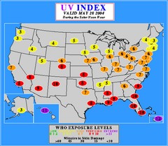
UV Index Map
UV forecast map for May 28, 2004 with exposure levels marked in color.
533 miles away
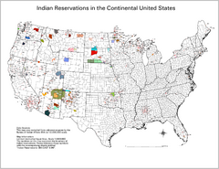
Indian Reservations in the Continental United...
Shows the location of Federal Indian Reservations in the continental United States
533 miles away
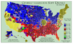
Pop vs Soda US Map
Shows most common names for soft drinks in the US by county. Based on 120,464 respondants.
533 miles away
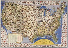
US Wildlife Map
Pictorial map of wildlife and game in the US.
533 miles away
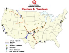
ConocoPhillips Pipelines & Terminals Map
Shows US pipelines & terminals for ConocoPhillips
533 miles away
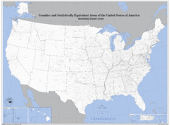
United States County Map
County map of the US
533 miles away
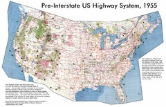
Pre-Interstate US Highway System Map
United States route and highway system pre-interstates, 1955
533 miles away
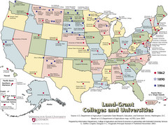
US College and University Land Grant Map
Shows land grants for US colleges and universities from 1862, 1890, and 1994
533 miles away
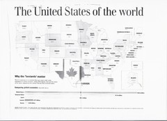
US GDP World Map
Labels each state in the US with the equivalent country in terms of GDP. Scanned.
533 miles away
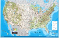
United States Map
Physical relief wall map of the United States.
533 miles away
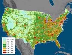
US Carbon Footprint Map
Shows the complete Vulcan Project CO2 emissions (all sectors - those presented in the first three...
533 miles away
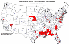
Ludacris' Hoes In Different Area Codes Map
Shows area codes in which rap star Ludacris claims to have hoes from his 2001 single "Area...
533 miles away
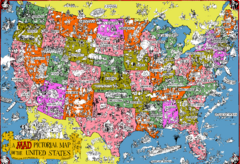
Mad Magazine USA Map
Detailed comedic drawings overlaid on a huge map of the US.
533 miles away
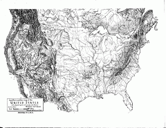
US Map - Landform Outline
Hand-drawn map of the US shows landforms (mountains and rivers) with amazing detail. Map created...
533 miles away

Theodore Roosevelt Lake Recreation Sites Map
Multiple camping, hiking, climbing and road sites.
534 miles away
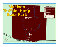
Madison Buffalo Jump State Park Map
You’ll find this day-use-only park seven graveled miles off Interstate 90 at the Logan exit...
534 miles away

Watertown City Parks Map
City parks map of Watertown, South Dakota. Shows 35 parks.
538 miles away
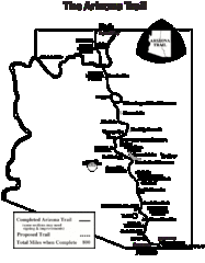
Arizona Trail Progress Map
Basic outline map of Arizona Trail. Other Maps available through BLM. There are links at the...
538 miles away
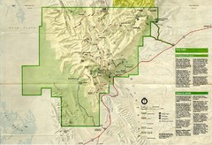
Guadalupe Mountains National Park Map
Map of Guadalupe Mountains National Park, year unknown. Scanned.
539 miles away
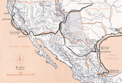
Mexican War Historical Map
539 miles away
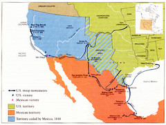
Mexican War Historical Map
539 miles away
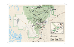
Guadalupe Mountains National Park Official Park...
Official NPS map of Guadalupe Mountains National Park in Texas. Guadalupe Mountains National Park...
541 miles away

Metropolis Nevada Ghost Town Map
541 miles away
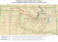
Oklahoma County Map
541 miles away
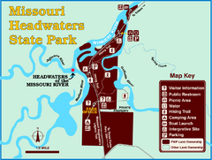
Missouri Headwaters State Park Map
This park encompasses the confluence of the Jefferson, Madison and Gallatin Rivers. The Lewis and...
542 miles away
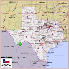
US Texas Roads Map
542 miles away
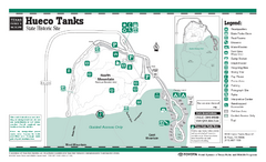
Hueco Tanks, Texas State Park Facility and Trail...
543 miles away
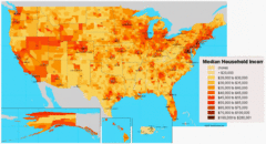
USA Income Map
States Income Inequality Map with color-coded key.
543 miles away
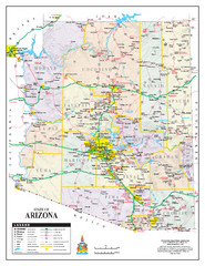
Arizona State Road Map
Arizona state road map
543 miles away
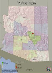
Cannabis Seized in Arizona Map 2005
Shows outdoor plants and sites seized in Arizona, by county, in 2005.
543 miles away
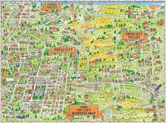
Prescott Prescott Valley and Chino Valley Tourist...
Tri-city tourist map of Prescott, Arizona, Prescott Valley, Arizona, and Chino Valley, Arizona...
544 miles away
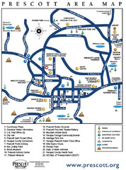
Prescott Area Map
545 miles away
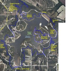
Psycho Psummer Run (Past Course) Map
545 miles away
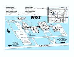
Tulsa Community College - West Campus Map
Tulsa Community College - West Campus Map. All buildings shown.
545 miles away
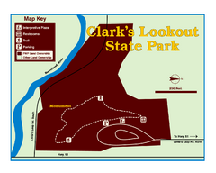
Clark's Lookatout State Park Map
Clearly marked State Park Map.
546 miles away
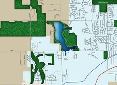
Southwest Olathe Map
Street map of southwest Olathe, Kansas. Shows green spaces.
546 miles away
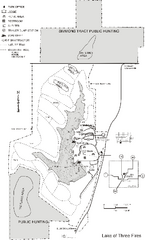
Lake of Three Fires State Park Map
Map of trails, hunting areas and lake access in Lake of Three Fires State Park.
547 miles away

