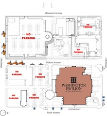
Washington Pavillion of Arts and Sciences Bus...
501 miles away
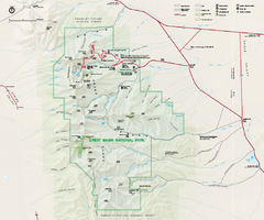
Great Basin National Park Map
Official NPS park map of Great Basin National Park. Shows all roads, trails, and facilities...
502 miles away
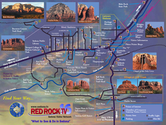
Sedona Tourist Map
Tourist map of Sedona, AZ. Shows points of interest and photos of local red rock formations and...
503 miles away
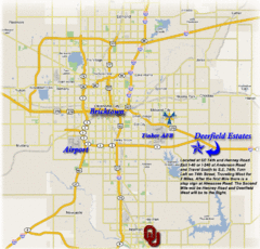
Oklahoma City, Oklahoma Tourist Map
503 miles away
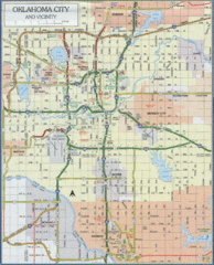
Oklahoma City, Oklahoma Tourist Map
503 miles away
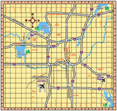
Oklahoma City, Oklahoma Tourist Map
503 miles away
Oklahoma City, Oklahoma Tourist Map
503 miles away
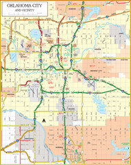
Oklahoma City, Oklahoma Tourist Map
503 miles away
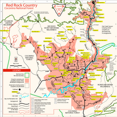
Red Rock County Trail Map
Trail map of trails of Red Rock County, AZ around Sedona, AZ. Shows trailheads and trail names.
503 miles away
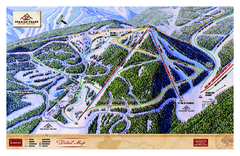
Spanish Peaks Resort Ski Trail Map
Trail map from Spanish Peaks Resort. It has 2 lifts servicing 12 runs; the longest run is 2574...
504 miles away
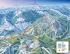
Yellowstone Club Ski Trail Map
Trail map from Yellowstone Club, which provides terrain park skiing. It has 15 lifts servicing 60...
504 miles away
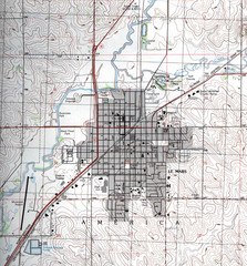
Lemars Iowa Topo Map
USGS topo map of Lemars, Iowa
504 miles away
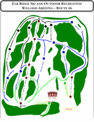
Elk Ridge Ski Trail Map
Trail map from Elk Ridge, which provides downhill skiing. It has 2 lifts servicing 7 runs; the...
504 miles away
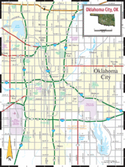
Oklahoma City, Oklahoma City Map
504 miles away
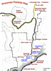
Toroweap Park Map
505 miles away
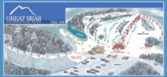
Great Bear Recreation Park Ski Trail Map
Trail map from Great Bear Recreation Park.
505 miles away
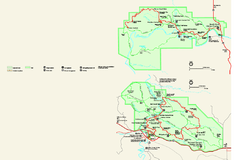
Theodore Roosevelt National Park Official Park Map
Official NPS map of Theodore Roosevelt National Park in North Dakota. Map shows both North and...
505 miles away

Big Sky Resort Lone Peak Detail Ski Trail Map
Trail map from Big Sky Resort, which provides terrain park skiing. It has 21 lifts servicing 150...
506 miles away
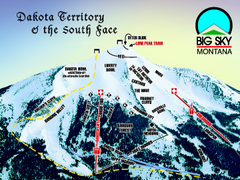
Big Sky Resort Dakota Territory Detail Ski Trail...
Trail map from Big Sky Resort, which provides terrain park skiing. It has 21 lifts servicing 150...
506 miles away

Big Sky Ski Resort Trail Map (Southern exposure...
Big Sky ski resort trail map (Southern exposure) for the 2006-2007 season. Also check out the...
506 miles away
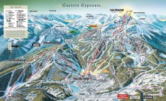
Big Sky Ski Resort Trail Map (Eastern exposure...
Big Sky ski resort trail map (Eastern exposure) for the 2006-2007 season
506 miles away
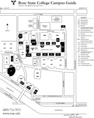
Rose State College Campus Map
Campus Guide to Rose State College, OK
508 miles away
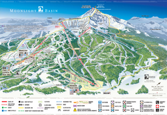
Moonlight Basin Ski Trail Map
Trail map from Moonlight Basin, which provides terrain park skiing. It has 8 lifts servicing 92...
508 miles away
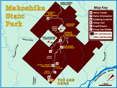
Makoshika State Park Map
To the Sioux Indians, Ma-ko-shi-ka meant bad earth or bad land. Today, as Montana’s largest...
508 miles away
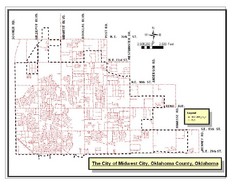
Midwest City Map
City map of Midwest City, Oklahoma
509 miles away
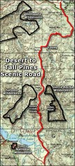
Desert to Tall Pines Scenic Byway Map
A much better map of the Desert to Tall Pines Scenic Byway. Unfortunately does not give hiking...
510 miles away
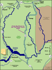
From the Desert to the Tall Pines Scenic Byway Map
Desert to Tall Pines Scenic Byway. This is the Scenic Byways official name. This is not a very...
510 miles away
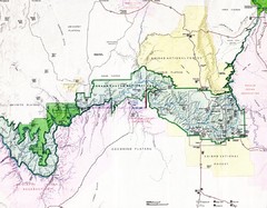
Grand Canyon Map
Guide to the Grand Canyon National Park
511 miles away
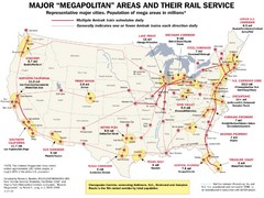
Amtrak Major Railway Map
Guide to major cities and rail lines connecting them
512 miles away
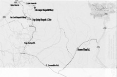
Central Arizona Wineries Map
512 miles away
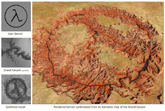
Rendered Terrain of the Grand Canyon Map
Created from Digital Elevation Models
515 miles away
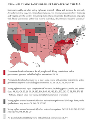
Criminal Disenfranchisement Laws in the U.S. Map
For a state-by-state guide on felony.
516 miles away
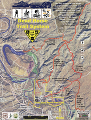
Dead Horse Trail System Map
Trail map of area surrounding Dead Horse State Park in Clarkdale, Arizona
517 miles away
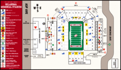
Oklahoma Memorial Stadium Map
517 miles away
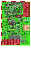
University of Oklahoma - Norman Campus Map
University of Oklahoma - Norman Campus Map. All areas shown.
517 miles away
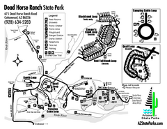
Dead Horse Ranch State Park Map
Map of park with detail of trails and recreation zones
518 miles away
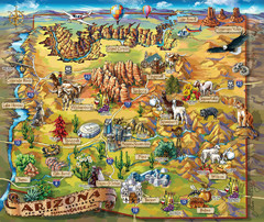
Arizona Fun Map
518 miles away
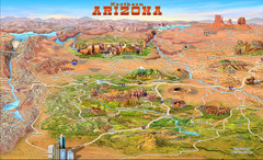
Northern Arizona attractions Map
518 miles away
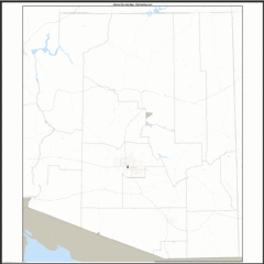
Arizona Zip Code Map
Check out this Zip code map and every other state and county zip code map zipcodeguy.com.
518 miles away
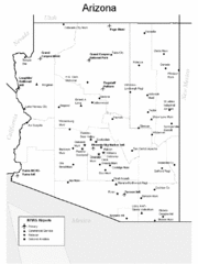
Arizona Airports Map
518 miles away

