Timber Lakes Plat 13 Map
339 miles away
Timber Lakes Plat 12 Map
339 miles away
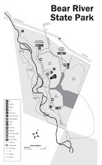
Bear River State Park Map
339 miles away

Timber Lakes Plat 14 Map
339 miles away
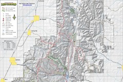
Utah Arapeen OHV Trail System- North Map
The Utah Arapeen OHV Trail System located in near the Towns of Fairview, Ephraim, and Mant, Utah.
341 miles away

Heber City General Plan map
345 miles away

Heber City Zoning Map
345 miles away

Heber City Street Map
345 miles away
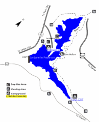
Jordanelle State Park Map
Jordanelle State Park is located in a picturesque mountain setting near Heber City. The park offers...
346 miles away
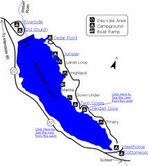
Rockport State Park Map
Find first-rate, year-round recreation at this northern Utah destination. During summer, fish, boat...
347 miles away
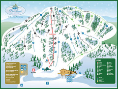
Pine Creek Ski Area Ski Trail Map
Trail map from Pine Creek Ski Area.
348 miles away
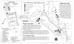
Fort Phil Kearny State Historic Site Map
Fort Phil Kearny State Historic Site is a National Historic Landmark located between Sheridan and...
349 miles away
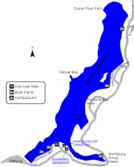
Deer Creek State Park Map
Deer Creek State Park lies in the southwest corner of beautiful Heber Valley and consistently...
349 miles away
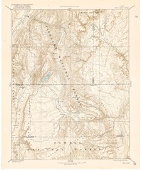
Topo Map of Capitol Reef Region (Fish Lake Quad...
This is one of four USGS maps done by the Powell survey and depicting the area around Capitol Reef...
349 miles away
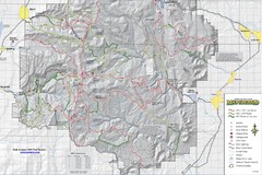
Utha Arapeen OHV Trail System- South Map
Utah Arapeen OHV Trail System map. Located near the towns of Fairview, Ephraim, and Manti, Utah.
349 miles away
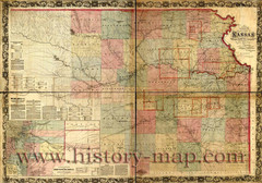
Kansas Railroad Map 1867
Here for your perusal is a sectional map of the state of Kansas showing the route of the Union...
350 miles away
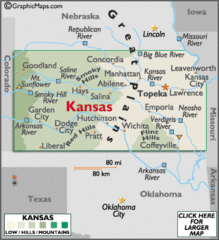
Kansas Elevations Map
350 miles away
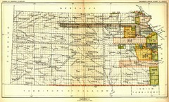
Kansas Native American Territories 1866-1867 Map
489., 492 Cherokee, 19 Jul 1866 (on Indian Territory Map 22, Kansas, Map 27) 495. Sauk and Fox of...
350 miles away
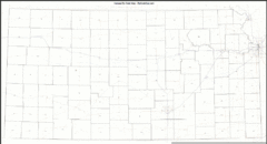
Kansas Zip Code Map
Check out this Zip code map and every other state and county zip code map zipcodeguy.com.
350 miles away
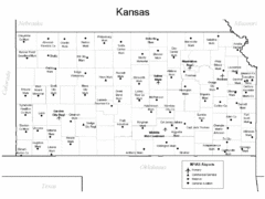
Kansas Airports Map
350 miles away
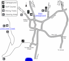
Wasatch Mountain State Park Map
Year-round adventure awaits - golf, hike, bike, camp, horseback ride, snowmobile, cross-country ski...
350 miles away
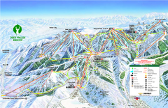
Deer Valley Ski Trail Map
Official ski trail map of Deer Valley ski area from the 2007-2008 season.
350 miles away

Deer Valley Resort Ski Trail Map
Trail map from Deer Valley Resort.
350 miles away

Park City Map
Street map of Park City
351 miles away
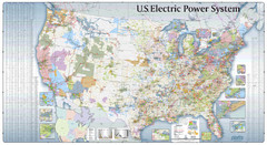
US Electric Power System Map
Map showing the US electric power system. from site: "shows power generation and transmission...
351 miles away
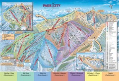
Park City Ski Trail Map
Official ski trail map of Park City ski area for the 2007-08 season.
351 miles away
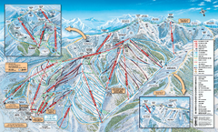
Park City Mountain Resort Ski Trail Map 2006-07
Official ski trail map of Park City for the 2006-2007 season. Site of the 2002 Winter Olympics.
352 miles away
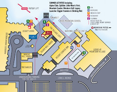
Park City Resort Base Map
Map of Park City Ski Area base buildings.
352 miles away
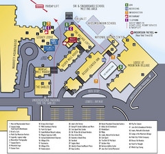
Park City Mountain Resort Map
352 miles away
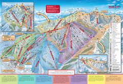
Park City Mountain Trail Map
Map of Park City Mountain's various ski trails
352 miles away
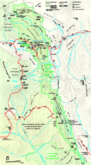
Capitol Reef National Park Official Map
Official NPS map of Capitol Reef National Park in Utah. Map shows all areas. The park and...
352 miles away

Park City Area Map
Area map of Park City, Utah
352 miles away
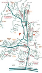
Park City town map
352 miles away
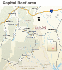
Capitol Reef National Park Map
Clear map marking major highways and cities.
352 miles away
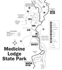
Medicine Lodge State Park Map
The Medicine Lodge site has long been known for its Indian petroglyphs and pictographs, but not...
353 miles away
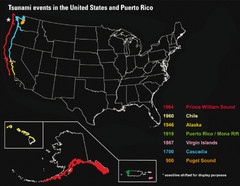
US Tsunami Events Map
Shows tsunami events in the US and Puerto Rico from 900 to 1964. Map not to scale. This map shows...
353 miles away
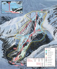
Sundance Ski Trail Map
Official ski trail map of Sundance ski area from the 2007-2008 season.
354 miles away
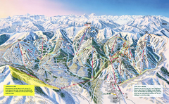
The Canyons Ski Trail Map
Trail map from The Canyons.
355 miles away

