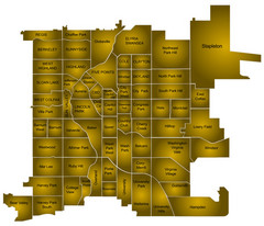
Denver Neighborhoods Map
109 miles away
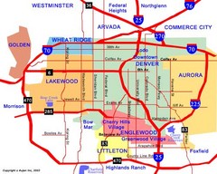
Denver Neighborhoods Map
109 miles away
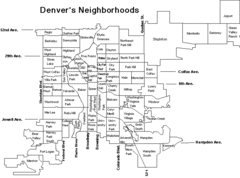
Denver Neighborhoods Map
109 miles away
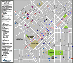
Downtown Denver, Colorado Tourist Map
109 miles away
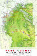
Park County Heritage Map
Shaded relief map of Park County, Colorado shows heritage landscapes, mountains, and
110 miles away
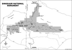
Dinosaur National Monument Map
110 miles away
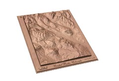
Carved Wooden Map of Crested Butte, Colorado by...
Crested Butte, CO Carved by CarvedMaps.com
110 miles away
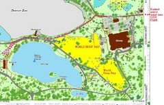
Denver City Park Map
110 miles away
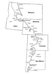
Continental Divide Trail Graphic Map
Guide to the Continental Divide Trail, with major cities and stopping points
111 miles away
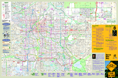
Denver Bike Map - Front
Shows all bike routes in the Denver metro area. This is the Front side of a 2-sided map.
111 miles away
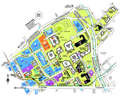
University of Colorado Denver Map
112 miles away
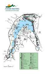
Chatfield State Park Map
Map of park with detail of recreation areas
113 miles away
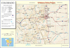
Colorado Cities Map
113 miles away
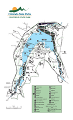
Chatfield State Park map
Detailed recreation map for Chatfield State Park in Colorado
113 miles away
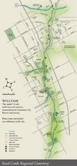
Sand Creek Regional Greenway Map
While the Sand Creek Regional Greenway trail is now usable, the Greenway will be under construction...
113 miles away
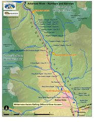
Arkansas River Numbers and Narrows Rafting Map
Rafting map of the Numbers and Narrows rapids sections of the Arkansas River near Buena Vista...
114 miles away
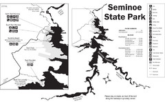
Seminoe State Park Map
Seminoe State Park offers excellent fishing, boating and wildlife-viewing opportunities.
114 miles away
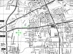
Cheyenne, Wyoming City Map
115 miles away
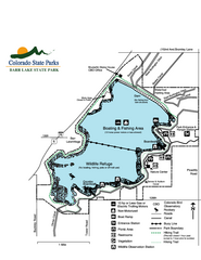
Barr Lake State Park Map
Map of park with detail of trails and recreation zones
115 miles away
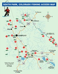
South Park,Colorado Fishing Map
115 miles away
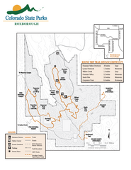
Roxborough State Park Map
Map of park with detail of recreation zones
116 miles away
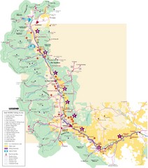
Central Colorado Fishing Guide Map
118 miles away
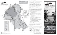
Cherry Creek State Park Map
Map of park with detail of recreation ares
119 miles away
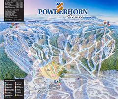
Powderhorn Resort Ski Trail Map
Trail map from Powderhorn Resort, which provides downhill and terrain park skiing. It has 4 lifts...
120 miles away
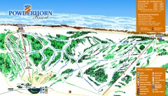
Powderhorn Ski Trail Map
Official ski trail map of Powderhorn Resort ski area from the 2007-2008 season.
120 miles away
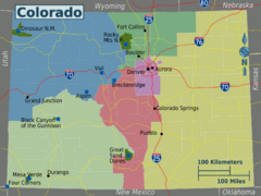
Colorado Region Map
120 miles away

Bluffs Regional Park Map
121 miles away
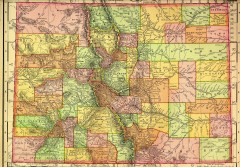
Colorado State map 1895
Map of the state of Colorado, 1895. Shows counties and major topography.
122 miles away
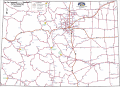
Colorado Highways Map
Road map of highways in state of Colorado
122 miles away
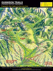
Gunnison Proposed Trails Map
Shows proposed trails from Gunnison, Colorado to Crested Butte, Colorado
122 miles away

Glendale Farm Open Space Map
123 miles away

cherry creek regional trail Map
124 miles away
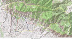
Fruita 18 Road Trail Map
Mountain biking trail map of the 18 Road area in Fruita, CO including Chutes & Ladders, Zipity...
126 miles away
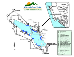
Eleven Mile State Park Map
Map of park with detail of campground zones
126 miles away

Dawson Butte Ranch Open Space Trail Map
126 miles away

Columbine Open Space Map
128 miles away
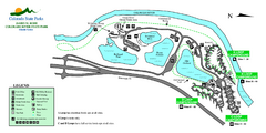
Island Acres State Park Map
Map of island acres section of the James M Robb Colorado River State Park
130 miles away

Hidden Mesa Map
131 miles away
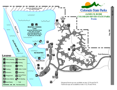
Fruita Area State Park Map
Map of fruita section of the James M Robb Colorado River State Park
131 miles away
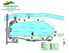
Corn Lake State Park Map
Map of corn lake section of the James M Robb Colorado River State Park
132 miles away

