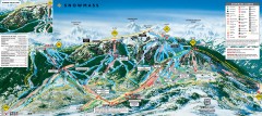
Snowmass Ski Trail Map
Official ski trail map of Snowmass ski area from the 2007-2008 season.
89 miles away
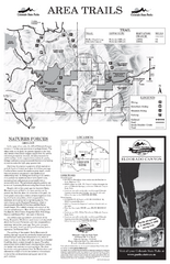
Eldorado Canyon State Park Map
Map of park with detail of trails and recreation zones
89 miles away
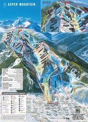
Aspen Mountain Ski Trail Map
Official ski trail map of Aspen ski area from the 2007-2008 season.
89 miles away
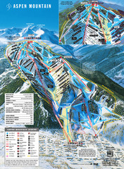
Aspen Mountain Ski Trail Map
Trail map from Aspen Mountain, which provides downhill skiing. It has 8 lifts servicing 76 runs...
89 miles away
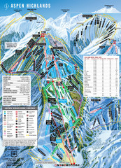
Aspen Highlands Ski Trail Map
Trail map from Aspen Highlands, which provides downhill skiing. It has 5 lifts servicing 125 runs...
90 miles away
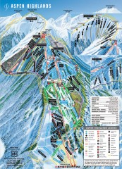
Aspen Highlands Ski Trail Map
Official ski trail map of Aspen Highlands ski area from the 2007-2008 season.
90 miles away
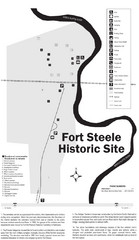
Fort Fred Steele State Historic Site Map
This frontier Army post has a fascinating history interlacing transportation with the military and...
91 miles away

Fort Collins, Colorado City Map
92 miles away
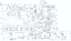
Colorado State University Map
Campus Map of Colorado State University. All area's shown.
92 miles away
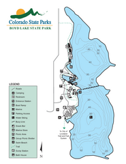
Boyd Lake State Park Map
Map of park with detail of recreation ares
94 miles away
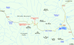
Independence Pass Area, Colorado Map
Basic map of the Independence Pass area near Aspen, Colorado. Independence Pass is the highest...
94 miles away
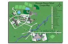
Alexander Dawson School Map
Campus map
95 miles away
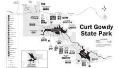
Curt Gowdy State Park Map
Curt Gowdy is a recreation area with three reservoirs. It's great for fishing, camping, water...
96 miles away
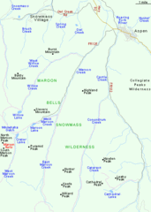
Maroon Bells Area Map
Basic Map of Watershed and Trails around Maroon Bells.
97 miles away
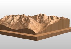
Map carved of the Maroon Bells
CarvedMaps.com can carve any area within the United States. This carving is of the Maroon Bells...
97 miles away
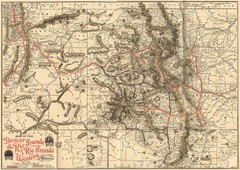
Denver and Rio Grande and Rio Grande Western...
Shows the Denver & Rio Grande and Rio Grande Western railroad system map circa 1904
97 miles away
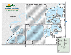
St. Vrain State Park Map
Map of park with detail of recreation zones
99 miles away
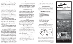
Vega State Park Map
Map of park with detail of recreation zones and campgrounds
100 miles away
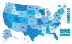
USA States Map
107 miles away
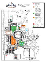
Denver, Colorado Invesco Field Parking Map
107 miles away
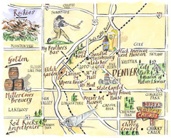
Denver Tourist Illustrated map
108 miles away
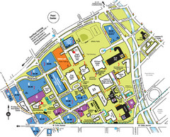
Auraria Campus Map
Map of Auraria Higher Education Center
108 miles away
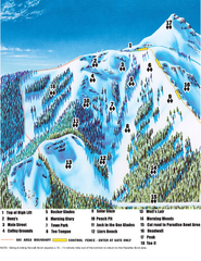
Crested Butte Mountain Resort Teocalli Bowl Ski...
Trail map from Crested Butte Mountain Resort, which provides downhill, nordic, and terrain park...
108 miles away
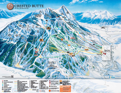
Crested Butte Mountain Resort Ski Trail Map
Trail map from Crested Butte Mountain Resort, which provides downhill, nordic, and terrain park...
108 miles away
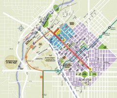
Downtown Denver map
Map of downtown Denver, CO. Shows streets, parks, light rail routes, the Colorado Convention...
108 miles away
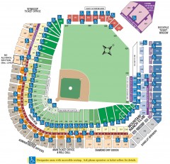
Coors Field Seating Chart Map
Seating chart of Coors Field, home of the MLB Colorado Rockies. This map shows all seating...
108 miles away
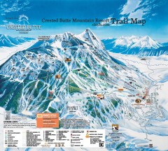
Crested Butte Mountain Resort Ski Trail Map
Official trail map of Crested Butte Mountain Resort, 2006-07 season.
108 miles away
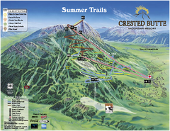
Crested Butte Mountain Resort Summer Trail Map
Official Crested Butte Mountain Resort summer trail map. Created by James Niehues.
108 miles away
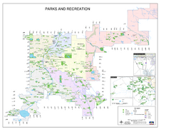
Denver City Parks map
Shows all city parks in the Denver metro area.
109 miles away
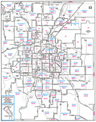
Denver, Colorado Zip Codes Map
109 miles away
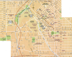
Denver, Colorado City Map
109 miles away
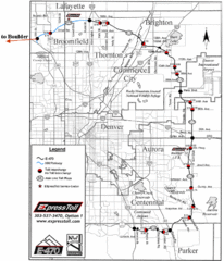
Denver Toll Road Map
109 miles away
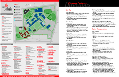
St. John's University Map
St. John's University Campus Map. All buildings shown.
109 miles away
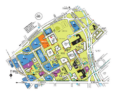
The University of Colorado at Denver and Health...
The University of Colorado at Denver and Health Sciences Center Campus Map. All buildings shown.
109 miles away
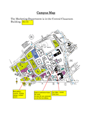
Metropolitan State College of Denver Map
Campus Map of Metropolitan State College of Denver. All buildings shown.
109 miles away
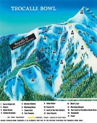
Crested Butte Mountain Resort Ski map - Teocalli...
Inset of the official Crested Butte trail map showing the experts-only Teocalli Bowl.
109 miles away
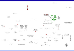
Denver Botanic Garden (York St) Map
109 miles away
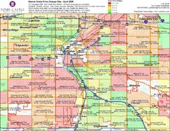
Denver Neighborhoods Map
109 miles away
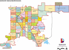
Denver Neighborhoods Map
109 miles away
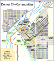
Central Denver Neighborhoods Map
109 miles away

