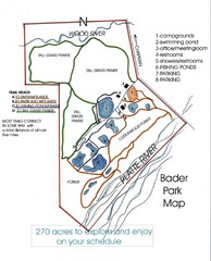
Bader Park Map
456 miles away
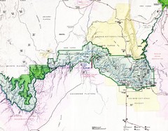
Grand Canyon Map
Guide to the Grand Canyon National Park
457 miles away
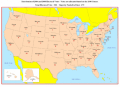
Electoral Votes by State Map
Electoral vote distribution by state
458 miles away
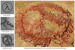
Rendered Terrain of the Grand Canyon Map
Created from Digital Elevation Models
460 miles away
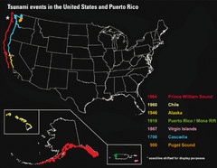
US Tsunami Events Map
Shows tsunami events in the US and Puerto Rico from 900 to 1964. Map not to scale. This map shows...
461 miles away
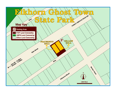
Elkhorn Ghost Town State Park Map
Clearly marked map of old 1880's ghost town with impressive structures.
461 miles away
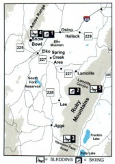
Skiing and Sledding in Elko County, Nevada Map
Map of skiing and sledding opportunities in Elko County, Nevada, showing skiing and sledding...
461 miles away
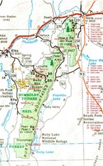
Ruby Mountains Area Map
Included are the communities of Elko, Wells, Deeth, Jiggs, Lee, Lamoille and Spring Creek. Some...
462 miles away
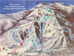
Soldier Mountain Ski Trail Map
Trail map from Soldier Mountain, which provides downhill and terrain park skiing. It has 3 lifts...
462 miles away
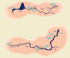
Grand Canyon River Rafting Map
Guide to the Colorado River, Grand Canyon river rafting
462 miles away
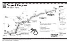
Caprock Canyon, Texas State Park Trail Map
463 miles away
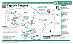
Caprock Canyon, Texas State Park Facility and...
463 miles away
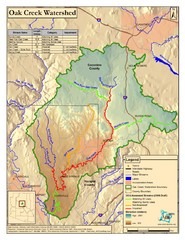
Oak Creek Watershed Map
Colorful Map of Oak Creek Watershed. Includes detailed information about the watershed, roads...
463 miles away
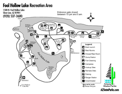
Fool Hollow Lake Recreation Area Map
Map of recreation area with detail of trails and recreation zones
464 miles away
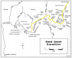
Grand Canyon River Expedition Map
Guide to the Colorado River, rapids and washes
465 miles away
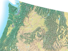
Northwest USA topo Map
465 miles away
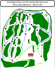
Elk Ridge Ski Trail Map
Trail map from Elk Ridge, which provides downhill skiing. It has 2 lifts servicing 7 runs; the...
466 miles away
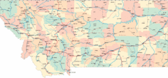
Montana Road Map
468 miles away
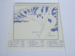
Devil’s Nest Devil’s Nest Ski Trail Map
Trail map from Devil’s Nest. This ski area opened in 1972.
469 miles away
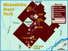
Makoshika State Park Map
To the Sioux Indians, Ma-ko-shi-ka meant bad earth or bad land. Today, as Montana’s largest...
469 miles away
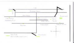
Glenns Ferry City Map
City map of Glenns Ferry, Idaho with information
470 miles away
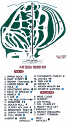
Maverick Mountain Ski Area Ski Trail Map
Trail map from Maverick Mountain Ski Area.
471 miles away
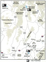
Icefishing Map, Elko County, Nevada
Map of ice fishing locations in Elko County, NV. Shows reservoirs, roads and towns.
472 miles away
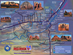
Sedona Tourist Map
Tourist map of Sedona, AZ. Shows points of interest and photos of local red rock formations and...
472 miles away
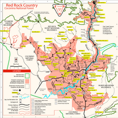
Red Rock County Trail Map
Trail map of trails of Red Rock County, AZ around Sedona, AZ. Shows trailheads and trail names.
473 miles away
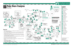
Palo Duro, Texas State Park Facility and Trail Map
474 miles away
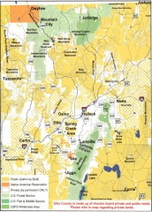
Land Use Map of Elko County, Nevada
Land use map of Elko County, Nevada. Shows lands classified as public or private, and owners of...
474 miles away
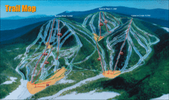
Sunrise Park Resort Ski Trail Map
Trail map from Sunrise Park Resort, which provides downhill, night, nordic, and terrain park skiing...
474 miles away
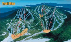
Sunrise Park Ski Trail Map
Official ski trail map of Sunrise Park ski area
475 miles away

Kansas Map Circa 1910
475 miles away
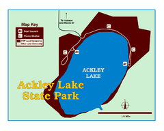
Ackley Lake State Park Map
Simple map of the State Park.
475 miles away
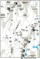
Cross-country Skiing, Elko County, Nevada Map
Map of cross-country skiing opportunities in Elko County, Nevada. Shows skiing locations, roads...
476 miles away
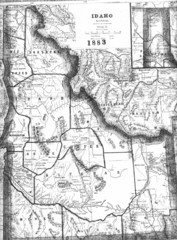
Idaho 1883 Map
476 miles away
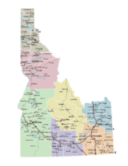
Idaho Road Map
476 miles away
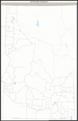
Idaho Zip Code Map
Check out this Zip code map and every other state and county zip code map zipcodeguy.com.
476 miles away
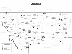
Montana Airports Map
478 miles away
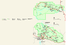
Theodore Roosevelt National Park Official Park Map
Official NPS map of Theodore Roosevelt National Park in North Dakota. Map shows both North and...
478 miles away
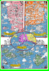
A MAD Pictorial Map of the United States - Back...
I found these raw assembled scans in a dieing torrent in 2010. Hash code...
480 miles away

Snowmobiling Map, Elko County, Nevada
Map of snowmobiling opportunities in Elko County, Nevada. Snowmobiling areas, roads, and towns are...
481 miles away

