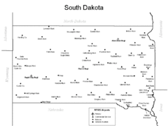
South Dakota Airports Map
429 miles away

Dixie State College Campus Map
Campus Map
431 miles away

South Dakota Map
434 miles away

Metropolis Nevada Ghost Town Map
434 miles away
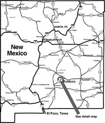
New Mexico Tourist Map
General outline of New Mexico
435 miles away
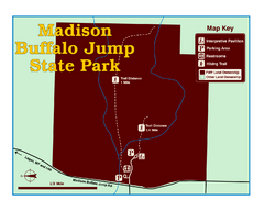
Madison Buffalo Jump State Park Map
You’ll find this day-use-only park seven graveled miles off Interstate 90 at the Logan exit...
437 miles away
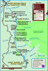
Smith River State Park Map
The Smith River is a unique 59-mile river corridor. Permits are required to float the stretch of...
438 miles away
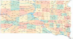
South Dakota Road Map
439 miles away
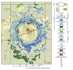
Meteor Crater Geologic Map
440 miles away
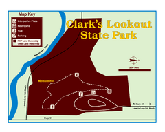
Clark's Lookatout State Park Map
Clearly marked State Park Map.
442 miles away
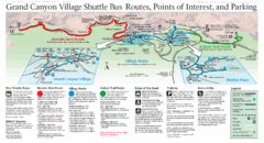
Grand Canyon Shuttle Bus Map
Guide to shuttle bus routes, points of interest and parking in Grand Canyon National Park
442 miles away
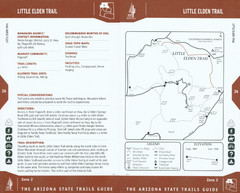
Little Elden Trail Map
Guide to Little Elden Trail near Flagstaff, AZ
443 miles away
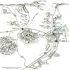
Socorro, New Mexico Guide Map
Trails and mountains map in and around Socorro, New Mexico
443 miles away
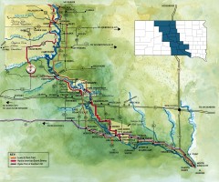
Great Lakes of South Dakota Map
Shows "the other Great Lakes" stretching along the Missouri River in South Dakota. Shows...
443 miles away
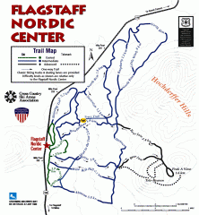
Flagstaff Nordic Center Trail Map
Official ski trail map of Flagstaff Nordic Center
443 miles away

Arizona Snowbowl Ski Trail Map
Official ski trail map of Arizona Snowbowl ski area
444 miles away
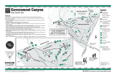
Government Canyon, Texas State Park Facility and...
444 miles away
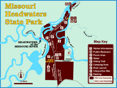
Missouri Headwaters State Park Map
This park encompasses the confluence of the Jefferson, Madison and Gallatin Rivers. The Lewis and...
445 miles away
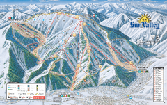
Sun Valley Ski Trail Map 2008
Ski trail map of Sun Valley ski area
447 miles away
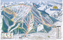
Sun Valley Ski Area Trail Map
Official ski trail map of Bald Mountain, the main mountain of Sun Valley ski area in Sun Valley...
447 miles away
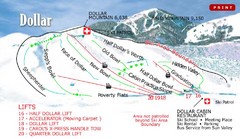
Sun Valley—Bald Mountain Ski Trail Map
Trail map from Sun Valley—Bald Mountain, which provides downhill, nordic, and terrain park skiing...
447 miles away
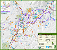
Flagstaff Urban Trails and Bikeways Map
448 miles away
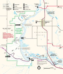
Hagerman Fossil Beds National Monument Map
Official map of Hagerman Fossil Beds National Monument in Hagerman, Idaho
448 miles away
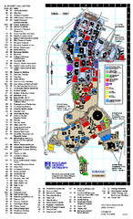
Northern Arizona University Map
Northern Arizona University Campus Map. All buildings shown.
449 miles away
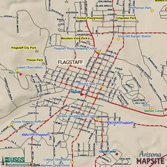
Flagstaff, Arizona City Map
449 miles away
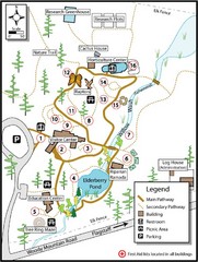
Flagstaff Arboretum Map
449 miles away
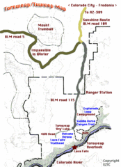
Toroweap Park Map
450 miles away
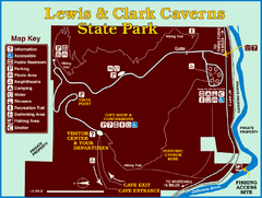
Lewis and Clark Caverns State Park Map
Montana's first and best-known state park showcases one of the most highly decorated limestone...
451 miles away
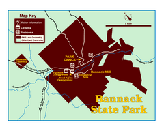
Bannack State Park Map
451 miles away
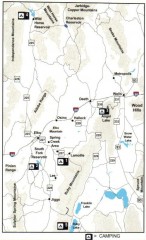
Camping in Elko County, Nevada Map
Map of camping opportunities in Elko County, Nevada, showing camp grounds, roads and towns.
452 miles away
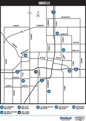
Amarillo Map
Map of main roads/highways in Amarillo
454 miles away

Attractions in Amarillo, Texas Map
Tourist map of Amarillo, Texas. Shows museums, sports facilities, and other attractions.
454 miles away
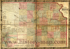
Kansas Railroad Map 1867
Here for your perusal is a sectional map of the state of Kansas showing the route of the Union...
454 miles away
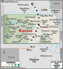
Kansas Elevations Map
454 miles away
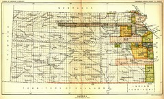
Kansas Native American Territories 1866-1867 Map
489., 492 Cherokee, 19 Jul 1866 (on Indian Territory Map 22, Kansas, Map 27) 495. Sauk and Fox of...
454 miles away
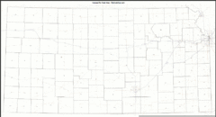
Kansas Zip Code Map
Check out this Zip code map and every other state and county zip code map zipcodeguy.com.
454 miles away
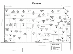
Kansas Airports Map
454 miles away
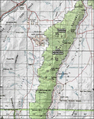
Ruby Mountains Wilderness Map
Overview map of Ruby Mountains Wilderness and Lamoille Canyon
455 miles away
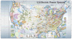
US Electric Power System Map
Map showing the US electric power system. from site: "shows power generation and transmission...
455 miles away
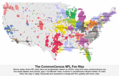
NFL Fan Bases Map
Shows US fan bases of NFL teams
456 miles away

