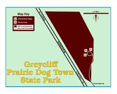
Greycliff Prairie Dog Town State Park Map
Grab your camera and hop off Interstate 90 at Greycliff to delight in the playful, curious black...
395 miles away
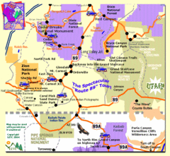
Zion National Park Tourist Map
396 miles away
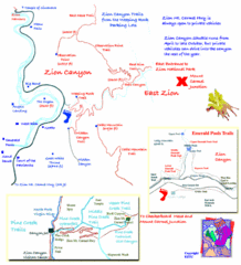
Zion National Park Trails Map
397 miles away
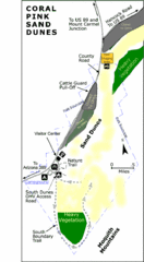
Coral Pink Sand Dunes State Park Map
Rippling arcs of rust-colored sand welcome you as you enter Coral Pink Sand Dunes State Park...
397 miles away
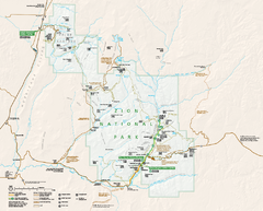
Zion National Park Official map
Official park map of Zion National Park. Shows trails, roads, and all park facilities.
398 miles away
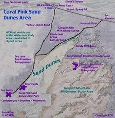
Coral Pink Sand Dunes Map
400 miles away

Zion Canyon Map
A detailed map of the Zion Canyon in Zion National Park
400 miles away
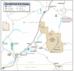
Zion National Park Highway Map
Highways, roads, cities and points of interest are marked on this clear map.
401 miles away
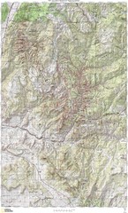
Zion National Park Topography Map
401 miles away
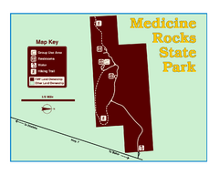
Medicine Rocks State Park Map
As the name implies, Medicine Rocks was a place of "big medicine" where Indian hunting...
404 miles away
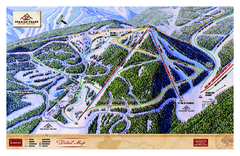
Spanish Peaks Resort Ski Trail Map
Trail map from Spanish Peaks Resort. It has 2 lifts servicing 12 runs; the longest run is 2574...
404 miles away
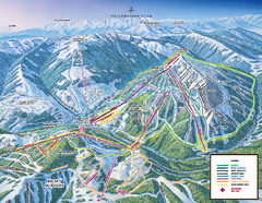
Yellowstone Club Ski Trail Map
Trail map from Yellowstone Club, which provides terrain park skiing. It has 15 lifts servicing 60...
404 miles away
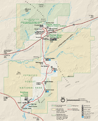
Petrified Forest National Park Official Park Map
Official NPS map of Petrified Forest National Park in Arizona. Open year round except Christmas...
405 miles away
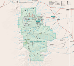
Great Basin National Park Map
406 miles away

Big Sky Ski Resort Trail Map (Southern exposure...
Big Sky ski resort trail map (Southern exposure) for the 2006-2007 season. Also check out the...
406 miles away
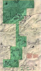
Petrified Forest National Park Map
Petrified Forest National Park Map with trails, vistiors centers and park area marked.
406 miles away

Big Sky Resort Lone Peak Detail Ski Trail Map
Trail map from Big Sky Resort, which provides terrain park skiing. It has 21 lifts servicing 150...
406 miles away
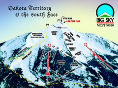
Big Sky Resort Dakota Territory Detail Ski Trail...
Trail map from Big Sky Resort, which provides terrain park skiing. It has 21 lifts servicing 150...
406 miles away
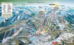
Big Sky Ski Resort Trail Map (Eastern exposure...
Big Sky ski resort trail map (Eastern exposure) for the 2006-2007 season
407 miles away
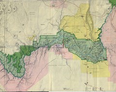
Grand Canyon National Park Map
Grand Canyon National Park including Kaibab National Forest and Coconino Plateau
408 miles away
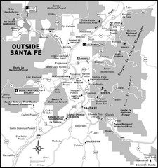
Surrounding Santa Fe, New Mexico Area Map
408 miles away
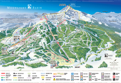
Moonlight Basin Ski Trail Map
Trail map from Moonlight Basin, which provides terrain park skiing. It has 8 lifts servicing 92...
409 miles away
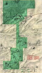
Petrified Forest Map
Map of the Petrified Forest, Painted Desert and Rainbow Forest. Shows all roads, tourist...
411 miles away
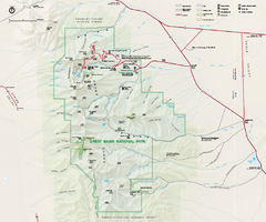
Great Basin National Park Map
Official NPS park map of Great Basin National Park. Shows all roads, trails, and facilities...
412 miles away
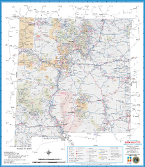
New Mexico Road Map
Detailed road map of state of New Mexico
413 miles away
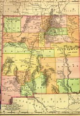
New Mexico 1895 Map
415 miles away
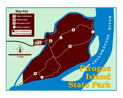
Pirogue Island State Park Map
Visitors find this isolated and undeveloped cottonwood-covered Yellowstone River island an...
417 miles away
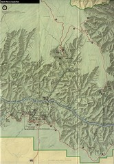
Grand Canyon National Park Map
418 miles away
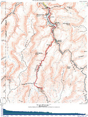
Grand Canyon Havasupai Campground Map
The Grand Canyon Havasupai Campground Map
418 miles away
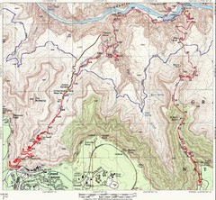
Grand Canyon Hiking Trail Map
Topo map of the Grand Canyon with a loop hike down the South Kaibab Trail and up Bright Angel Trail...
419 miles away
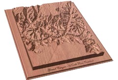
North Rim of the Grand Canyon carved by...
Grand Canyon carved by CarvedMaps.com. They specialize in hard wood carved maps of anywhere within...
420 miles away
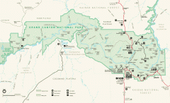
Grand Canyon National Park map
Official map of Grand Canyon National Park. Currently not available on the NPS website
420 miles away
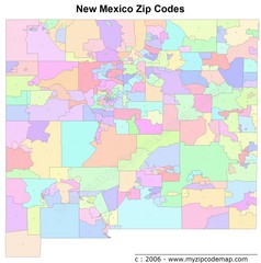
New Mexico Zip Codes Map
421 miles away
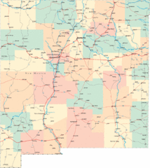
New Mexico Road Map
Detailed road map of New Mexico state
422 miles away

Bridger Bowl Ski Area Ski Trail Map
Trail map from Bridger Bowl Ski Area.
424 miles away
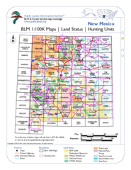
Index of BLM Maps for NM Hunting Units Map
This handy index shows the BLM surface management (land ownership) maps you need for all the...
424 miles away
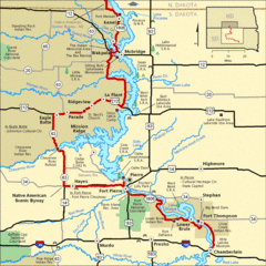
Native American Scenic Byway, South Dakota...
427 miles away

Map of North and South Dakota 1906
429 miles away

Sourth Dakota Wind Resource Map
429 miles away

South Dakota Counties Map
429 miles away

