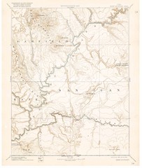
Henry Mtns Topo Map, circa 1892
One of a set of four maps circa 1890s by USGS depicting the area around the Henry Mtns and Capitol...
274 miles away
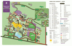
Weber State University Map
Weber State University Campus Map. All buildings shown.
275 miles away

Black Hills National Forest Map
Areas in Black Hills National Forest
275 miles away
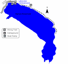
Hyrum State Park Map
Tucked away in Cache County, Hyrum State Park offers many recreation opportunities including...
275 miles away

Wind Cave Tour Routes Detail Map
Shows the following tour routes: Natural Entrance Tour, Garden Eden Tour, Fairgrounds Tour, and...
275 miles away
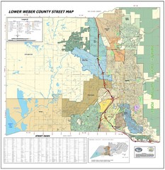
Lower Weber County Street Map
Street map for area around Ogden, UT
275 miles away
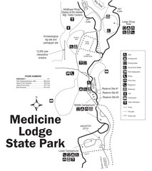
Medicine Lodge State Park Map
The Medicine Lodge site has long been known for its Indian petroglyphs and pictographs, but not...
275 miles away

Sangre de Cristo Mountain Trail Map
Ski trail map of one of the Sangre de Cristo mountains
276 miles away

Black Hills National Forest Park Map
277 miles away
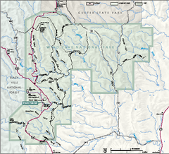
Wind Cave National Park Official Park Map
Official NPS map of Wind Cave National Park in South Dakota. Wind Cave is one of the world's...
278 miles away
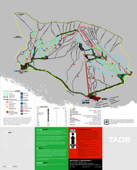
Taos Ski Valley Ski Trail Map
Trail map from Taos Ski Valley.
278 miles away
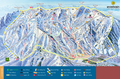
Snowbasin Mountain Trail Map
Ski trail map of Snowbasin Mountain
278 miles away
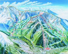
Taos Ski Valley Trail map
Official ski map of Taos Ski Valley. 12 lifts servicing 1,294 acres.
278 miles away
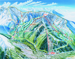
Taos Ski Area Ski Trail map 2006-07
Ski trail map of Taos ski area for the 2006-2007 season. A James Niehues creation.
278 miles away
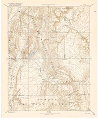
Topo Map of Capitol Reef Region (Fish Lake Quad...
This is one of four USGS maps done by the Powell survey and depicting the area around Capitol Reef...
280 miles away
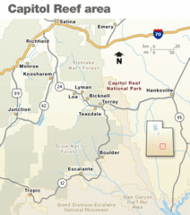
Capitol Reef National Park Map
Clear map marking major highways and cities.
281 miles away
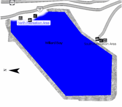
Willard Bay State Park Map
Boat, swim, waterski, and fish on the warm waters of Willard Bay. Camp under tall cottonwood trees...
281 miles away
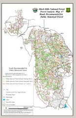
Black Hills National Forest Tourist Map
Black Hills National Forest in Custer, South Dakota
281 miles away
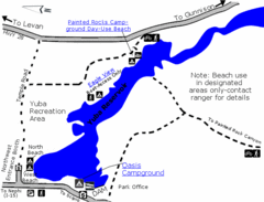
Yuba State Park Map
The sprawling waters of Yuba State Park provide a variety of recreation opportunities for visitors...
282 miles away
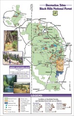
Black Hills National Forest Guide Map
Forest Recreation guide Map
282 miles away
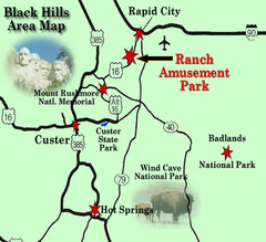
Black Hills Area Map
282 miles away
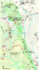
Capitol Reef National Park Official Map
Official NPS map of Capitol Reef National Park in Utah. Map shows all areas. The park and...
283 miles away
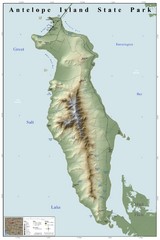
Antelope Island State Park Map
Shaded relief map of Antelope Island State Park, Utah. Shows facilities, peaks, and springs...
284 miles away
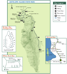
Antelope Island State Park Map
Trail map of Antelope Island State Park in the Great Salt Lake, Utah. Shows campgrounds.
284 miles away
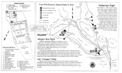
Fort Phil Kearny State Historic Site Map
Fort Phil Kearny State Historic Site is a National Historic Landmark located between Sheridan and...
285 miles away
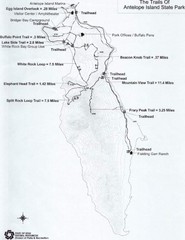
Antelope Island State Park Map
Antelope Island State Park, the largest island in the Great Salt Lake, is home to a roaming herd of...
286 miles away
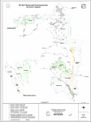
Caribou-Targhee Park map
288 miles away
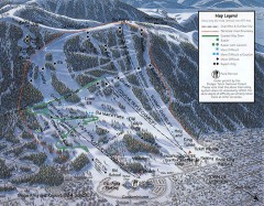
Snow King Ski Trail Map
Official ski trail map of Snow King ski area
290 miles away
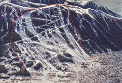
Snow King Ski Area Ski Trail Map
Trail map from Snow King Ski Area.
290 miles away
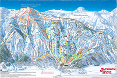
Jackson Hole Trail Map
291 miles away

Black Hills Map
291 miles away
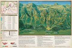
Jackson Hole Summer Mountain Map
291 miles away
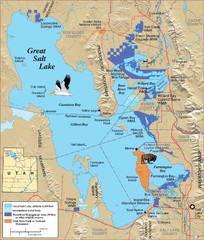
Great Salt Lake Map
294 miles away
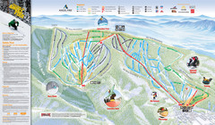
Angel Fire Resort Ski Trail Map
Trail map from Angel Fire Resort.
294 miles away
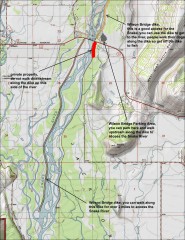
Wilson Bridge Fishing map
Shows access points to the Snake River from the Wilson Bridge area. From jackdennis.com: "...
294 miles away
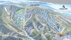
Angel Fire Ski Trail Map
Official ski trail map of Angel Fire ski area from the 2007-2008 season.
295 miles away
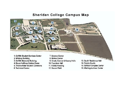
Sheridan College Campus Map
Sheridan College Campus Map. Shows all buildings.
298 miles away
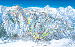
Jackson Hole Mountain Resort Ski Trail Map
Trail map from Jackson Hole Mountain Resort, which provides terrain park skiing. It has 12 lifts...
299 miles away
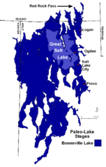
Lake Bonneville Levels Map
299 miles away


