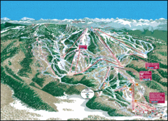
Steamboat Springs Trail Map
Guide to trails in Steamboat Springs Ski Resort, Colorado
0 miles away
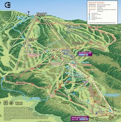
Steamboat Springs Bike Trail Map
Bike trail for Steamboat Springs mountain bike trail.
1 mile away
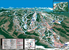
Steamboat Trail Map
1 mile away
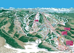
Steamboat Trail Map
Ski trail map
1 mile away
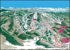
Steamboat Springs Mountain Map
2 miles away
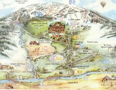
Steamboat Springs Map
A fun map marking points of interest and more.
2 miles away
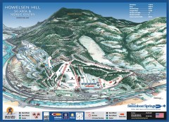
Howelsen Hill Ski Trail Map
Official map of Howelsen Hill ski area in Steamboat, CO. Map shows both downhill and nordic trails...
2 miles away
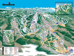
Steamboat Ski Resort Ski Trail Map
Trail map from Steamboat Ski Resort, which provides downhill and terrain park skiing. It has 18...
2 miles away
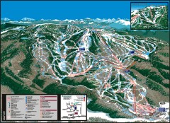
Steamboat Ski Area Ski trail map
Official ski trail map of Steamboat ski area in Steamboat Springs, CO from the 2006-2007 season...
3 miles away
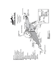
Stagecoach State Park Map
Map of park with detail of campgrounds and recreation zones
13 miles away
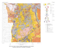
Mount Zirkel Wilderness and Vicinity Geologic Map
Geologic Map of Mount Zirkel Wilderness
21 miles away
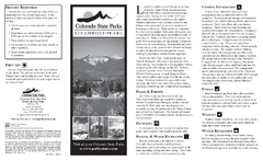
Steamboat Lake State Park Map
Map of park with detail of recreation zones
25 miles away
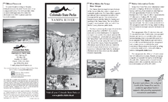
Yampa River State Park Map
Map of park with detail of recreation zones
33 miles away
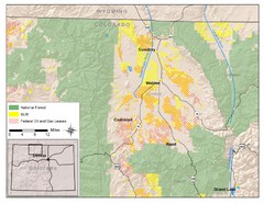
North Park Colorado Map
40 miles away
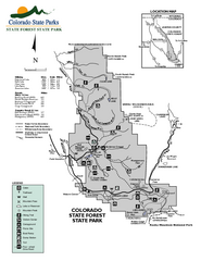
State Forest State Park Map
Map of park with detail of trails and recreation zones
46 miles away
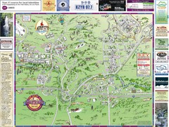
Resort Maps of Eagle River Valley Map
Resort Maps of Eagle River Valley is the most popular and widely distributed map of Minturn, Red...
56 miles away
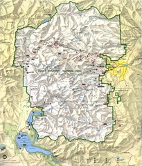
Rocky Mountain National Park Map
Rocky Mountain National Park Map and surrounding National Forests of Arapaho and Roosevelt.
56 miles away
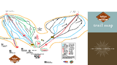
SolVista Basin at Granby Ranch Ski Trail Map
Trail map from SolVista Basin at Granby Ranch, which provides downhill and terrain park skiing. It...
56 miles away

Eagle River Valley Resort Maps Map
Resort Maps of Eagle River Valley is the most popular and widely distributed map of Minturn, Red...
58 miles away
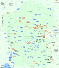
Rocky Mountain National Park Tourist Map
60 miles away
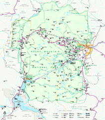
Rocky Mountain National Park Official Map
Rocky Mountain National Park Official Map. Shows all roads, trails, rivers, and mountain summits.
61 miles away
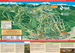
Vail Mountain resort Summer Adventure Map
Map of all hiking and mountain biking trails maintained by Vail Mountain Resort
61 miles away
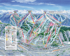
Vail Map
Map of Vail with ski locations and lifts included
61 miles away
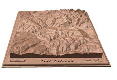
Vail, Colorado carved by carvedmaps.com Map
62 miles away
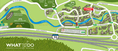
Vail Village Map
62 miles away
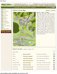
Beaver Creek Map
Beaver Creek Map, Beaver Creek Shopping Map, Beaver Creek Lodging Map, Activities, Restaurants...
62 miles away
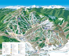
Beaver Creek Ski Trail Map
Official ski trail map of Beaver Creek ski area from the 2007-2008 season. Map also includes...
62 miles away
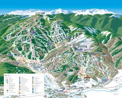
Beaver Creek Resort Ski Trail Map
Trail map from Beaver Creek Resort, which provides downhill and terrain park skiing. It has 16...
63 miles away
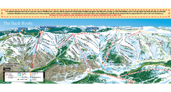
Vail Ski Trail map 2006-07
Ski trail map of Vail ski area for the 2006-2007 season. Shows all 3 sides of Vail: 1) Back Bowls...
64 miles away
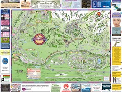
Minturn Map
64 miles away
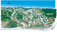
Vail Ski Trail Map
Trail map from Vail, which provides downhill and terrain park skiing. It has 32 lifts servicing 193...
64 miles away
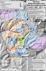
Vail Pass Area Recreation map
Recreation map of the area south of Vail Pass, Colorado. Shows trails and management areas.
67 miles away

Winter Park Trail Map
Ski trail map
68 miles away

Winter Park Trail Map
68 miles away
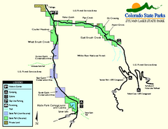
Sylvan Lake State Park Map
Map of park with detail of recreation zones and campgrounds
68 miles away
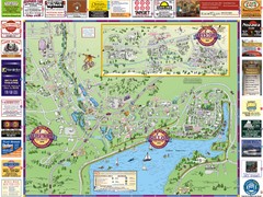
Summit County Resort Maps Map
Resort Maps of Summit County is the most widely distributed map in Frisco, Copper Mountain...
68 miles away
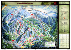
Winter Park Resort Ski Trail Map
Trail map from Winter Park Resort, which provides downhill and terrain park skiing. It has 25 lifts...
68 miles away

Glenwood Springs, CO carved by CarvedMaps.com Map
Glenwood Springs, Colorado carved by CarvedMaps.com Virtually anywhere within the US can be carved...
68 miles away
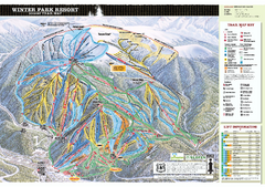
Winter Park Resort Ski Trail Map 2006-07
Official ski trail map of Winter Park for the 2006-2007 season.
69 miles away

