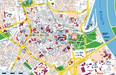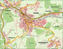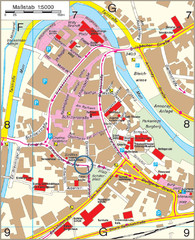
Backnang City Map
Street map of Backnang city center
241 miles away
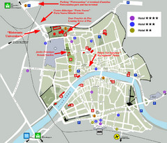
Pisa Map
City map of Pisa, the famed city of the Leaning Tower of Pisa with beautiful views and recreational...
241 miles away
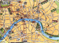
Pisa Tourist Map
Tourist map of Pisa, Italy. Shows major buildings.
241 miles away
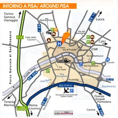
Pisa Around Map
241 miles away
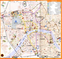
Pisa Map
241 miles away
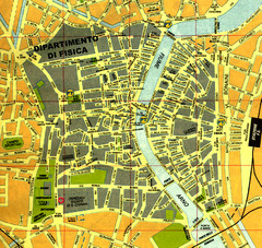
Pisa Town Map
Map of Pisa town centre and University of Pisa
241 miles away
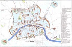
Pisa major monuments Map
241 miles away
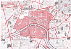
Pisa Map
241 miles away
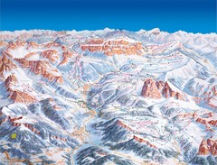
Val Gardena Ski Trail Map
Trail map from Val Gardena.
241 miles away
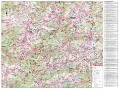
Val di Fassa Hiking Map
Hiking trail map of the Val di Fassa, Italy region. Highly detailed.
242 miles away
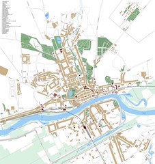
Landsberg Map
Street map of city of Landsberg
243 miles away
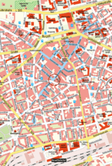
Kaiserslautern Center Map
Street map of Kaiserslautern city center
243 miles away
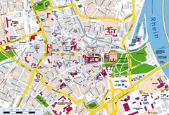
Speyer City Map
City map of central Speyer, Germany
243 miles away
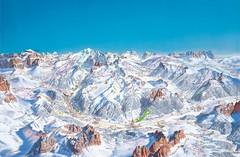
Canazei Campitello Ski Trail Map
Ski trail map of Canazei-Campitello area in the Italian Dolomites.
244 miles away
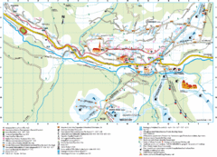
Santa Cristina Tourist Map
Tourist map of town of Santa Cristina Val Gardena, Italy. Santa Cristina lies on the sunny side of...
244 miles away
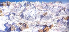
Campitello di Fassa Ski Map
244 miles away
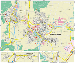
Herbrechtingen Map
Street map of city of Herbrechtingen
244 miles away
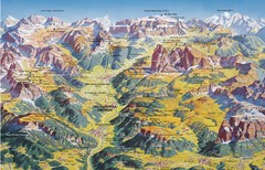
Val Gardena Summer Trail Map
Summer panoramic trail map of the Val Gardena, Italy area in the heart of the Dolomite Mountains...
245 miles away
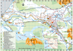
Selva Gardena Tourist Map
Tourist map of Selva Gardena, Italy, a popular skiing and hiking destination in the Italian Alps.
246 miles away
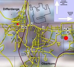
Differdange Bus Map
246 miles away
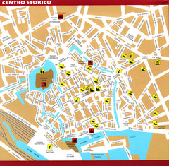
Livorno Tourist Map
Tourist map of historical center of Livorno, Italy. Shows tourist points of interest.
246 miles away
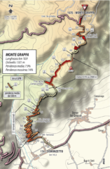
Monte Grappa Giro Stage 14 Cycling Route Map
Cycling route of the climb up Monte Grappa in Stage 14 of the 2010 Giro d'Italia. Averages 8...
247 miles away
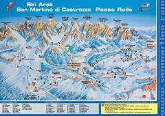
San Martino di Cartozza Ski Trail Map
Ski trail map of San Martino di Cartozza, Italy
247 miles away
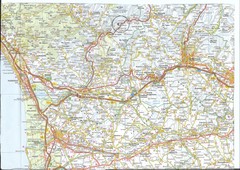
Northwest Tuscany Area Map
Scan of road map of northwestern Tuscany showing Pisa, Lucca, and Pistoia areas.
247 miles away

Heilbronn Tourist Map
Tourist map of Heilbronn
247 miles away
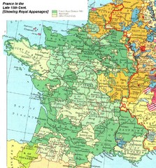
France Late 15th Century Map
France in the Late 15th Century (showing Royal Appanages)
248 miles away
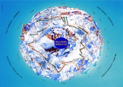
Sella Ronda Ski Tour Map
Shows ski mountaineering tour of Sella Ronda, a circular ski route leading around the mighty Sella...
248 miles away
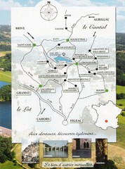
Southern France Tourist Map
Hand drawn map of an area of southern France with pictures and cities shown.
248 miles away

Bad Durkheim Tourist Map
Tourist map of Bad Durkhiem
249 miles away
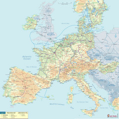
European Railway Map
249 miles away
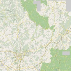
Luxembourg Bike Map
250 miles away
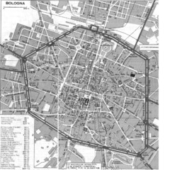
Bologna Italy City Map
Street level map of Bologna, Italy city center with some buildings noted.
250 miles away
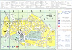
Fontainebleau Avon Map
250 miles away
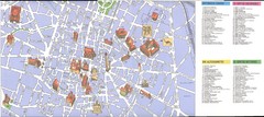
Bologna centro Map
250 miles away
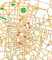
Bologna Hotel Map
250 miles away
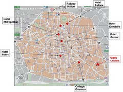
Bologna Tourist Map
250 miles away
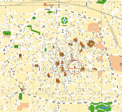
Bologna Tourist Map
Tourist map of Bologna, Italy. Shows 3D drawings of landmark buildings.
250 miles away
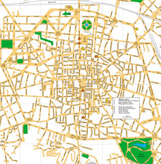
Bologna Italy City Center Street Map
Detailed Street map of Bologna's city centre with a few hotels and key points of interest...
250 miles away

