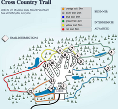
Mount Pakenham Nordic Ski Trail Map
Trail map from Mount Pakenham, which provides downhill and nordic skiing. This ski area has its own...
219 miles away
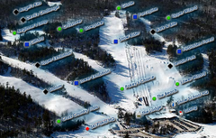
Mount Pakenham Ski Trail Map
Trail map from Mount Pakenham, which provides downhill and nordic skiing. This ski area has its own...
219 miles away
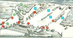
Tussey Mountain Ski Trail Map
Trail map from Tussey Mountain.
221 miles away
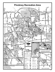
Pinckney State Park, Michigan Site Map
221 miles away
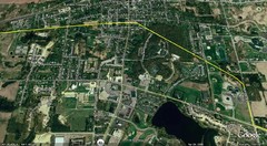
Interurban Track through Chelsea, Michigan Map
A map of the Detroit, Jackson and Chicago Railway interurban track as it went through Chelsea...
221 miles away
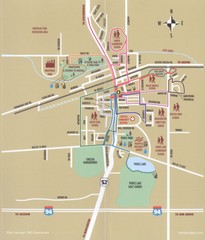
Chelsea MI Map
221 miles away
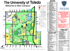
The University of Toledo Map
The University of Toledo Campus Map. All buildings shown.
222 miles away

Arnprior Downtown Map
Arnprior, Ontario, Canada
222 miles away

Whipple Dam State Park map
Detailed recreation map for Whipple Dam State Park in Pennsylvania
223 miles away
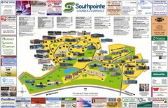
Southpointe Community Map
Tourist map of planned community in Pennsylvania
223 miles away
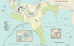
Worlds End State Park map
Detailed recreation map for Worlds End State Park in Pennsylvania
224 miles away
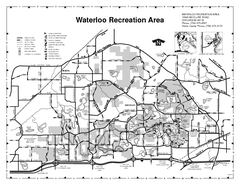
Waterloo State Recreation Area Map
The park is over 20,000 acres and has 4 campgrounds, beaches, picnic areas, 11 fishing lakes...
225 miles away

R. B. Winter State Park map
Recreation map for R. B. Winter State Park in Pennsylvania
225 miles away

Penn-Roosevelt State Park map
Recreation map for Penn Roosevelt State Park in Pennsylvania
225 miles away

Toledo Zoo Map
226 miles away
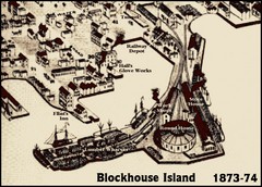
Blockhouse Island Map 1874
Bird’s Eye view map of Brockville created by artist Herman Brosius and the lithographers...
226 miles away

Poe Valley State Park map
Detailed recreation map for Poe Valley State Park in Pennsylvania
226 miles away
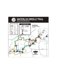
Waterloo State Recreation Area Bridle Trails Map
The Waterloo State Recreation Area has 12 miles of bridle trails and a horse campground.
226 miles away
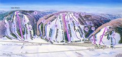
Snow Ridge Ski Trail Map
Trail map from Snow Ridge.
227 miles away

Canoe Creek State Park map
Detailed recreation map for Canoe Creek State Park in Pennsylvania
227 miles away

Camp Miakonda Map
227 miles away

Downtown Johnstown Map
Downtown Johnstown road and bus route map.
227 miles away
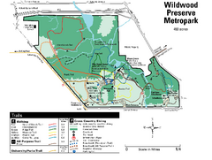
Wildwood Preserve Metropark Map
227 miles away
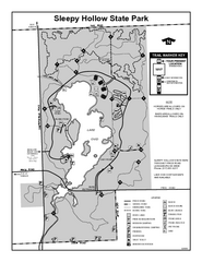
Sleepy Hollow State Park, Michigan Site Map
227 miles away
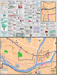
Binghampton Bus Route Map
228 miles away

Swan Creek Metropark Map
228 miles away

Greenwood Furnace State Park Ma Map
Detailed map of Greenwood Furnace State Park in Pennsylvania
228 miles away
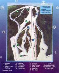
Woods Valley Ski Area Ski Trail Map
Trail map from Woods Valley Ski Area.
231 miles away
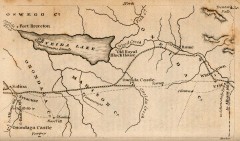
Antique map of Utica, NY from 1830
Map of Utica, NY from The Northern Traveller, and Northern Tour; with the Routes to The Springs...
231 miles away

Reeds Gap State Park map
Detailed recreation map of Reeds Gap State Park in Pennsylvania
232 miles away

Secor Metropark Map
232 miles away
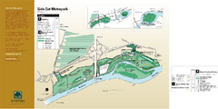
Side Cut Metropark Map
233 miles away
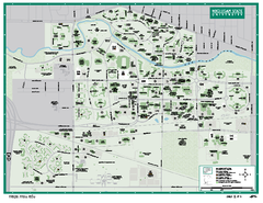
Michigan State University Map
Campus map of Michigan State University. All buildings shown.
234 miles away
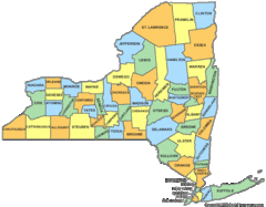
New York Counties Map
234 miles away
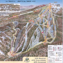
Blue Knob Four Seasons Ski Trail Map
Trail map from Blue Knob Four Seasons.
234 miles away

Mohican State Park map
Detailed recreation map for Mohican State Park in Ohio
234 miles away

Milton State Park map
Detailed recreation map of Milton State Park in Pennsylvania
235 miles away

Linn Run State Park map
Detailed map of Linn Run State Park and Laurel Mountain State Park in Pennsylvania
235 miles away

Blue Knob State Park Map
Detailed recreation map for Blue Knob State Park in Pennsylvania
235 miles away
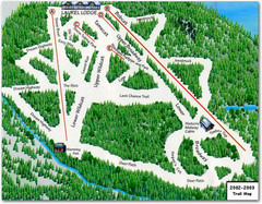
Laurel Mountain Ski Resort Ski Trail Map
Trail map from Laurel Mountain Ski Resort.
235 miles away

