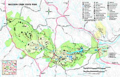
Raccoon Creek State Park Map
Detailed recreation map for Raccoon Creek State Park in Pennsylvania
208 miles away

Yellow Creek State Park map
Recreation map for Yellow Creek State Park in Pennsylvania
209 miles away
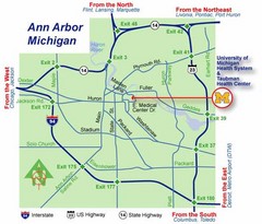
Ann Arbor, Michigan City Map
209 miles away
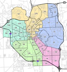
Ann Arbor City Map
City map of Ann Arbor, Michigan, with voting precincts.
209 miles away

1978 Bradford County, Pennsylvania Map
209 miles away
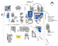
University of Michigan Map
Campus map
209 miles away
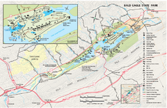
Bald Eagle State Park map
Detailed trail map of Bald Eagle State Park in Pennsylvania.
209 miles away

Prince Gallitzin State Park Map
Detailed Recreation map of Prince Gallitzin State Park in Pennsylvania
209 miles away
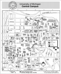
University of Michigan - Ann Arbor Map
University of Michigan - Ann Arbor, campus map. All buildings shown.
209 miles away
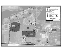
Ottawa National Wildlife refugee Map
211 miles away
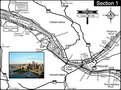
Ohio River at Pittsburgh, PA at the confluence of...
This is a page from the Ohio River Guidebook. The Ohio River begins at this confluence. This map...
211 miles away
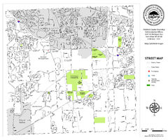
Pittsfield Twp MI street map
212 miles away
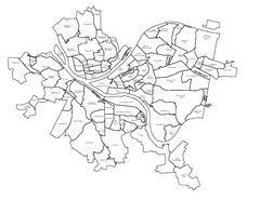
Pittsburgh neighborhoods Map
212 miles away
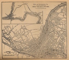
Antique map of Pittsburgh from 1879
"Map of Pittsburgh, Pa. Showing the Location of its Furnaces, Rolling Mills and Steel Works...
212 miles away
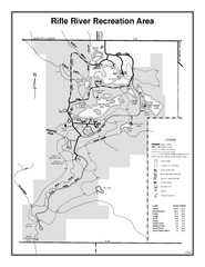
Rifle River Recreation Area, Michigan Site Map
212 miles away
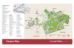
Carnegie Mellon Campus Map
Campus map of Carnegie Mellon University (CMU) in Pittsburgh, PA.
212 miles away
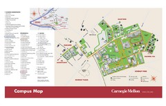
Carnegie Mellon Campus Map
Map of the Carnegie Mellon Campus. Includes all buildings, streets and the location of the campus...
212 miles away
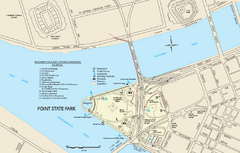
Point State Park Map
Recreation map for Point State Park in Pennsylvania
212 miles away
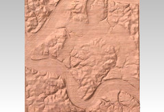
Pittsburgh map carved by CarvedMaps.com
Wood Map of the three rivers area of Pittsburgh, PA. CarvedMaps.com can carve any area within...
212 miles away
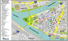
Pittsburgh Tourist Map
212 miles away
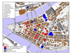
Pittsburgh Tourist Map
212 miles away
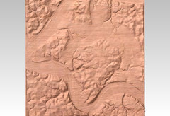
Pittsburgh, PA carved by carvedmaps.com Map
We can carve any location within the United States. Do you have a mountain cabin? We can carve...
212 miles away
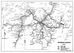
Pittsburgh, Pennsylvania City Map
212 miles away
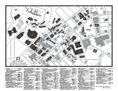
University of Pittsburgh - Main Campus Map
University of Pittsburgh - Main Campus Map. All buildings shown.
213 miles away
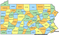
Pennsylvania Counties Map
213 miles away
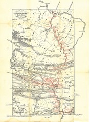
Lehigh Valley Railroad Historical Map
Built in 1846, this railroad was built primarily to haul coal. It was also known as the Route of...
213 miles away
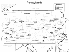
Pennsylvania Airports Map
213 miles away
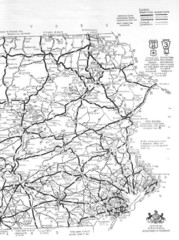
Eastern Pennsylvania Road Map
213 miles away
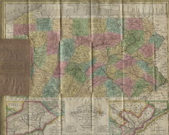
Pennsylvania Tourist Pocket Map
The map is dated 1820-31 by counties shown and comes from Anthony Finley's A New General Atlas...
213 miles away
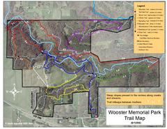
Wooster Memorial Park Trail Map
214 miles away
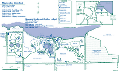
Maumee Bay State Park Map
215 miles away
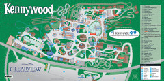
Kennywood Theme Park Map
"America's Finest Traditional Amusement Park" is the slogan for this fun, high rated...
216 miles away
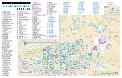
Pennsylvania State University - University Park...
Campus map of Pennsylvania State University - University Park. All buildings shown.
217 miles away
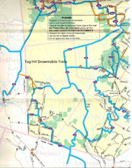
Tug Hill Trail Map
Tug Hill Area Snow Mobile Trail Map
217 miles away

Panhandle Rail-Trail Map
217 miles away
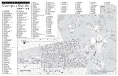
Penn State - University Park Campus Map
Official campus map of the Penn State University Park Campus, 2007-08. Located in the heart of...
217 miles away
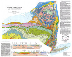
New York State Geologic Map
1:1,000,000 scale geological map of New York State
218 miles away
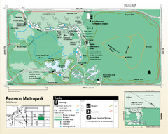
Pearson Metropark Map
219 miles away
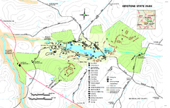
Keystone State Park Map
Detailed recreation map for Keystone State Park in Pennsylvania
219 miles away

