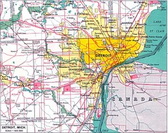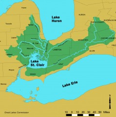
Lake St. Clair/St. Clair River watershed Map
Shows the Lake St. Clair/St. Clair River watershed.
152 miles away
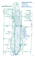
Mosquito Lake State Park map
Detailed recreation map for Mosquito Lake State Park in Ohio
153 miles away

Bendigo State Park map
Detailed map of Bendigo State Park in Pennsylvania
153 miles away
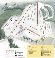
Alpine Valley Ski Area Ski Trail Map
Trail map from Alpine Valley Ski Area.
154 miles away

Cook Forest State Park map
Detailed trail map of Cook Forest State Park in Pennsylvania
154 miles away
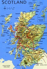
Scotland Tourist Map
155 miles away

Clear Creek State Park map
Detailed map of Clear Creek State Park in Pennsylvania
158 miles away
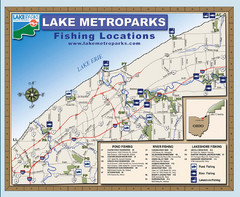
Lake Metroparks Fishing Map
159 miles away
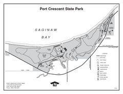
Port Crescent State Park, Michigan Site Map
159 miles away
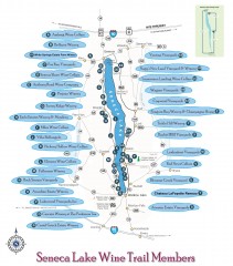
Seneca Lake Wine Trail Map
Winery tour map of Seneca Lake area in New York. Shows all vineyards that are members of the wine...
161 miles away
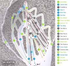
Ski Denton Ski Trail Map
Trail map from Ski Denton.
162 miles away

Bucktail State Park Natural Area map
Detailed map of Bucktail State Park Natural Area in Pennsylvania
162 miles away
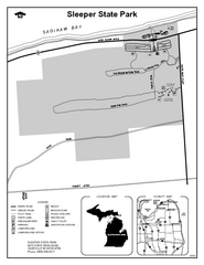
Sleeper State Park, Michigan Site Map
164 miles away
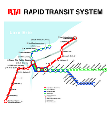
Cleveland Rapid Transit Map
165 miles away
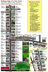
Little Italy Map
Walking tour map with labeled sites.
166 miles away
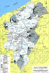
Pittsburgh District Development Map
Authorized Civil works projects for the Pittsburgh District marked as completed or in progress.
166 miles away
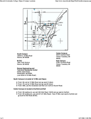
Macomb Community College Campus Map
Macomb Community College Campus Map. All buildings shown.
167 miles away
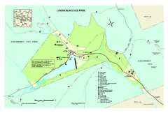
Lyman Run State Park Map
Detailed recreation map for Lyman Run State Park in Pennsylvania
167 miles away
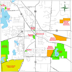
Aurora City Parks Map
Map of city parks in Aurora, Ohio.
167 miles away
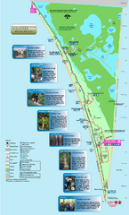
Point Pelee National Park Map
Large and clear national park map
169 miles away
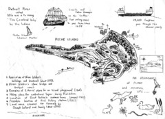
Peche Island Map
Hand-drawn map of Peche Island, Michigan
170 miles away
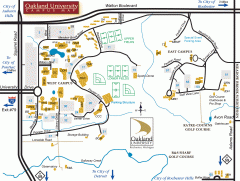
Oakland University Map
Oakland University Campus Map. All buildings shown.
171 miles away
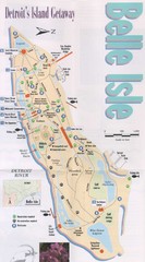
Belle Isle Tourist Map
Tourist map of Belle Isle, Detroit's island get-away
172 miles away

Belle Isle Park Map
Map of Belle Isle Park
173 miles away
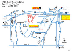
NASA Glenn Research Center Location Map
174 miles away
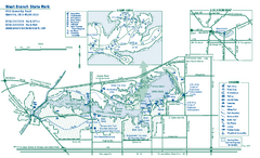
West Branch State Park map
Detailed recreation map for West Branch State Park in Ohio.
174 miles away
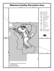
Metamora-Hadley State Park, Michigan Site Map
175 miles away
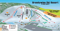
Boston Mills / Brandywine Ski Resort Brandywine...
Trail map from Boston Mills / Brandywine Ski Resort.
175 miles away
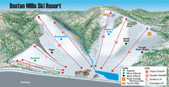
Boston Mills / Brandywine Ski Resort Boston Mills...
Trail map from Boston Mills / Brandywine Ski Resort.
175 miles away

Detroit Belle Isle Grand Prix Map
176 miles away
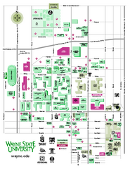
Wayne State University Map
Wayne State University Campus Map. All buildings shown.
176 miles away
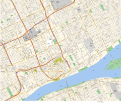
Detroit, MI Tourist Map
176 miles away
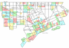
Detroit Neighborhoods Map
176 miles away

Wayne State University Map
176 miles away
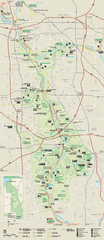
Cuyahoga Valley National Park Official Park Map
Official NPS map of Cuyahoga Valley National Park in Ohio. Map shows all areas. Cuyahoga Valley...
176 miles away

Detroit, Michigan City Map
176 miles away
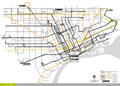
DDOT 2006 System Map
Detroit Department of Transportation Transit System.
176 miles away
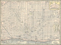
Map of the Main Portion of Detroit - 1895
Map of downtown Detroit, 1895. From Rand McNally's Atlas of the World, 1901, page 42
176 miles away
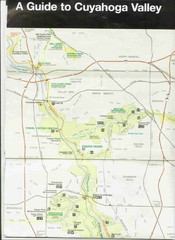
Cuyhoga National Park Map
176 miles away

