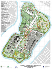
Randall's Island Park Map
Master plan for Randall's Island Park
363 miles away
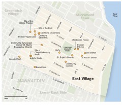
East Village walking tour map
Walking tour of the East Village in New York City, showing points of interest.
363 miles away
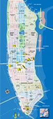
Manhattan Tourist Map
Tourist map of Manhattan, showing Museums, buildings of interest, and various neighborhoods.
363 miles away
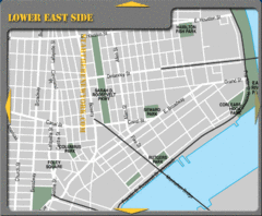
Lower Eastside New York City Hotel Map
363 miles away
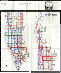
1974 Manhattan Bus Map
363 miles away
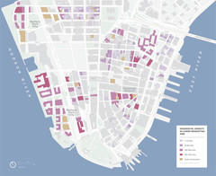
Lower Manhattan Map
363 miles away

Rock Island State Park Map
Tour around this beautiful state park.
363 miles away
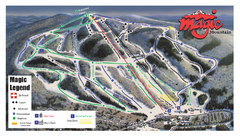
Magic Mountain Ski Trail Map
Trail map from Magic Mountain.
363 miles away
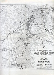
Mount Mansfield Map
Long Trail map for Green Mountains in Vermont
363 miles away
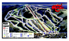
Magic Mountain Ski Trail map
Official ski trail map of Magic Mountain ski area from the 2006-2007 season.
363 miles away
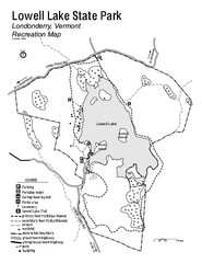
Lowell Lake State Park map
Campground map for Lowell Lake State Park in Vermont
363 miles away
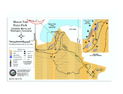
Mount Tom State Park trail map
Trail map of Mt. Tom State Park in Connecticut.
363 miles away
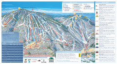
Okemo Ski Trail Map
Ski trail map of Okemo ski area. A James Niehues creation.
363 miles away
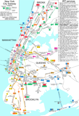
New York City Subway Map
Map of NYC subway transit system and stops
363 miles away
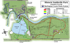
Smithville Park Trail Map
363 miles away
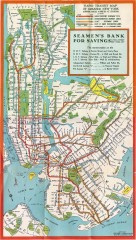
New York Subway Map, 1930
A New York City subway map from the 1930s
363 miles away
Okemo Mountain Resort Ski Trail Map
Trail map from Okemo Mountain Resort.
363 miles away
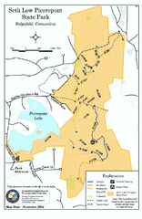
Seth Low Pierrepont State Park Reserve map
Trail map of Seth Low Pierreport State Park in Connecticut.
363 miles away
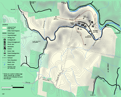
Mohawk Trail State Forest map
Map of the Mohawk Trail State Forest in Charlemont, Massachusetts.
363 miles away
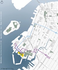
IKEA Brooklyn Map
Location map and map of bus routes and access streets to IKEA in Brooklyn, NY.
363 miles away
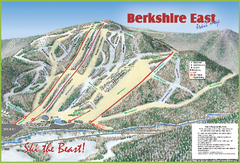
Berkshire East Ski Area Ski Trail Map
Trail map from Berkshire East Ski Area.
364 miles away
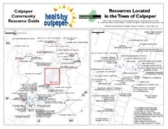
Culpeper, Virginia City Map
Locations and resources in Culpeper
364 miles away
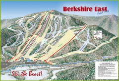
Berkshire East Ski Trail Map
Official ski trail map of Berkshire East ski area from the 2007-2008 season.
364 miles away
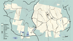
Kenneth Dubuque Memorial State Park trail map
Trail map of the Kenneth Dubuque state park conservation area in Massachusetts.
364 miles away
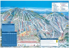
Okemo Mountain Resort ski trail map 2006-07
Official ski trail map of Okemo ski area for the 2006-2007 season. Slopes & Trails 624 acres...
364 miles away
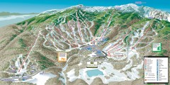
Stowe ski trail map 2006-07
Complete ski trail map of Stowe Mountain resort for 2006-2007 season.
364 miles away
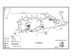
Molly Stark State Park Campground Map
Campground map for Molly State State Park in Vermont
364 miles away
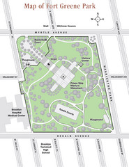
Fort Greene Park Map
Overview map of Fort Greene Park. Shows the park's historic structures and recreational...
364 miles away
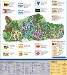
Paramount's Kings Island Map
364 miles away
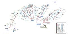
Stowe Mountain Resort Ski Trail Map
Trail map from Stowe Mountain Resort, which provides downhill, nordic, and terrain park skiing. It...
364 miles away
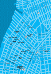
Williamsburg Art Gallery map
Map of Williamsburg and Greenpoint art galleries in Brooklyn, New York. Shows subway stops as well.
364 miles away
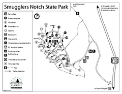
Smugglers Notch State Park Campground Map
Campground map of Smugglers Notch State Park in Vermont
364 miles away
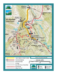
Smugglers Notch Trail Map
Trail map for Smugglers Notch State Park in Vermont
365 miles away
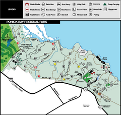
Pohick Bay Regional Park Map
Park map of Pohick Bay Regional Park near Lorton, VA on the Potomac River. Shows trails and...
365 miles away

NYC Biking Route Map (Part of Queens, Brookyln...
Official biking route map of part of Queens, Brookyln and Staten Island
365 miles away
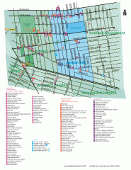
Clinton Hill Neighborhood map
Business and transportation map of the Clinton Hill neighborhood in Brooklyn, New York.
365 miles away
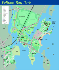
Pelham Bay Park NYC Map
Official detailed map of Pelham bay park, the largest park in New York City at 2,700 acres. Map...
365 miles away
Camp Plymouth State Park map
Map of Camp Plymouth Park in Vermont.
365 miles away
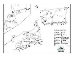
Coolidge State Park Campground Map
Campground map of Coolidge State Park in Vermont
365 miles away
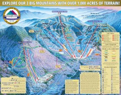
Smugglers' Notch Ski Trail map 2006-07
Official ski trail map of Smugglers' Notch (Smuggs) ski area from the 2006-2007 season.
365 miles away

