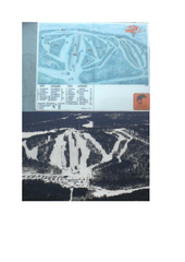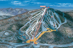
Bromley Mountain Ski Area map 2006-07
Simple ski trail map of Bromley Mountain Ski Area for the 2006-2007 season.
354 miles away
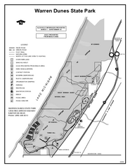
Warren Dunes State Park, Michigan Site Map
354 miles away
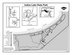
Indian Lake State Park, Michigan Site Map
354 miles away
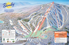
Bromley Mountain Ski Trail Map
Trail map from Bromley Mountain.
354 miles away
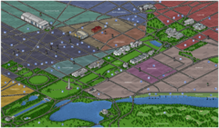
Washington DC Tourist Map
Tourist map of Washington, DC. Bird's-eye view of landmark buildings.
354 miles away
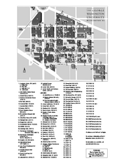
The George Washington University Map
Campus Map of The George Washington University in Washington, D.C. All areas shown.
354 miles away
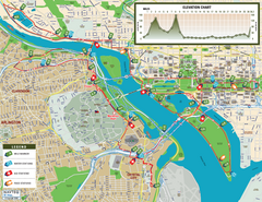
Washington D.C. Marine Corps Marathon Course Map...
Official 2008 course map of the Washington D.C. Marine Corps Marathon
354 miles away
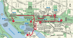
Walking tour of the Washington DC mall Map
Tourist map and walking tour of the National Mall in Washington D.C.
354 miles away
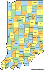
Indiana Counties Map
354 miles away
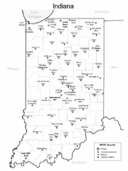
Indiana Airports Map
354 miles away
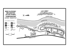
Housatonic Meadows State Park campground map
Campground map for Housatonic Meadows State Park in Connecticut.
354 miles away
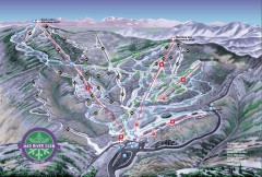
Mad River Glen Ski Area Trail Map
Official ski trail map of Mad River Glen ski area from the 2006-207 season.
354 miles away
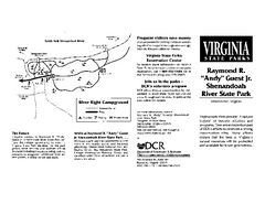
Shenandoah River State Park Map
Detailed map and legend of this beautiful state park.
354 miles away
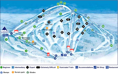
Val Saint-Come Ski Trail Map
Trail map from Val Saint-Come, which provides downhill skiing. This ski area has its own website.
354 miles away
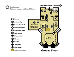
Floor Map of the Smithsonian National Museum of...
Official Floor Map of the Smithsonian National Museum of Natural History in Washington, D.C. Shows...
355 miles away
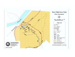
Kent Falls State Park trail map
Trail map of Kent Falls State Park in Connecticut.
355 miles away
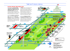
National Mall in Washington, D.C. Map
Official map of the National Mall, including the National Museum of Natural History and other...
355 miles away
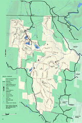
Savoy Mountain winter map
Winter use map of Savoy Mountain in Massachusetts.
355 miles away
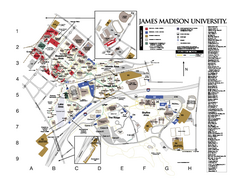
James Madison University Map
James Madison University Campus Map. All buildings shown.
355 miles away
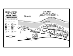
Housatonic State Forest campground map
Campground map of Housatonic State Forest in Connecticut.
355 miles away
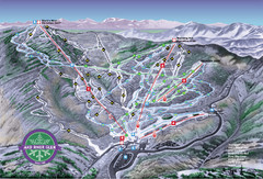
Mad River Glen Ski Trail Map
Trail map from Mad River Glen, which provides downhill skiing. It has 5 lifts servicing 45 runs...
355 miles away
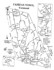
Fairfax Town Map
355 miles away
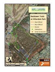
Rocktown Trail Map
Aerial trail map of Rocktown trails at Hillandale Park in Harrisonburg, VA
355 miles away
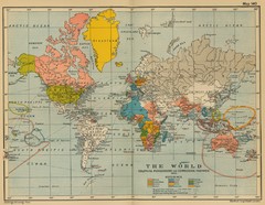
Colonial Posessions and Commercial Highways 1910...
Historical world map (1910) of various colonization and highway expansion
355 miles away

Shenandoah National Park map
Official NPS map of Shenandoah National Park.
355 miles away
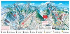
Sugarbush Resort ski trail map 2006-07
Official ski trail map of Sugarbush ski area from the 2006-2007 season.
355 miles away
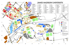
James Madison University Map
355 miles away
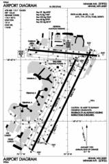
Newark Liberty International Airport Map
355 miles away
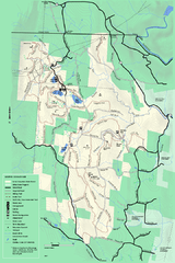
Savoy Mountail trail map
Trail map for Savoy Mountain in Massachusetts.
355 miles away
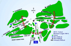
Kamiskotia Ski Resort Ski Trail Map
Trail map from Kamiskotia Ski Resort, which provides downhill skiing. This ski area has its own...
356 miles away
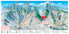
Sugarbush Resort Ski Trail Map
Trail map from Sugarbush Resort.
356 miles away
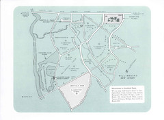
Willingboro Map
356 miles away
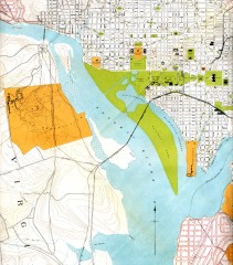
Antique map of Washington D.C. from 1901
Portion of "Map of the District of Columbia" No. D-287, Commission on the Improvement of...
356 miles away
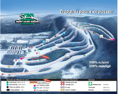
Mont Saint-Bruno Ski Trail Map
Trail map from Mont Saint-Bruno, which provides downhill skiing. This ski area has its own website.
356 miles away
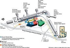
Reagan National Airport DCA Map
356 miles away
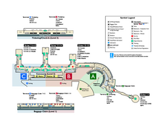
Ronald Reagan Washington National Airport Map
Official Terminal Map of Ronald Reagan Washington National Airport. Shows all areas.
357 miles away
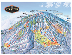
Stratton Mountain ski area trail map 2006-07
Official ski trail map of Stratton Mountain ski area from the 2006-2007 season.
357 miles away
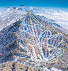
Pico Mountain Ski Trail Map
Ski trail map of Pico ski area, estimated 2002 map
357 miles away

