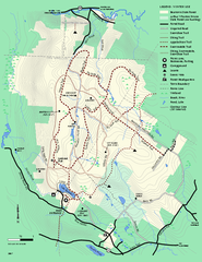
Beartown State Park Winter Map
Winter use map of Beartown State Park in Massachusetts
350 miles away
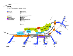
Philadelphia International Airport Terminal Map
Official Map of Philadelphia International Airport. Shows all terminals.
350 miles away
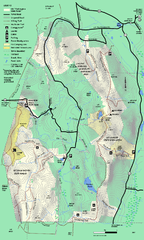
Mt. Washington State Forest trail map
Trail map of Mt. Washington State Forest
351 miles away
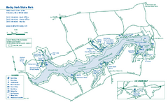
Rocky Fork State Park map
Detailed recreation map for Rocky Fork State Park in Ohio
351 miles away
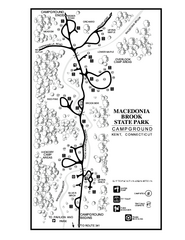
Macedonia Brook State Park campground map
Campground map for Macedonia Brook State Park in Connecticut.
351 miles away
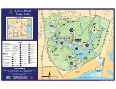
Lums Pond State Park Map
Clear legend and map of this wonderful state park.
351 miles away
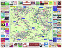
North County Berkshires map
Tourist map of North County - Pittsfield, N. Adams, Adams, Lanesboro, Cheshire, Williamstown...
351 miles away
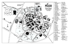
George Mason University Map
Campus map of George Mason University. All buildings shown.
351 miles away
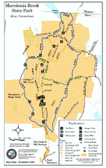
Macedonia Brook State Park trail map
Trail map of Macedonia Brook State Park in Connecticut.
351 miles away
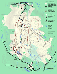
Beartown State Park Summer Map
Summer Map of Beartown State Park in Massachusetts.
351 miles away
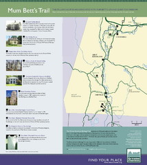
Mum Bett's Trail Map
Historic African American trail guide
351 miles away
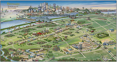
Pictorial map of Brossard
Brossard pictorial map
351 miles away
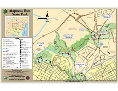
Alapocas Run State Park Map
Detailed map and clear legend for this nice state park.
352 miles away
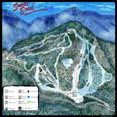
Middlebury Snow Bowl Ski Trail map
Official ski trail map of Middlebury College Snow Bowl ski area.
352 miles away
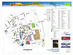
New Brunswick City Map
City map of New Brunswick, New Jersey with tourist information
352 miles away
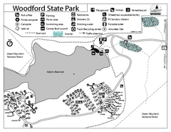
Woodford State Park Campground Map
Campground map for Woodford State Park in Vermont
352 miles away
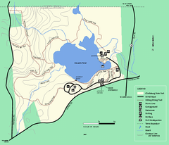
Clarksburg State Park trail map
Trail map of Clarksburg State Park in Massachusetts.
352 miles away
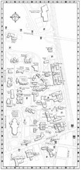
Catholic University of America Campus Map
Campus map of the Catholic University of America in Washington D.C.
352 miles away
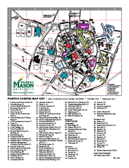
George Mason University Map
352 miles away
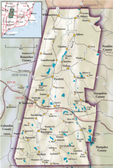
Berkshires Map
Overview map of the Berkshires region of Western Massachusetts
352 miles away
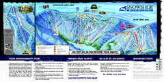
Snowshoe Mountain Ski Trail Map
Trail map from Snowshoe Mountain.
353 miles away
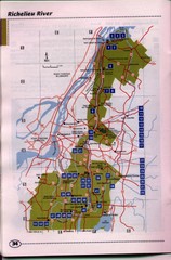
Richelieu River Guide Map
353 miles away
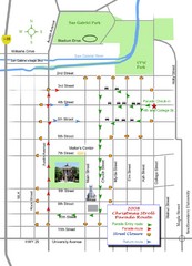
Georgetown Christmas Stroll Paradise Route Map
Walking path through Downtown Georgetown.
353 miles away
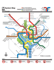
Official Washington DC Metro map
Official color PDF map from the Washington Metropolitan Area Transit Authority. The WMATA operates...
353 miles away
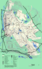
October Mountain State Forest trail map
Trail map of October Mountain State Forest in Massachusetts.
353 miles away

Neshaminy State Park map
Detailed recreation map of Neshaminy State Park in Pennsylvania
353 miles away
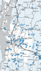
Chittenden County Map
353 miles away
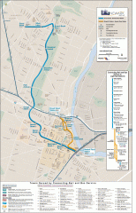
Newark Light Rail system Map
Newark Light rail system
353 miles away
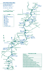
Little Miami State Park map
Detailed recreation map for Little Miami State Park and surrounding area in Ohio
353 miles away
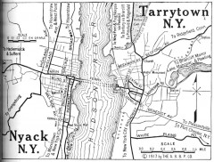
Antique map of Nyack and Tarrytown from 1917
Map of Nyack and Tarrytown, NY from Automobile Blue Book, 1917, Vol. 3
353 miles away
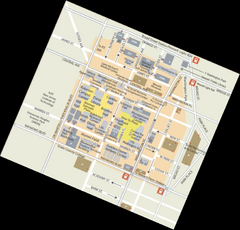
Rutgers University Map
353 miles away
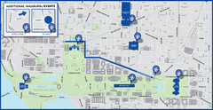
Washington D.C. Tourist Map
Attractions and the city of Washington D.C.
354 miles away
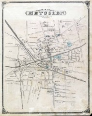
Antique map of Metuchen from 1876
Historic map of Metuchen, New Jersey from 1876
354 miles away
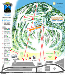
Thunder Ridge Ski Trail Map
Trail map from Thunder Ridge.
354 miles away
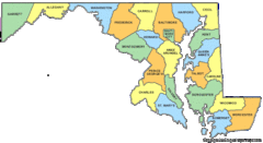
Maryland Counties Map
354 miles away
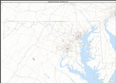
Maryland Zip Code Map
Check out this Zip code map and every other state and county zip code map zipcodeguy.com.
354 miles away
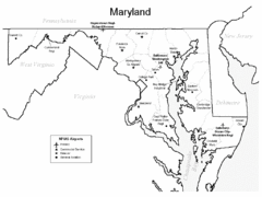
Marylands Airports Map
354 miles away
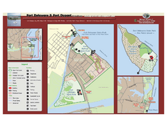
Fort Delaware State Park Map
Nice park on a beautiful island.
354 miles away
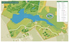
Mercer County Park Map
354 miles away
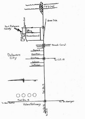
Delaware City Map
City map of Delaware City with Fort Delaware Society highlighted
354 miles away

