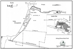
Alburg Dunes State Park map
Map of Alburg Dunes State Park in Vermont.
344 miles away
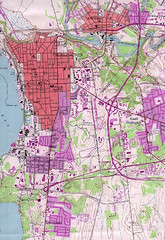
Burlington Vt 87 Map
Topographical map of the city of Burlington, Vt.
344 miles away
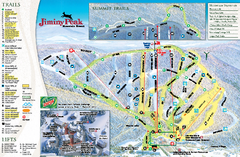
Jiminy Peak Resort Ski Trail Map
Trail map from Jiminy Peak Resort.
344 miles away
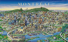
montreal Downtown Map
344 miles away
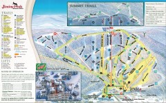
Jiminy Peak Ski Trail Map
Official ski trail map of Jiminy Peak ski area from the 2007-2008 season.
344 miles away
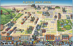
Plateau Mont-Royal Map
Pictorial view of Plateau Mont-Royal
344 miles away
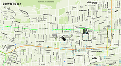
Downtown Montreal Map
Street map of central Montreal. Shows access to the metro and commuter train
344 miles away
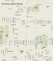
Plateau Mont Royal Map
345 miles away
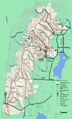
Pittsfield State Forest winter trail map
Winter use trail map of Pittsfield State Forest in Massachusetts.
345 miles away
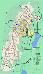
Pittsfield State Forest summer trail map
Summer use trail map of Pittsfield State Forest in Massachusetts.
345 miles away
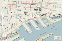
Old Montreal and Old Port Bike Map
Bike route map of Old Montreal and Old Port area
345 miles away
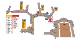
Baltimore Washington International Airport Map
345 miles away
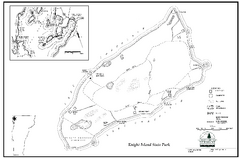
Knight Island State Park Campground Map
Map of Knight Island State Park in Vermont
345 miles away
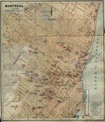
Antique map of Montreal from 1894
"Montreal" from Baedeker, Karl. The Dominion of Canada with Newfoundland and an Excursion...
345 miles away
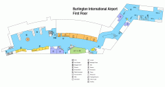
Burlington International Airport Terminal Map
Official Terminal Map of Burlington International Airport. All areas shown.
346 miles away
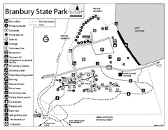
Branbury State Park map
Campground map of Branbury State Park in Vermont
346 miles away
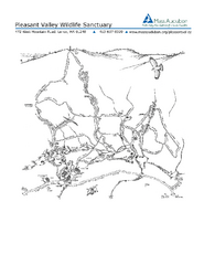
Pleasant Valley Wildlife Sanctuary Trail Map
Trail map of Pleasant Valley Wildlife Sanctuary
346 miles away
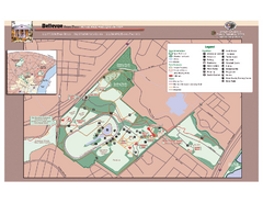
Bellevue State Park Map
Beautiful park with easy to read details.
346 miles away
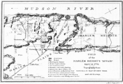
Harlem Hieghts Affair Map
Topography of the field during the battle on Sept 16 1776
346 miles away
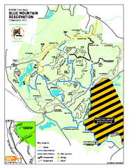
Blue Mountain Reservation Mountain Bike Trail Map
Mountain biking map of the Blue Mountain Reservation from the Westchester Mountain Biking...
346 miles away
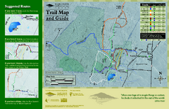
Equinox Preservation Trail map
Trail map of the Equinox Preservation Trust in Manchester, VT. The Equinox Preservation is over...
346 miles away
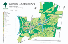
Colonial Park, Somerset, NJ Map
346 miles away
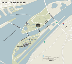
Parc Jean Drapeau Map
Park map of Parc Jean Drapeau in the St. Lawrence River, Montreal
346 miles away
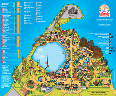
Six Flags La Ronde Theme Park Map
Official Park Map of Six Flags La Ronde Theme Park in Montreal, Quebec.
346 miles away
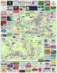
South County Berkshires map
Tourist map of Great Barrington, Housatonic, Sheffield, S. Egremont, N. Egremont Lenox, Stockbridge...
347 miles away
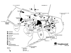
Tanglewood Map
Detailed map of the Tanglewood grounds that includes the location of the Box Office, Friends Office...
347 miles away
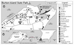
Burton Island State Park map
Campground map of Burton Island State Park in Vermont
347 miles away
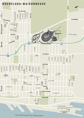
Hochelaga-Maisonneuve Map
347 miles away
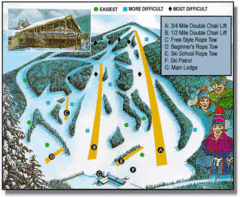
Bousquet Ski Area Ski Trail Map
Trail map from Bousquet Ski Area.
347 miles away
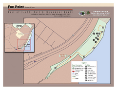
Fox Point State Park Map
Clear and simple state park map.
347 miles away
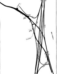
South Laurel, Maryland Map
347 miles away
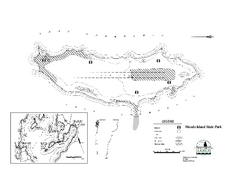
Woods Island State Park Campground Map
Campground map of Woods Island State Park in Vermont
347 miles away
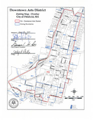
Pittsfield,, Massachusetts City Map
347 miles away
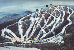
Brodie Ski Trail Map
Trail map from Brodie.
347 miles away

Philadelphia Germantown Map
347 miles away
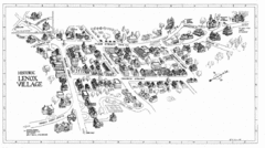
Lenox Village Map
Hand-drawn village map of historic center of Lenox, Massachusetts
348 miles away
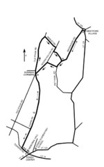
30K Race Course Map
Green Mountain Athletic Association Common to Common 30K Course Map in Essex Junction, VT
348 miles away
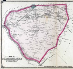
Antique map of Piscataway from 1876
Historic map of Piscataway, New Jersey from 1876.
348 miles away
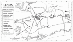
Lenox Town Map
Hand-drawn town map of Lenox, Mass. Bordered by Lenox Mountain and October Mountain. Shows points...
348 miles away
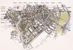
University of Pennsylvania 3D campus map
Aerial perspective of the UPenn campus. Shows street names but not building names. To view...
348 miles away

