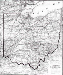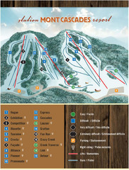
Mont Cascades Ski Trail Map
Trail map from Mont Cascades, which provides downhill skiing. This ski area has its own website.
249 miles away

Rideau Hall Tour Bus Lay-By Map
250 miles away

Rideau Hall Tour Bus Parking Map
250 miles away
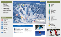
Edelweiss Valley Ski Trail Map
Trail map from Edelweiss Valley, which provides downhill skiing. This ski area has its own website.
251 miles away
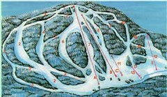
McCauley Mountain Ski Trail Map
Trail map from McCauley Mountain.
251 miles away
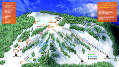
Treetops Sylvan Resort Ski Trail Map
Trail map from Treetops Sylvan Resort.
252 miles away
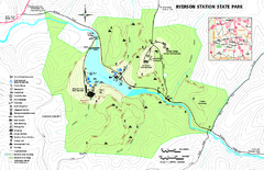
Ryerson Station State Park map
Detailed recreation map of Ryerson Station State Park in Pennsylvania
252 miles away
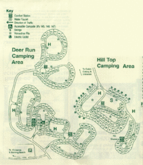
Gilbert Lake State Park Camping Map
253 miles away
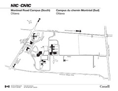
National Research Council Map
Montreal Road Campus visitor map, also in French. Provides location of campus buildings and roads.
253 miles away
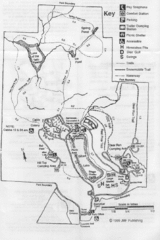
Gilbert Lake State Park Map
253 miles away
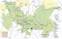
Ohiopyle State Park map
Detailed recreation map for Ohiopyle State Park in Pennsylvania.
254 miles away

Boyd Big Tree Preserve Conservation Area map
Detailed map of Boyd Big Tree Preserve Conservation Area in Pennsylvania.
254 miles away

Little Buffalo State Park map
Detailed map of Little Buffalo State Park in Pennsylvania.
255 miles away
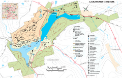
Lackawanna State Park Map
Detailed map of Lackawanna State Park in Pennsylvania.
256 miles away
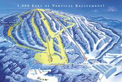
Elk Mountain Ski Trail Map
Trail map from Elk Mountain.
256 miles away
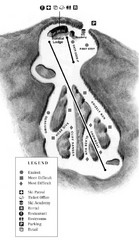
Mystic Mountain at Nemacolin Woodlands Resort Ski...
Trail map from Mystic Mountain at Nemacolin Woodlands Resort.
257 miles away
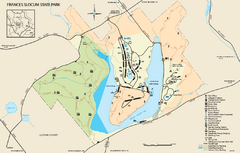
Frances Slocum State Park map
Detailed map of Frances Slocum State Park in Pennsylvania.
257 miles away
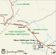
Fort Necessity National Battlefield Official Map
Official NPS map of Fort Necessity National Battlefield in Pennsylvania. The park is open daily...
257 miles away
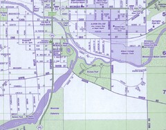
Albion City Map
City map of Albion, Michigan
258 miles away
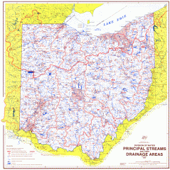
Ohio Watersheds Map
Principal Streams and their Drainage Areas. Based on map by C. E. Sherman, July 1925
258 miles away

Colonel Denning State Park map
Detailed map of Colonel Dening State Park in Pennsylvania
259 miles away
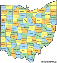
Ohio Counties Map
262 miles away
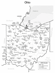
Ohio Airports Map
262 miles away
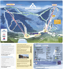
Mont Ste-Marie Ski Trail Map
Trail map from Mont Ste-Marie, which provides downhill skiing. This ski area has its own website.
262 miles away
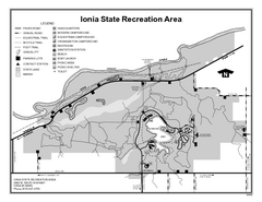
Ionia State Recreation Area, Michigan Site Map
263 miles away
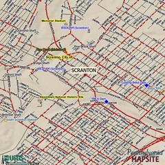
Scranton, Pennsylvania City Map
263 miles away
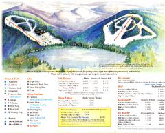
Mount Tone Ski Trail Map
Trail map from Mount Tone.
264 miles away
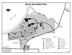
Burt Lake State Park, Michigan Site Map
264 miles away
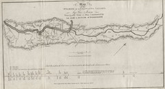
Wyoming and Lackawanna Valleys Map
Railbed from the coal mine at Carbondale to the canal on the Lackawaxen River. Historical map.
264 miles away
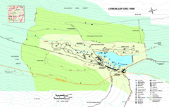
Cowans Gap State Park map
Detailed recreation map for Cowans Gap State Park in Pennsylvania
265 miles away
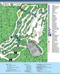
Sno Mountain Ski Trail Map
Official ski trail map of Sno Mountain ski area from the 2007-2008 season.
266 miles away
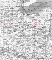
Ohio County Map
266 miles away
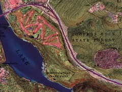
Coopers Rock State Forest Topo Map
Map shows parks and elevations
267 miles away
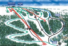
Eagle Rock Ski Trail Map
Official ski trail map of Eagle Rock Resort ski area from the 2007-2008 season.
267 miles away
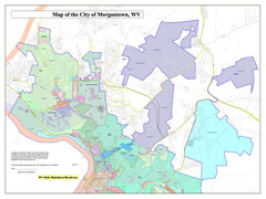
City of Morgantown, West Virginia Zoning Map
Zoning Map of the city of Morgantown, West Virginia. Includes all streets and color-coded zoning...
267 miles away
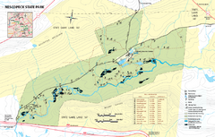
Nescopeck State Park map
Detailed recreation map of Nescopeck State Park in Pennsylvania.
267 miles away
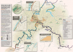
Rail Trails of North Central West Virginia Map
Trail map of rail-trails of north-central West Virginia. Shows the Mon River Trail, Caperton Trail...
268 miles away
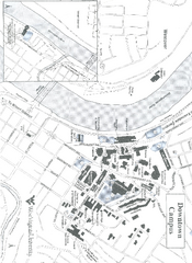
West Virginia University Map
Campus Map of West Virginia University. All buildings shown.
268 miles away
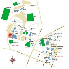
West Virginia University Campus Map
268 miles away

