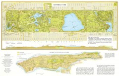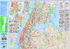
Topographical Atlas of the City of New York Map
Topographical Atlas of the City of New York including the annexed territory, showing original water...
3 miles away
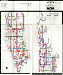
1974 Manhattan Bus Map
3 miles away
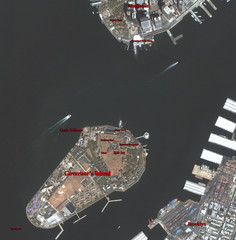
Governor's Island Map
Aerial photo view map of Governor's Island, New York
3 miles away
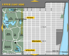
Upper East Side New York Hotel Map
3 miles away
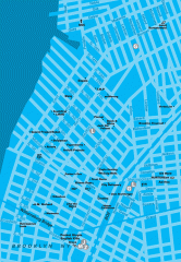
Williamsburg Art Gallery map
Map of Williamsburg and Greenpoint art galleries in Brooklyn, New York. Shows subway stops as well.
3 miles away

Floor Plan of the Museum of Natural History, New...
Official Floor Plan of the Museum of Natural History in New York. All areas and exhibits shown.
3 miles away
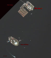
Ellis Island and Statue of Liberty Map
Aerial map of Ellis Island and the Statue of Liberty
4 miles away

The Metropolitan Museum of Art Floor Plan Map
Official Floor Plan for the Metropoltan Museum of Art in New York City. All areas and exhibits...
4 miles away

Upper West Side Map
printable map of Upper West Side, with major landmarks noted
4 miles away
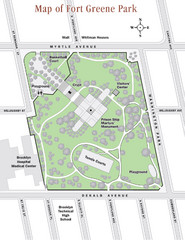
Fort Greene Park Map
Overview map of Fort Greene Park. Shows the park's historic structures and recreational...
4 miles away
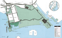
Liberty State Park Map
Map of Liberty State Park, New Jersey on the New York Harbor and next to Ellis Island. Shows...
4 miles away
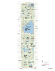
Central Park Fitness Map
Guide to fitness and training in Central Park, New York
4 miles away

Upper West Side NYC Map 1879
Likely the first printed map of Manhattan's Upper West Side. Map is titled 'The West End...
4 miles away
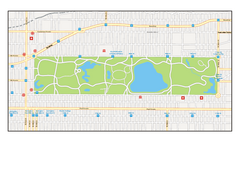
Central Park, New York Map
Central Park, New York map. A very detailed map with all roads, metro station and importand...
4 miles away
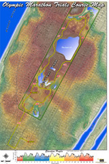
Olympic Trials Course Map
Elevation of the 2008 olympic trials marathon course in New York's Central Park.
4 miles away

Manhattan Bus Map
4 miles away
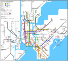
New York Subway Map
The subway and nearby railways in New York City
4 miles away
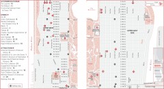
Uptown Manhattan, New York Map
Tourist map of uptown Manhattan in New York City, New York. Attractions, accommodations, and...
4 miles away
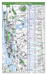
Green Markets in NYC Map
A map of all the green markets in the 5 boroughs of New York City.
4 miles away
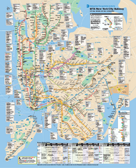
New York City MTA Subway Map
Official subway map for New York City
4 miles away
Riverside Park Map
Map of Riverside Park, New York. Illustrates all recreational activities, trails, bus stops and...
4 miles away
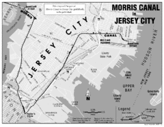
Jersey City Map
4 miles away
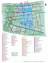
Clinton Hill Neighborhood map
Business and transportation map of the Clinton Hill neighborhood in Brooklyn, New York.
4 miles away
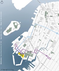
IKEA Brooklyn Map
Location map and map of bus routes and access streets to IKEA in Brooklyn, NY.
5 miles away
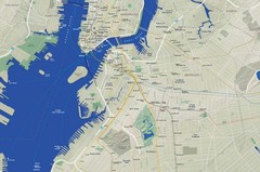
Brooklyn Map
5 miles away
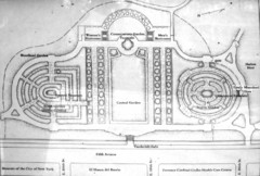
Central Park Conservatory Garden Map
Map of the Conservatory Garden in Central Park, New York City. Photo of outdoor map.
5 miles away
Upper Riverside Park Map
Riverside Park Map, Visitor Information as well as streets, bus routes, places to jog and bike.
5 miles away
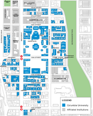
Columbia University Map
Campus map of Columbia University. All buildings shown.
5 miles away

Manhattan Waterfront Greenway Bike Map
Bike map of the Manhattan Waterfront Greenway. Shows walking and biking paths, ferry landings and...
6 miles away
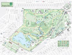
Prospect Park Map
Overview map of Prospect Park, a 585-acre city park located in the heart of Brooklyn. Designed by...
6 miles away

NYC Biking Route Map (Part of Queens, Brookyln...
Official biking route map of part of Queens, Brookyln and Staten Island
6 miles away
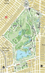
Prospect Park Map
6 miles away
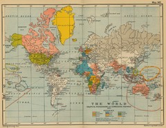
Colonial Posessions and Commercial Highways 1910...
Historical world map (1910) of various colonization and highway expansion
6 miles away

Broadway Elevation Map
Illustrative section of Broadway, from 125th Street to 134th Street, looking east
6 miles away
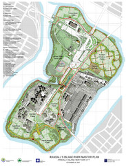
Randall's Island Park Map
Master plan for Randall's Island Park
6 miles away
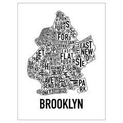
Brooklyn Neighborhood Art Map
Artistic neighborhood map of Brooklyn
6 miles away
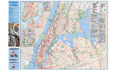
NYC Biking Route Map (Manhattan & Queens)
Official NYC biking map of Manhattan and Queens.
6 miles away
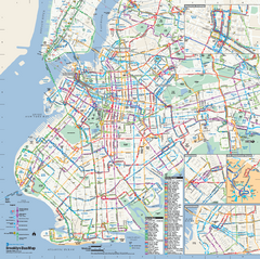
Brooklyn, New York Bus Map
Official MTA Bus Map of Brooklyn, New York. Shows all routes.
7 miles away

