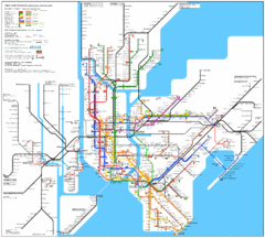
New York City Subway Map
2 miles away
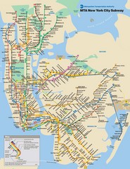
New York City Public Transportation Map
2 miles away
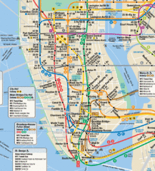
New York City Subway Map
2 miles away
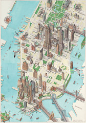
Manhattan New York Map
Aerial map of New York illustrated by UK illustrator Katherine Baxter.
2 miles away
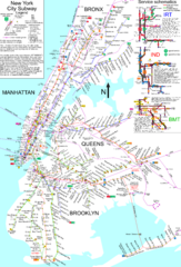
NYC Subway Map (unofficial)
Unofficial subway map of New York City. Created by SPUI.
2 miles away
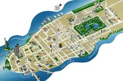
Manhattan Tourist Map
Simplified tourist map of Manhattan. Shows major NYC landmarks.
2 miles away
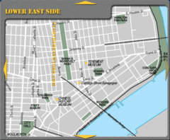
Lower Eastside New York City Tourist Map
2 miles away
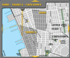
Chinatown New York City Tourist Map
2 miles away
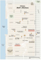
Hells Kitchen tourist map
Detailed tourist map of the Hells Kitchen neighborhood of Manhattan, New York
2 miles away
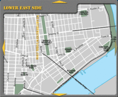
Lower Eastside New York City Hotel Map
2 miles away
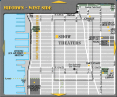
Midtown West Side New York City Map
2 miles away
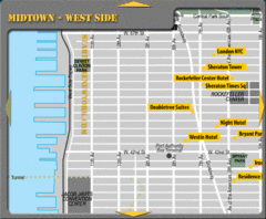
Midtown West Side New York City Hotel Map
2 miles away
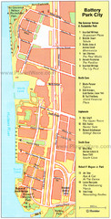
Battery Park City Map
City map of Battery Park City, an area of Manhattan, with art highlighted
2 miles away
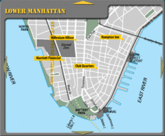
Lower Manhattan New York City Hotel Map
2 miles away
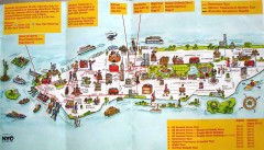
Manhattan Citysites Tour map
Map of the Citysites bus tour routes in Manhattan, New York.
2 miles away
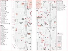
Midtown Manhattan, New York Map
Tourist map of midtown Manhattan in New York City, New York. Shows accommodations, restaurants, and...
2 miles away
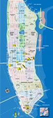
Manhattan Tourist Map
Tourist map of Manhattan, showing Museums, buildings of interest, and various neighborhoods.
2 miles away
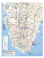
Lower Manhattan Public Transportation Map
Official MTA map of subway, bus, and ferry routes in Lower Manhattan.
2 miles away
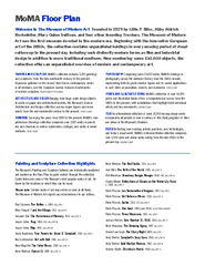
Floor Map of the Museum of Modern Art, New York
Official Floor Map of the MOMA in New York, NY. All floors and exhibits shown.
2 miles away

Downtown Manhattan Tourist Map
Detailed tourist map of Downtown Manhattan showing points of interest and modes of transportation
2 miles away
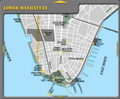
Lowe Manhattan New York City Tourist Map
2 miles away
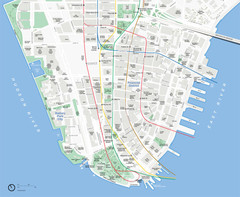
Lower Manhattan Map
2 miles away
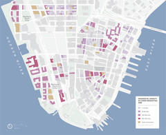
Lower Manhattan Map
2 miles away
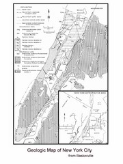
New York City Geological Map
Bedrock map of New York City
2 miles away
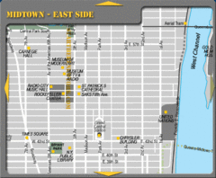
Midtown East Side New York City Map
2 miles away

Midtown East Side New York City Hotel Map
2 miles away
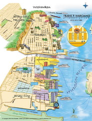
Jersey City, New Jersey City Map
Sketch of Jersey City and Hoboken, New Jersey
2 miles away
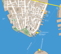
Lower Manhattan Area Map
3 miles away
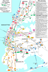
New York City Subway Map
Map of NYC subway transit system and stops
3 miles away
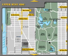
Upper West Side New York Hotel Map
3 miles away
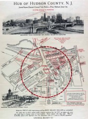
Antique map of Jersey City from 1925
Antique map of Jersey City, New Jersey from 1925.
3 miles away

Central Park, New York City Bike Map
3 miles away
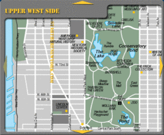
Upper West Side New York Tourist Map
3 miles away
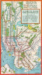
New York Subway Map, 1930
A New York City subway map from the 1930s
3 miles away
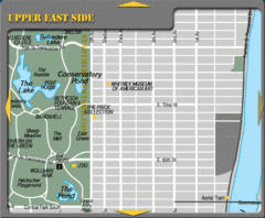
Upper East Side New York Tourist Map
3 miles away
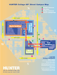
Hunter College Campus Map
Hunter College Campus Map. Located in New York City. Shows all areas.
3 miles away
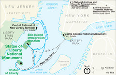
Statue of Liberty National Monument Map
Official NPS map of Statue of Liberty National Monument. Shows Statue of Liberty, Ellis Island, and...
3 miles away
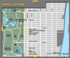
Maison Ave New York City Shopping Map
3 miles away
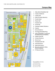
Rockefeller University Campus Map
Campus map of Rockefeller University in New York City.
3 miles away
1904 New York City Subway Map
The New York City Subway Map in 1904
3 miles away

