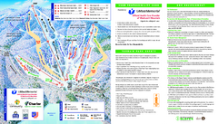
Wachusett Mountain Ski Trail Map
Trail map from Wachusett Mountain.
164 miles away
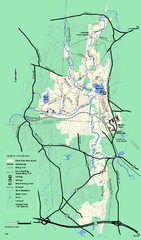
Otter River State Forest winter trail map
Winter usage trail map for Otter River State Park in Massachusetts.
164 miles away
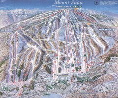
Mount Snow Trail Map 2001
Ski trail map of Mount Snow ski area, estimated 2001
164 miles away
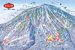
Stratton Mountain Resort Ski Trail Map
Trail map from Stratton Mountain Resort.
164 miles away
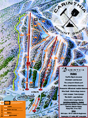
Mount Snow Carinthia Terrain Park Ski Trail Map
Trail map from Mount Snow.
164 miles away
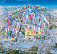
Mount Snow Ski Trail Map - main face
Trail map of main face of Mt Snow ski area near Wilmington, Vermont
164 miles away
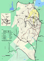
Wachusett Mountain State Reservation trail map
Trail map of Wachusett Mountain State Reservation in Massachusetts.
164 miles away
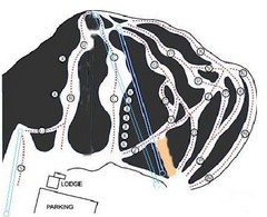
Royal Mountain Ski Trail Map
Trail map from Royal Mountain.
164 miles away
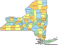
New York Counties Map
165 miles away
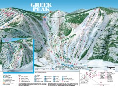
Greek Peak Ski Trail Map
Official ski trail map of Greek Peak ski area from the 2006-2007 season.
165 miles away

Greek Peak Ski Resort Ski Trail Map
Trail map from Greek Peak Ski Resort.
165 miles away
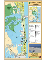
Fenwick Island State Park Map
Great state park map with clear key.
165 miles away
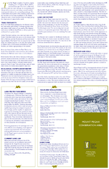
Mt. Pisgah Map - Northboro, Berlin, Boylston Mass
165 miles away

Boyd Big Tree Preserve Conservation Area map
Detailed map of Boyd Big Tree Preserve Conservation Area in Pennsylvania.
166 miles away
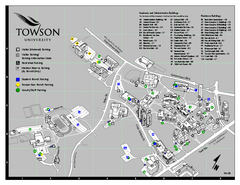
Towson University Map
Towson University Campus Map. All areas shown.
166 miles away
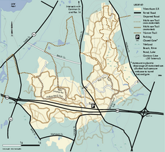
Wrentham State Forest trail map
Trail map of Wrentham State Forest in Massachusetts.
166 miles away
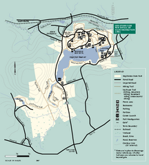
Hopkinton State Park trail map
Trail map of Hopkinton State Park in Massachusetts
166 miles away
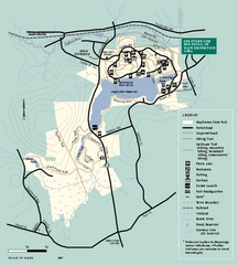
Hopkinton State Park trail map
Trail map of Hopkinton State Park in Massachusetts
166 miles away
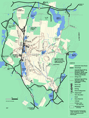
Leominster State Forest trail map
Trail map of Leominster State Forest in Massachusetts
166 miles away
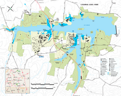
Codorus State State Park map
Detailed recreation map for Codorus State Park in Pennsylvania
166 miles away
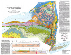
New York State Geologic Map
1:1,000,000 scale geological map of New York State
166 miles away

R. B. Winter State Park map
Recreation map for R. B. Winter State Park in Pennsylvania
167 miles away
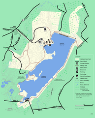
Ashland State Park Map
Clear map and legend marking trails, parking, facilities and more.
168 miles away
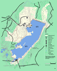
Ashland State Park Map
Map of Ashland State Park in Massachusetts.
168 miles away
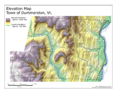
Elevation Map of Dummerston, Vermont
This Hypsometric map is a map that distinguishes elevations progression within a specific...
168 miles away

Little Buffalo State Park map
Detailed map of Little Buffalo State Park in Pennsylvania.
168 miles away
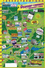
Seaford Delaware Cartoon Map
168 miles away
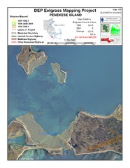
Penekese Island Eelgrass Map
168 miles away
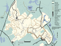
F. Gilbert Hills State Forest trail map
F. Gilbert Hills State Forest trail map in Massachusetts.
168 miles away
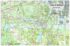
Ashland, MA - Topo Map
Map is provided by the town of Ashland, MA. See town's website for additional maps and...
168 miles away
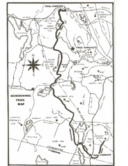
Monoosnoc Trail Map
169 miles away
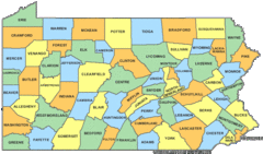
Pennsylvania Counties Map
170 miles away
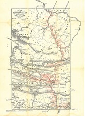
Lehigh Valley Railroad Historical Map
Built in 1846, this railroad was built primarily to haul coal. It was also known as the Route of...
170 miles away
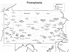
Pennsylvania Airports Map
170 miles away
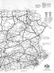
Eastern Pennsylvania Road Map
170 miles away
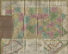
Pennsylvania Tourist Pocket Map
The map is dated 1820-31 by counties shown and comes from Anthony Finley's A New General Atlas...
170 miles away
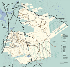
Freetown-Fall River State Forest trail map
Trail map of Freetown-Fall River State Forest in Massachusetts
170 miles away
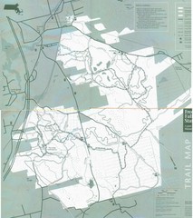
Freetown State Forest Map
Freetown State Forest Map showing mountain biking trails
170 miles away
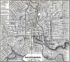
Antique Map of Baltimore from 1869
Antique map of Baltimore Maryland from Appletons' Hand-Book of American Travel. Published in...
170 miles away
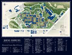
The Johns Hopkins University Map
The Johns Hopkins University Campus Map. All buildings shown.
170 miles away

