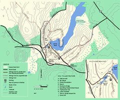
Moore State Park trail map
Trail map of Moore State Park in Massachusetts.
152 miles away

1978 Bradford County, Pennsylvania Map
152 miles away
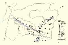
Purgatory Chasm State Reservation trail map
Trail map of Purgatory Chasm State Reservation in Massachusetts.
153 miles away
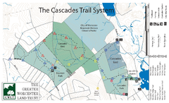
Cascades Park Map
154 miles away
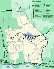
Erving Summer trail map
Summer use map of Erving State Park in Massachusetts.
154 miles away
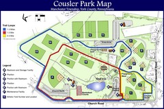
Cousler Park Map
155 miles away
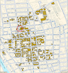
Providence, Rhode Island City Map
155 miles away
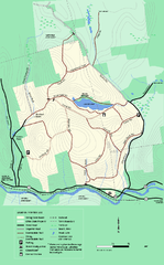
Erving State Park winter use map
Winter use map of the Erving State Park in Massachusetts
155 miles away
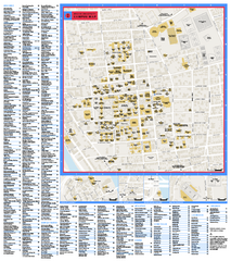
Brown University Campus Map
Official campus map of Brown University.
155 miles away
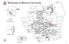
Brown University Map
155 miles away
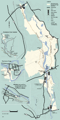
Blackstone Trail Map
Map of Blackstone River State Park in Massachusetts.
156 miles away
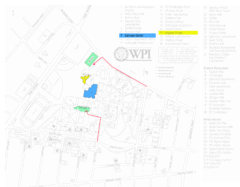
Worcester Polytechnic Institute Campus Map
Map of Worcester Polytechnic Institute. Includes all buildings, parking, streets, and location of...
156 miles away
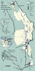
Heritage State Park Map
Clear state park map marking trails and facilities.
156 miles away
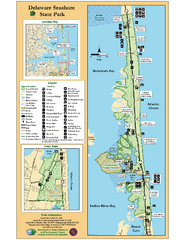
Deleware Seashore State Park Map
Park with perfect views and hiking routes.
156 miles away
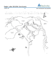
Eagle Lake Conservation Area Map
157 miles away
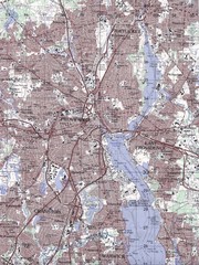
Providence Topo Map
Topo map of Providence, East Providence, Cranston, and Pawtucket, RI. Original scale 1:50,000
157 miles away
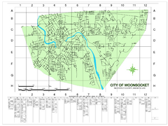
Woonsocket Street Map
Street map of Woonsocket, Rhode Island. Shows street legend.
157 miles away
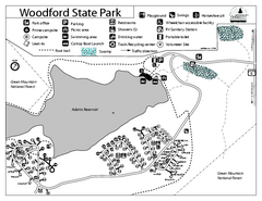
Woodford State Park Campground Map
Campground map for Woodford State Park in Vermont
157 miles away

Mt. Pisgah State Park map
Detailed recreation map for Mt Pisgah State Park in Pennsylvania
157 miles away
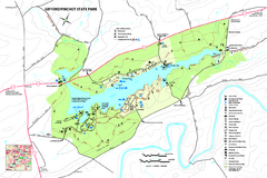
Gifford Pinchot State Park Map
Detailed map of Gifford Pinchot State Park in Pennsylvania.
158 miles away
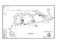
Molly Stark State Park Campground Map
Campground map for Molly State State Park in Vermont
159 miles away
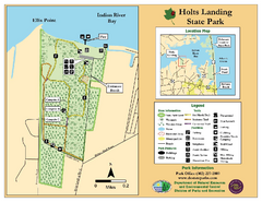
Hots Landing State Park Map
Clear map and legend.
159 miles away
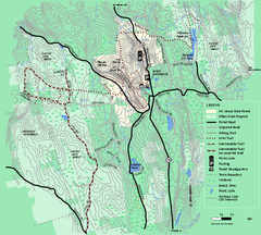
Mt. Grace State Forest trail map
Trail map of Mt. Grace State Forest near Warwick, Massachusetts.
159 miles away
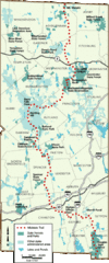
Midstate Trail Map
Map of the Midstate Trail, which runs from Ashburnham to the Rhode Island border. Shows state...
159 miles away
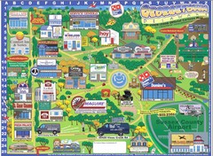
Georgetown Delaware Cartoon Map
160 miles away
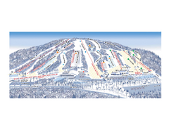
Ski Roundtop Ski Trail Map
Trail map from Ski Roundtop.
160 miles away
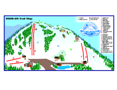
Willard Mountain Ski Area Ski Trail Map
Trail map from Willard Mountain Ski Area.
160 miles away
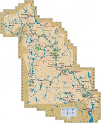
Blackstone Valley tourist map
Tourist map of the Blackston Valley in Rhode Island and Massachusetts. Shows hiking, biking, and...
160 miles away
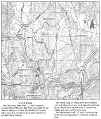
Trout Brook Conservation Area Map
160 miles away
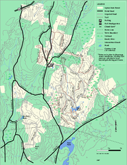
Upton State Forest trail map
Trail map for Upton State Forest in Massachusetts.
161 miles away
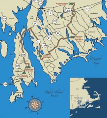
Southeastern New England Wine Trail Map
Map of the Southeastern New England Wine Trail, showing all vineyards and wineries that are members...
161 miles away
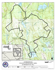
Hubbardston WMA Map
161 miles away
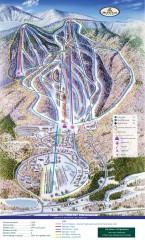
Haystack Club Ski Trail map
Official ski trail map of Haystack ski area from the 2006-2007 season.
161 miles away
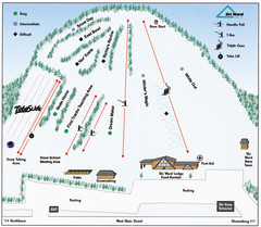
Ski Ward Ski Trail Map
Trail map from Ski Ward.
162 miles away
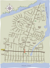
Bethany Beach Tourist Map
162 miles away
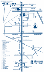
South Pennsylvania Restaurant Map
162 miles away
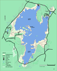
Whitehall State Park trail map
Trail map of Whitehall State Park in Massachusetts.
163 miles away
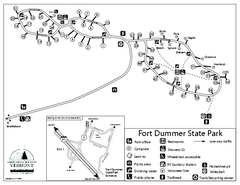
Fort Dummer State Park Campground Map
Campground map of Fort Dummer State Park in Vermont
163 miles away
Shaftsbury State Park Map
Campground map of Shaftsbury State Park in Vermont.
163 miles away
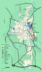
Otter River State Forest summer trail map
Summer trail map of the Otter River State Forest area in Massachusetts.
163 miles away

