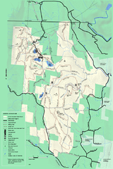
Savoy Mountail trail map
Trail map for Savoy Mountain in Massachusetts.
141 miles away
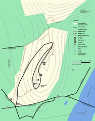
Mt. Sugarloaf State Reservation trail map
Trail map of Mount Sugarloaf State Reservation
141 miles away
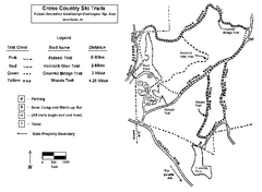
Pulaski State Park Map
141 miles away
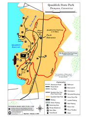
Quaddick State Park Trail Map
142 miles away
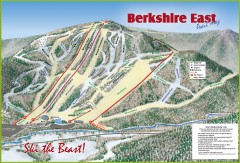
Berkshire East Ski Trail Map
Official ski trail map of Berkshire East ski area from the 2007-2008 season.
142 miles away
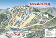
Berkshire East Ski Area Ski Trail Map
Trail map from Berkshire East Ski Area.
142 miles away
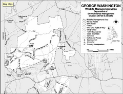
George Washington Wildlife Management Area Map
143 miles away
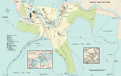
Worlds End State Park map
Detailed recreation map for Worlds End State Park in Pennsylvania
143 miles away
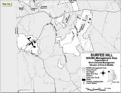
Durfee Hill Wildlife Management Area Map
143 miles away
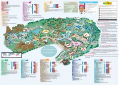
Hershey Park Official Map
Official 2007 map of the Hershey Theme Park in Hershey, PA
143 miles away
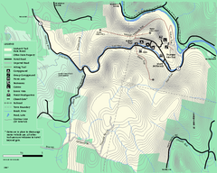
Mohawk Trail State Forest map
Map of the Mohawk Trail State Forest in Charlemont, Massachusetts.
143 miles away
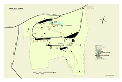
Samuel S. Lewis State Park map
Recreation map for Samuel Lewis State Park in Pennsylvania
143 miles away
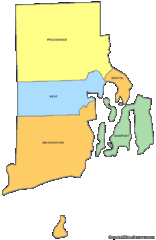
Rhode Island Counties Map
144 miles away
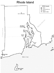
Rhode Island Airports Map
144 miles away
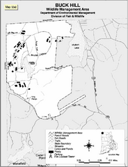
Buck Hill Wildlife Management Area Map
144 miles away
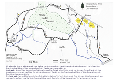
Sprague Farm - Glocester Land Trust Map
144 miles away
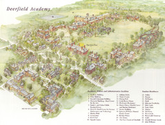
Deerfield Academy Campus Map
Shows buildings and facilities of Deerfield Academy. Scanned.
144 miles away

Mine Brook Wildlife Management Area Map
145 miles away
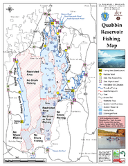
Quabbin Reservoir Fishing Map
Fishing access map of Quabbin Reservoir. Shows all ponds and submerged ponds.
145 miles away
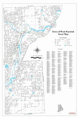
West Warwick Town Map
Street map of W. Warwick
145 miles away
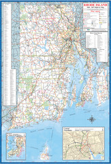
Rhode Island Road Map
Official Rhode Island state highway map. Insets show Newport and Providence.
146 miles away
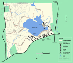
Clarksburg State Park trail map
Trail map of Clarksburg State Park in Massachusetts.
146 miles away
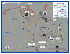
Killens Pond State Park Map
Map of Delaware State Park.
146 miles away
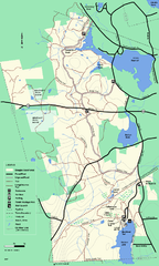
Douglas State Forest trail map
Trail map of the Douglas State Forest in Massachusetts
147 miles away
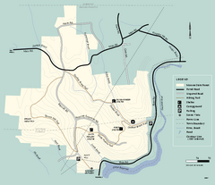
Monroe State Forest trail map
Trail map of Monroe State Forest in Massachusetts.
147 miles away
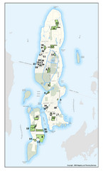
Conanicut Island Land Trust Map
Shows 430 acres of property on Conanicut Island, RI stewarded by the Conanicut Island Land Trust
147 miles away
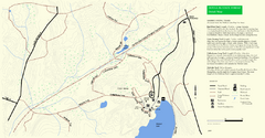
Douglas State Park Detail Map
147 miles away
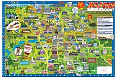
Milford Delaware Cartoon Map
148 miles away
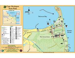
Cape Henlopen State Park Map
Beautiful park with delightful recreational activities.
148 miles away
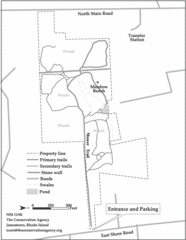
Parker Farm Trail Map
149 miles away
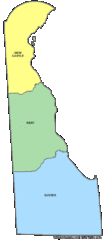
Delaware Counties Map
150 miles away
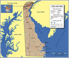
Delaware Tourist Map
150 miles away
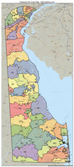
Delaware Zip Code Map
Check out this Zip code map and every other state and county zip code map zipcodeguy.com.
150 miles away
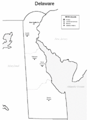
Delaware Airports Map
150 miles away

Milton State Park map
Detailed recreation map of Milton State Park in Pennsylvania
150 miles away
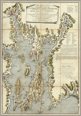
Narrangansett Bay Map 1777
"A Topographical CHART of the BAY of NARRAGANSET in the Province of NEW ENGLAND. with the...
150 miles away
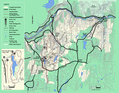
Wendell State Forest trail map
Trail map of Wendell State Forest in Massachusetts.
150 miles away
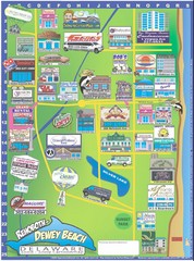
Rehoboth Beach Delaware Cartoon Map
151 miles away
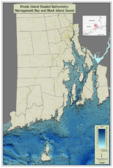
Rhode Island Shaded Bathymetry Map
Bathymetric map of Rhode Island with Narrangansett Bay and Rhode Island Sound. Graduated...
151 miles away

