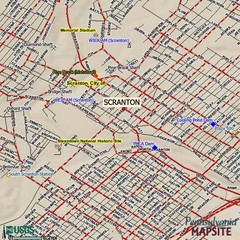
Scranton, Pennsylvania City Map
98 miles away
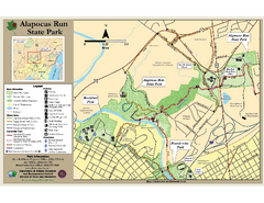
Alapocas Run State Park Map
Detailed map and clear legend for this nice state park.
98 miles away
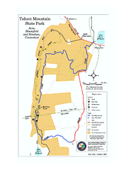
Talcott Mountain State Park map
Trail map of Talcott Mountain State Park in Connecticut.
98 miles away
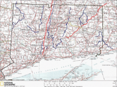
Connecticut Long Distance Trails Map
A map of long distance trails throughout Connecticut. Go to the website below for detailed trail...
98 miles away
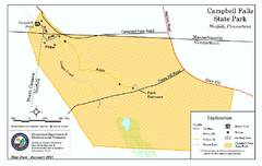
Cambell Falls State Park map
Trail map of Campbell Falls State Park Reserve in Connecticut
99 miles away
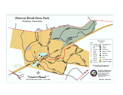
Stratton Brook State Park map
Trail map of Stratton Brook State Park in Connecticut.
99 miles away

Wadsworth Athenium Museum Location Map
Wadsworth Athenium visitor location map with locations of major buildings, streets, parks, and...
99 miles away
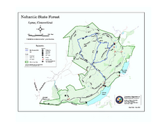
Nehantic State Forest map
Trail map of Nehantic State Forest in Connecticut.
99 miles away
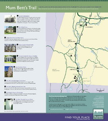
Mum Bett's Trail Map
Historic African American trail guide
99 miles away
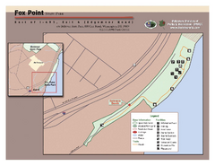
Fox Point State Park Map
Clear and simple state park map.
100 miles away
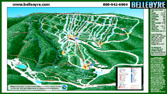
Belleayre Mountain Ski Trail Map
Trail map from Belleayre Mountain.
100 miles away
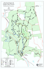
American Legion State Forest trail map
Trail map of American Legion and Peoples State Forests in Connecticut.
100 miles away
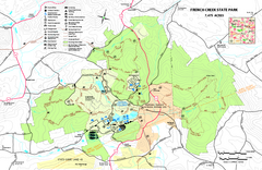
French Creek State Park map
Detailed recreation map for French Creek State Park in Pennsylvania
100 miles away
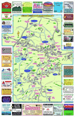
Columbia County - Boston Corners, Copake, Copake...
Tourist map of Columbia County, Mass. Includes towns of Boston Corners, Copake, Copake Falls...
100 miles away

Salmon River State Forest trail map
Trail map for Salmon River State Forest in Connecticut.
100 miles away
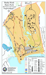
Rocky Neck State Park trail map
Trail map of Rocky Neck State Park in Connecticut.
100 miles away
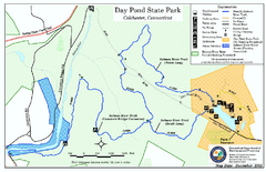
Daypond State Park map
Trail map for Day Pond State Park
100 miles away
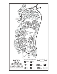
Rocky Neck State Park campground map
Campground map of Rocky Neck State Park in Connecticut.
100 miles away

Hunter Mountain Trail Map
Ski trail map
100 miles away
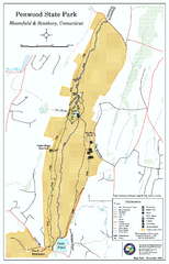
Penwood State Park map
Trail map of Penwood State Park in Connecticut.
100 miles away
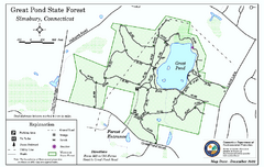
Great Pond State Park trail map
Trail map of Great Pond State Forest in Connecticut.
101 miles away
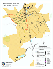
Devils Hophard State Park map
Trail and camprground map for Devils Hopyard State Park in Connecticut.
101 miles away
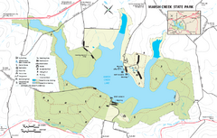
Marsh Creek State Park map
Detailed map of Marsh Creek State Park in Pennsylvania.
102 miles away
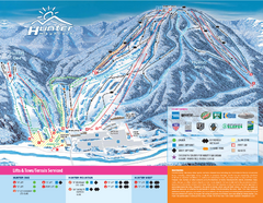
Hunter Mountain Ski Bowl Ski Trail Map
Trail map from Hunter Mountain Ski Bowl.
102 miles away
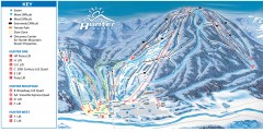
Hunter Mountain ski trail map
Official ski trail map of Hunter Mountain ski area from the 2006-2007 season.
102 miles away
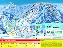
Hunter Mountain Trail Map
102 miles away
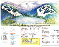
Mount Tone Ski Trail Map
Trail map from Mount Tone.
102 miles away

Eastern Long Island Placemat map
Photo of a placemat map from Gosman's Dock Restaurant in Montauk, NY. Shows eastern Long...
102 miles away
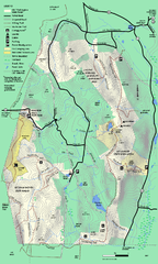
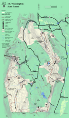
Mt. Washington State Forest trail map
Trail map of Mt. Washington State Forest
102 miles away
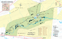
Nescopeck State Park map
Detailed recreation map of Nescopeck State Park in Pennsylvania.
102 miles away
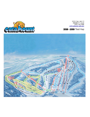
Catamount Ski Area Ski Trail Map
Trail map from Catamount Ski Area.
102 miles away
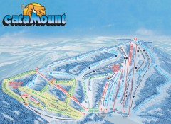
Catamount Ski Trail Map
Official ski trail map of Catamount ski area from the 2006-2007 season.
102 miles away
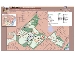
Bellevue State Park Map
Beautiful park with easy to read details.
103 miles away
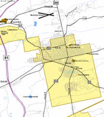
Hazelton Street Map
Clear and descriptive road map.
104 miles away
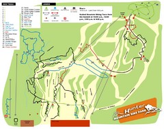
Hunter Mountain Bike Park Map
Map of bike trails in park
104 miles away
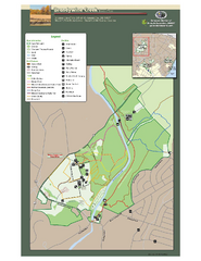
Brandywine Creek State Park Map
Easy to read map and legend of this beautiful state park.
105 miles away
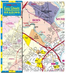
Reading, Pennsylvania City Map
105 miles away
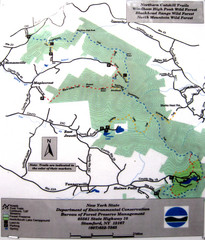
Northern Catskill Trail Map
Trail map shows hiking trails in the northern Catskills of New York. Shows trails in Windham High...
105 miles away
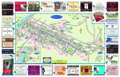
Hudson Tourist Map
Tourist map of Hudson, New York showing all tourist points of interest. Ads around border.
105 miles away

