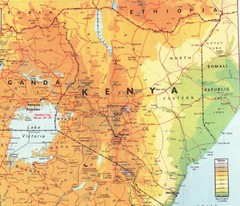
Kenya Map
Physical map of Kenya. Shading based on elevation.
3235 miles away
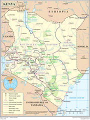
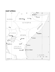
Kenya Overview Map
Overview map of Kenya. Shows major cities, roads, and national parks.
3235 miles away
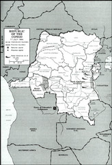
Republic of the Congo 1964 Military Map
Map of the military situation with a hostage crisis in 17 July 1964. Map shows rebel forces and...
3238 miles away
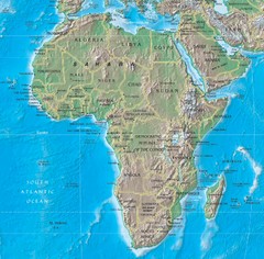
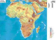
Physical Africa Map
3238 miles away

St Helena Map
3271 miles away
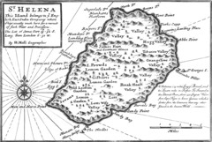
St. Helena 1732 Map
3272 miles away

St. Helena Topography Map
3272 miles away
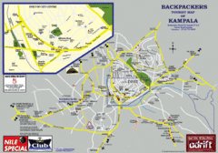
Kampala Tourist Map
Tourist map of Kampala
3275 miles away
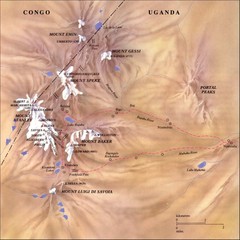
Rwenzori National Park Mt. Stanley Map
3297 miles away
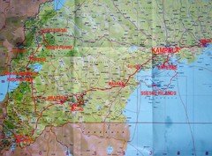
Uganda Tourist Map
3316 miles away
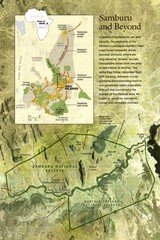
Samburu Elaphant population Map
3317 miles away
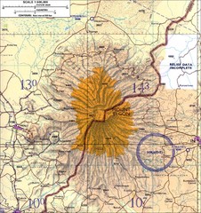
Mount Elgon topo. Map
3325 miles away
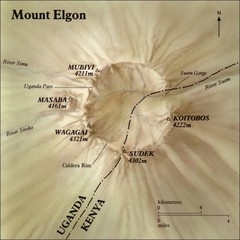
Mount Elgon shaded relief Map
3327 miles away
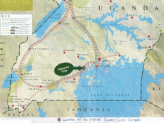
Uganda Tourist Map
Map of Uganda shows Trails and the proposed location of Equator City.
3348 miles away
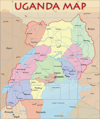
Uganda Political Map
Political map of Uganda. Shows regions, cities, and water features.
3348 miles away
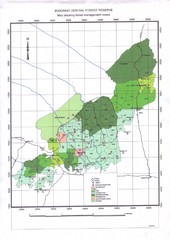
Budongo Forest Map
Budongo Forest Map Shows color-coded forest management zones.
3390 miles away
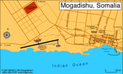
Mogadishu, Somalia Tourist Map
3410 miles away
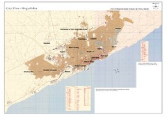
Mogadishu, Somalia Tourist Map
3410 miles away
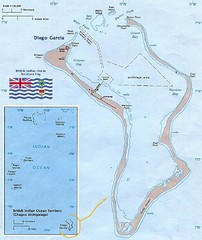
British Indian Ocean Territory Map
Guide to the atolls that comprise the British Indian Ocean Territory or the Chagos Islands
3415 miles away
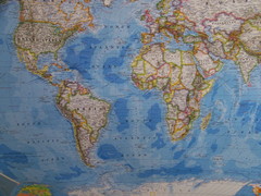
Southern Hemisphere World Map
3426 miles away
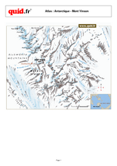
Mont Vinson Map
Map of Vinson Massif mountain range, the highest range in Antartica, 16,050 ft high. Located about...
3476 miles away
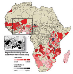
African distrust and the slave trade Map
3478 miles away
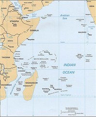
Indian Ocean Islands Map
Guide to the islands and atolls of the Indian Ocean
3478 miles away
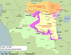
Congo Map
Cities, capitols, borders and more are clearly marked on this map.
3483 miles away
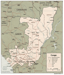
Congo 1986 Guide Map
3483 miles away
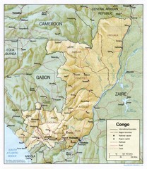
Congo Physical Relief Map
Physical relief map of the Republic of the Congo. Shows major roads and cities.
3483 miles away
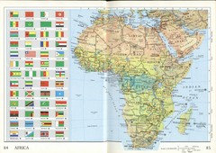
Africa Flag Map
Physical map of Africa with flag legend for all countries. Scanned.
3486 miles away
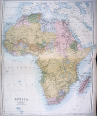
Africa Map 1885
Shows Africa with pre-colonial boundaries demarcated at the Berlin Conference of 1885.
3486 miles away
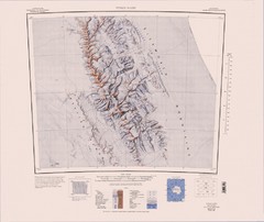
Vinson Massif Topo Map
Topo map of Vinson Massif, the highest mountain in Antarctica at 16067 ft / 4897 m. One of the...
3488 miles away
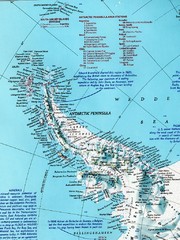
Antarctic Peninsula Map
Shows stations and named geographic features of the Antarctic Peninsula. Scanned.
3492 miles away
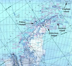
Antarctic Peninsula Map
Physical map of Antarctic Peninsula
3531 miles away
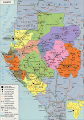
Gabon Regional Map
Guide to the regions of Gabon
3539 miles away
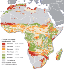
Projected climate change impacts for agriculture...
Africa is one of the regions that will be hit the hardest by climate change, and it will likely...
3540 miles away
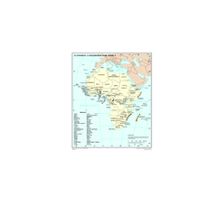
Economic Commission for Africa Map
Map of Economic Commission for Africa with detail of member-countries
3549 miles away
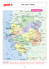
Gabon Regional Map
Map of Gabon with detail of regional divides
3551 miles away
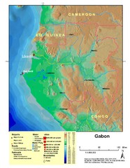
Gabon Shaded Relief Map
Shaded relief map of Gabon. Shows airports, railroads, roads, and cities.
3551 miles away

