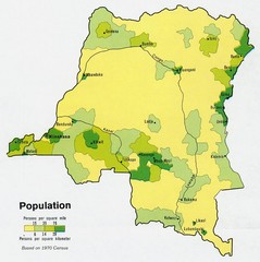
Zaire Population Map
This map clearly marks the distribution of Zaire's population.
3109 miles away
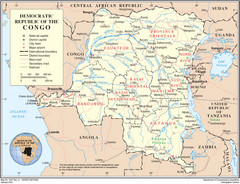
Democratic Republic of Congo Map
Overview map of the Democratic Republic of Congo (DRC).
3109 miles away
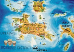
Ukerewe Island Lake Victoria Map
3111 miles away
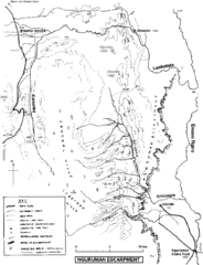
Nguruman Mountain Map
3118 miles away
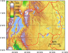
Rwanda Topography Map
3122 miles away
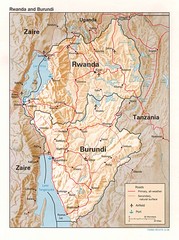
Rwanda Topographic Map
Guide to the African country of Rwanda
3123 miles away
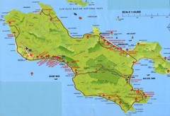
Grand Anse tourist Map
3128 miles away
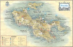
Praslin Island Map
Guide to the second largest island of the Seychelles
3128 miles away
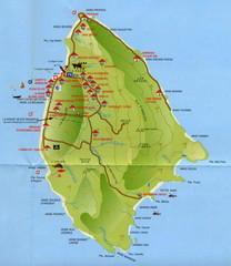
La Digue tourist Map
3128 miles away
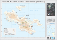
Vallee de Mai nature Reserve Map
3129 miles away
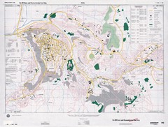
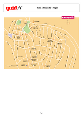
Kigali Road Map
3136 miles away
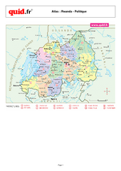
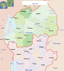
Rwanda Regional Map
Map of Rwanda with detail of regional divides
3139 miles away
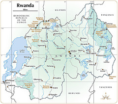
Rwanda Parks and Rainforest Map
3140 miles away
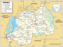
Rwanda Road Map
3145 miles away
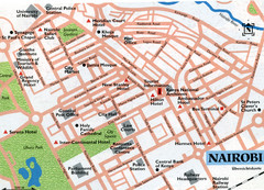
Nairobi City Map
Close up map marking roads and parks in downtown Nairobi.
3148 miles away
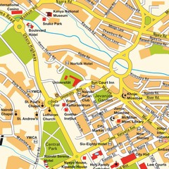
Niarobi City Map
3149 miles away
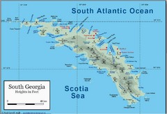
South Georgia and the South Sandwich Islands Map
Guide to the South Georgia and South Sandwich Islands, a British overseas territory and penguin...
3154 miles away
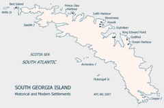
South Georgia Island Settlement Map
Shows historical and modern settlements on South Georgia Island
3157 miles away
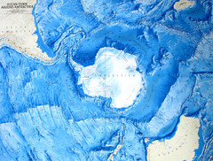
Ocean Floor Around Antarctica Map
Relief map of ocean floor around Antarctica
3159 miles away
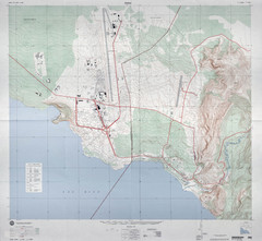
Goma Map
Goma, Democratic Republic of the Congo • original scale 1:7,500, Edition 3-DMA, Series Z091.
3162 miles away
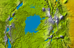
Lake Victoria topography Map
3163 miles away
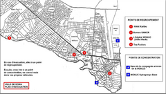
City of Goma Evacuation Plan, late 2007 Map
Map of Goma indicating evacuation points for Congolese government push against rebel groups (mostly...
3163 miles away
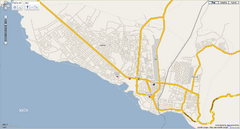
Goma, Congo street map
Street map of eastern Congo–Kinshasha city of Gome, near the Rwanda border. Produced by...
3164 miles away
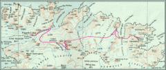
South Georgia Island Shackleton Route 1916 Map
Detailed view of South Georgia Island showing explorer Shackleton's 1916 overland route for...
3173 miles away
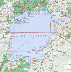
Lake Victoria 1968 Map
3180 miles away
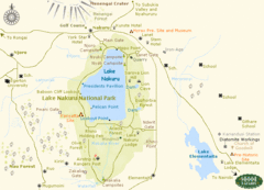
Lake Nukuru Map
Lake Nukuru and its surrounding areas provide for an amazing safari experience.
3209 miles away
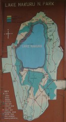
Lake Nakuru National Park Map
3214 miles away
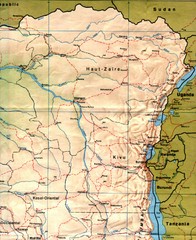
Zaire (Eastern Region) Map
Eastern Zaire (now Democratic Republic of the Congo)
3223 miles away
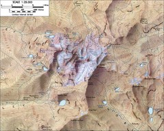
Mt. Kenya Topo Map
Topographical map of Mt. Kenya, the second highest mountain in Africa at 17058 ft
3226 miles away
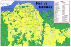
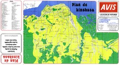
Kinshasa Overview Map
Overview map of Kinshasa, Democratic Republic of Congo shows major streets.
3228 miles away
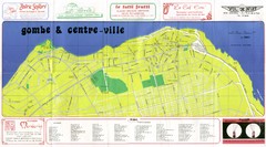
Kinshasa Gombe and Centreville Tourist Map
Tourist map of Gombe and Centreville in Kinshasa. Shows streets and points of interest. In French...
3231 miles away
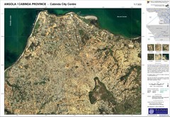
Cabinda City Map
Topo city map of central Cabinda, Angola. Shows points of interest.
3233 miles away
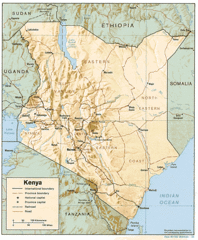
Kenya Tourist Map
3235 miles away
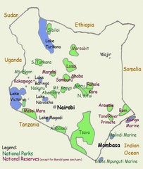
Kenya Tourist Map
3235 miles away

