Kafue National park north Map
2331 miles away
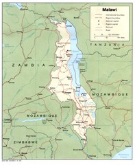
Malawi Map
Guide to Malawi, a country in Africa
2337 miles away
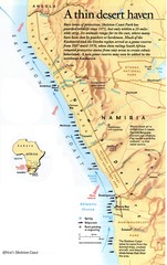
Skeleton Coast Map
2347 miles away
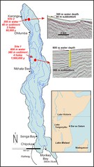
Lake Malawi Bathemetric Map
2355 miles away

Mfuwe Area South Luangwe National Park Map
2355 miles away
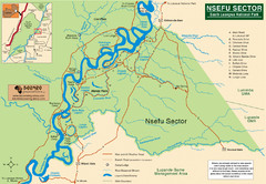
Nsfeu Sector South Luangwa National Park Map
2365 miles away

Rodrigues Island with Cap Soleil Agency Map
2367 miles away
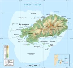
Rodrigues Island Topo Map
Island topographic map of Rodrigues Island. In French.
2367 miles away
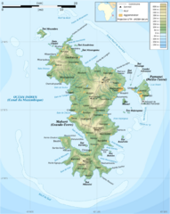
Mayotte Topographic Map
Guide to the island nation of Mayotte
2388 miles away
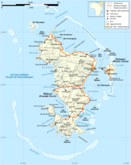
Mayotte Map
Guide to the country of Mayotte, an overseas collectivity of France
2389 miles away

Mayotte tourism Map
2393 miles away
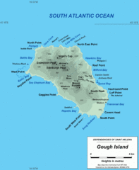
Gough Island Map
2394 miles away
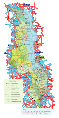
Malawi Overview Map
Overview of country of Malawi on Lake Malawi. Shows roads and rivers.
2395 miles away
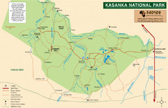
Kasanka National Park Map
2409 miles away

Comoros Islands Map
2417 miles away
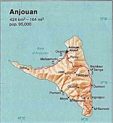
Anjouan Island topography Map
2423 miles away
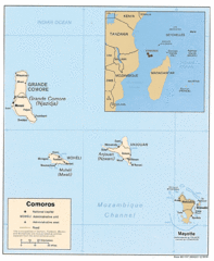
Mayotte Regional Map
Guide to the area around Mayotte
2425 miles away
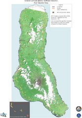
Grand Comore Island Volcanic Eruption Map
Karthala volcanic eruption post disaster map on Grand Comore Island, 8/12/2005
2452 miles away

Grand Comore Island Topography Map
2453 miles away
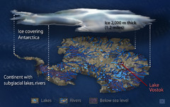
Antarctic Lakes and Rivers Map
Sub-glacial lakes, river systems.
2489 miles away
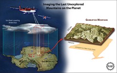
Gamburtsev Subglacial Mountains Map
First ever map of the last unexplored mountains on the planet, the Gamburtsev Subglacial Mountains...
2499 miles away
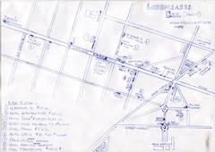
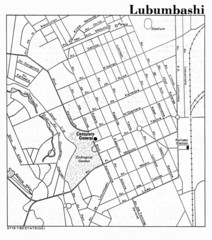
Hand Drawn Lubumbashi City Map
The City Center of Lubumbashi in the Democratic Republic of the Congo
2503 miles away

Lake Malawi Map
2510 miles away
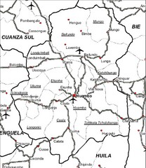
Huambo City Map
Simple road map marking streets and airports.
2560 miles away
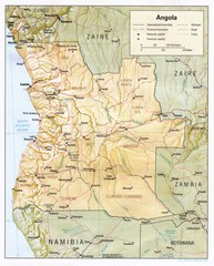
Angola Map
Guide to the country of Angola
2606 miles away

Early East and Central Africa Map - Slug Map
Sketch of a Map from 1 & deg;N. to 15 & deg;S. Latitude and from 23 & deg; to 43 &...
2615 miles away
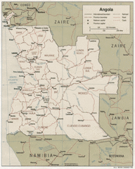
Angola Political Map
Guide to regions of the country of Angola
2627 miles away
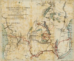
Forest Plateau of Africa Map
A historical Map of the Forest Plateau of Africa. Includes rivers, lakes, cities, and the route of...
2653 miles away
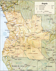
Angola relief Map
2661 miles away

Angola detailed Map
2665 miles away
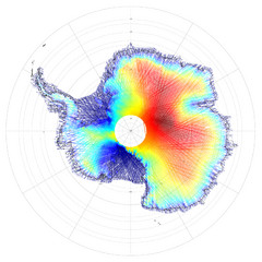
Antarctica Land and Ice Elevation Map
The colors on the map above represent ICESat’s measurements of Antarctica’s topography...
2676 miles away
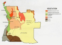
Angola vegetation Map
2678 miles away
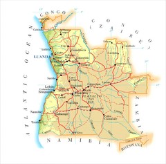
Angola Map
2690 miles away
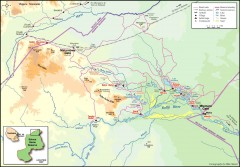
Seleous Game reserve, northern portion Map
Shows the northern part of the Seleous Game reserve in Tanzania around the Rufiji River and Beho...
2705 miles away
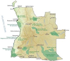
Angola National Parks Map
2710 miles away

