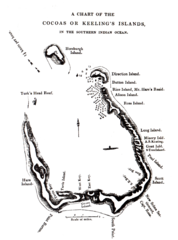
1840 Cocos (Keeling) Islands Map
1840 Guide to the Cocos (Keeling) Islands, a territory of Australia in the Indian Ocean
4164 miles away
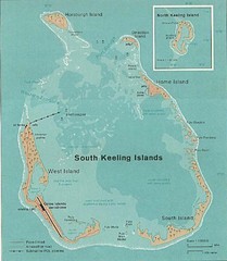
Cocos (Keeling) Islands Map
Guide to the Cocos (Keeling) Islands, a territory of Australia. They contain 2 atolls and 27 coral...
4164 miles away
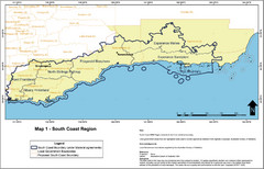
Australia South Coast Region Map
The South Coast region of Australia and proposed new boundaries by Natural Resources Management...
4187 miles away

Baa atoll Map
4194 miles away
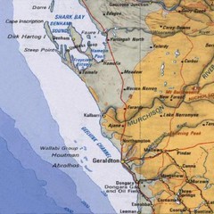
Geraldton, Australia Region Map
4208 miles away
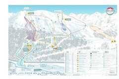
Cerro Castor Ski Trail Map
Trail map from Cerro Castor.
4210 miles away
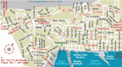
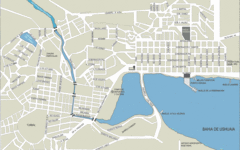
Ushuaia City Map
Streets and roads are labeled on map.
4210 miles away
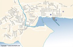
Ushuaia City Map
Street map of city
4212 miles away
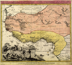
Erben’s Map of Western Africa (1743)
Homann Erben's map of the "Barbary Coast" of Western Africa in 1743.
4221 miles away
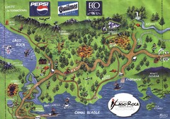
Tierra del Fuego National Park Camping Map
Map of campsites in Lago Roca area of park
4224 miles away

Bruce Rock Town Map
4232 miles away
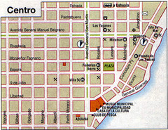
Rio Grande Centro Map
Street map of city center
4240 miles away

Sudan Darfur Province Map
Map of Sudan's Darfur province including high level of details for villages. Source(s...
4250 miles away
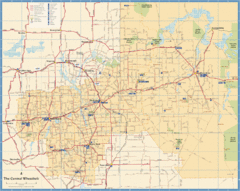
Wheatbelt Central Western Australia Map
Map of the central wheatbelt area near Merredin, Western Australia
4255 miles away
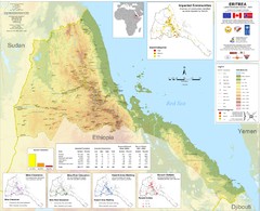
Eritrea Physical Map
4264 miles away
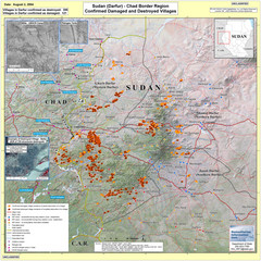
Villages Destroyed in Darfur, Sudan Map
Guide to villages destroyed as of August 2, 2004 in the Darfur region of Sudan
4264 miles away
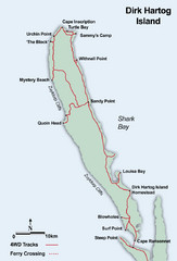
Dirk Hartog Island Map
4267 miles away

Western Australia State Barrier Fence Map
Map shows the Rabbit barrier fence built in 1901 in Burracoppin and Merredin just east of Perth.
4268 miles away
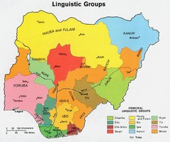
Nigeria Linguistic groups 1979 Map
4280 miles away
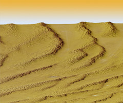
Digital Elevation Model Ataq, Yemen Map
Digital Elevation Model Ataq, Yemen Map
4281 miles away

Yemen Map
4283 miles away
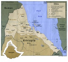
Eritrea Map
4284 miles away
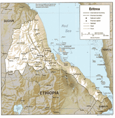
Eritrea in 1987 Map
4289 miles away
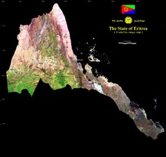
Eritrea Satellite Image Map
Eritrea photographed from space
4289 miles away
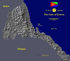
State of Eritrea Drainage and Elevation Map
Eritrea elevation map with drainage lines shown
4289 miles away
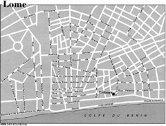
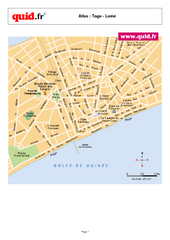
Lome, Togo Tourist Map
4290 miles away
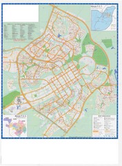
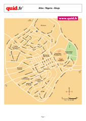
Abuja City Tourist Map
Tourist map of Abuja, Nigeria. Mostly illegible.
4290 miles away
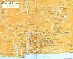
Central Accra Tourist Map
Tourist map of Accra, Ghana showing hotels, embassies, airline offices and neighborhoods.
4301 miles away
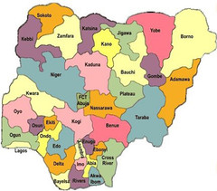
Nigeria political regions Map
4303 miles away
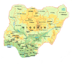
Nigeria Map
4308 miles away
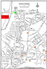
Accra Ghana Map
City center map of Accra, Ghana with tourist attractions identified on the map with street level...
4311 miles away
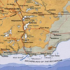
Esperance, Australia Tourist Map
A map of the Esperance region in Australia.
4312 miles away
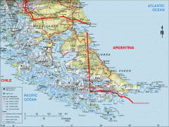
Southern Tip of South America Map
Shows Tierra del Fuego and other regions around the Strait of Magellan. Chile and Argentina.
4314 miles away

