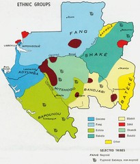
Gabon ethnic groups Map
3552 miles away
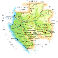
Gabon Map
3557 miles away
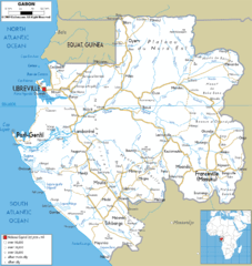
Gabon road Map
3559 miles away
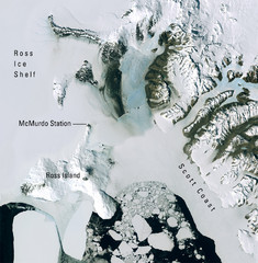
Ross Island McMurdo Station Area Landsat Map
Landsat mosaic map of the Ross Island / Ross Ice Shelf / U.S. McMurdo Station area
3559 miles away
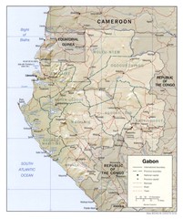
Gabon physical Map
3563 miles away
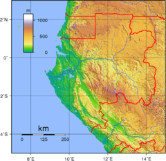
Gabon Topography Map
3564 miles away
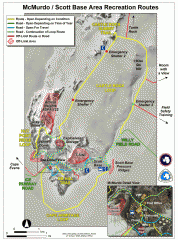
McMurdo and Scott Base Area Recreation Route Map
Shows roads around McMurdo Station (US) and Scott Base (New Zealand) Antarctic research stations on...
3575 miles away
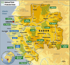
Gabon National Park Map
Guide to the national parks of Gabon in Africa
3578 miles away
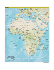
Africa CIA world factbook Map
3579 miles away
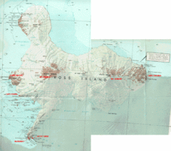
Ross Island Map
Topo map of Ross Island, home of the US McMurdo Station, Mt. Erebus, Mt. Terror, Cape Evans, Cape...
3587 miles away
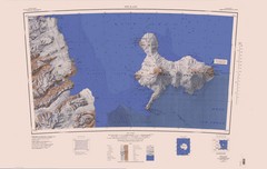
Ross Island Topo Map
Topo map of Ross Island, Antarctica. Shows US Mcmurdo Station, New Zealand Scott Base and volcanic...
3589 miles away
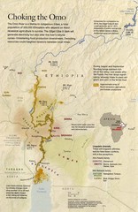
Omo River Ethiopia Map
Choking of the Omo River from National Geographic Magazine
3601 miles away
Alexander Island Map
Topographic map of Alexander Island
3608 miles away
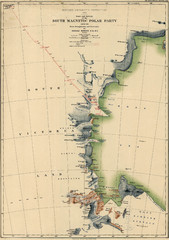
Map of Shackleton’s 1907-1909 Antarctic...
Eric Stewart Marshall's map of Shackleton's "Nimrod" expedition of 1907-09.
3611 miles away
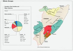
Somalia Ethnic Groups Map
Map of ethnic groups throughout Somalia
3613 miles away
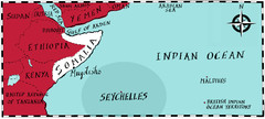
Somalia by Maps Illustrated Map
Map from Diplomat Magazine showing the location of Somalia and the area of sea that the Seychelles...
3630 miles away
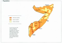
Somalia Population Density Map
Map of Somalia's population density
3630 miles away
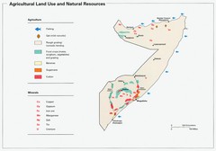
Somalia Land Use Map
Map of Somalia's agricultural land use and natural resources
3630 miles away
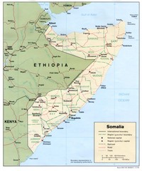
Somalia Map
Basic map and legend marking borders and cities.
3630 miles away
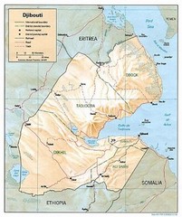
Djibouti Tourist Map
3634 miles away

Indian Ocean Area Map
Countries highlighted were visited by Marco Polo.
3639 miles away
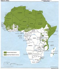
Islam in Africa Map
Map of Islamic population densities throughout Africa
3649 miles away
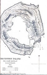
Deception Island Map
3655 miles away
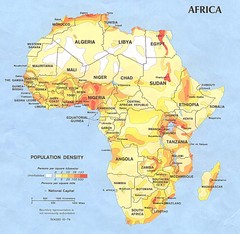
Africa Population Map
Map of population densities throughout Africa
3656 miles away
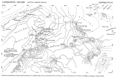
Livingston Island Map
3667 miles away
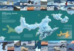
Livingston Island Ice Cover Map
L.L. Ivanov et al, Antarctica: Livingston Island, South Shetland Islands (from English Strait to...
3670 miles away
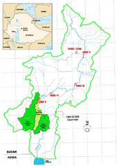
Omo River Drainage area Map
3670 miles away
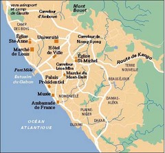
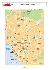
Libreville City Map
Simple map marking towns and roads.
3686 miles away
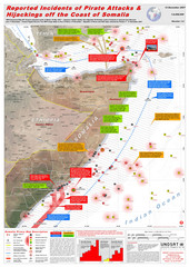
Somali Pirate Attacks Map as of Dec 12, 2007
Shows reported incidents of pirate attacks and hijackings off the coast of Somalia from Jan 2005...
3689 miles away
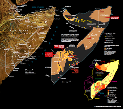
Somalia Conflict Map 2002
Shows conflict related information in Somalia from 2001-2002.
3691 miles away
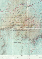
Bale Mountains National Park Map
3702 miles away
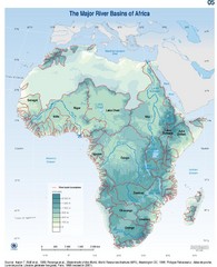
Africa River Basin Map
Guide to the major river basins of Africa
3708 miles away
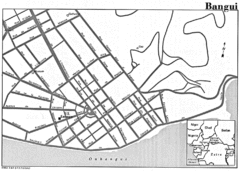
Bangui Road Map
Road map of Bangui city in the Central African Republic.
3729 miles away
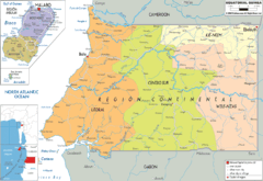
Equatorial Guinea Political Map
3730 miles away
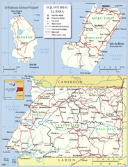
Equatorial Guinea Admin. Map
3737 miles away
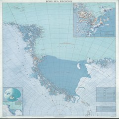
Ross Sea Regions Map
Physical relief map of the Ross Sea regions. Shows Victoria Land, Ross Sea, McMurdo Sound, Ross Ice...
3739 miles away
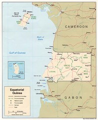
Equatorial Guinea Map
Guide to the African country of Equitorial Guinea
3739 miles away
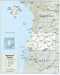
Equatorial Guinea Guide Map
3744 miles away
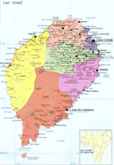
Sao Tome Political Map
Political map of island of São Tomé, lying on the equator off the west coast of...
3757 miles away

