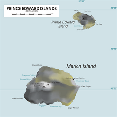
Prince Edward Island Map
Map of islands of South Africa
0 miles away
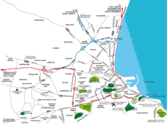
Port Elizabeth Street Map
Port Elizabeth, South Africa tourist map showing streets, shopping, parks and recreation.
1092 miles away
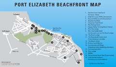
Port Elizabeth Beachfront Map
1092 miles away
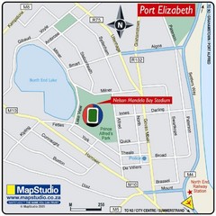
Nelson Mandela Bay Stadium, Port Elizabeth, South...
Location Map for Nelson Mandela Bay Stadium, Port Elizabeth, Eastern Cape, South Africa. 2010...
1094 miles away
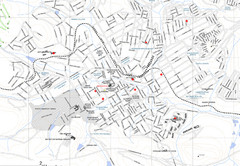
Grahamstown Map
Street map of Grahamstown
1103 miles away
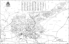
Grahamstown Street Map
Street map of Grahamstown, South Africa. Home of Rhodes University.
1104 miles away

Jeffreys Bay Map
Street map of Jeffreys Bay
1108 miles away

Jeffreys Bay Tourist Map
Tourist map of Jeffreys Bay (Jeffreysbaai), South Africa. Shows points of interest and has street...
1108 miles away
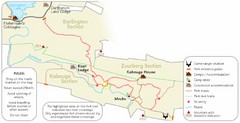
Addo Elephant National Park Trails Map
1131 miles away
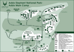
Addo Elephant National Park Map
1132 miles away

Tsitsikamma National Park Map
1153 miles away
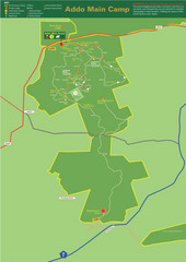
Addo Elephant National Park Map
Addo Main Game Area Tourist Road Map for Addo Elephant National Park, South Africa. Map shows...
1155 miles away
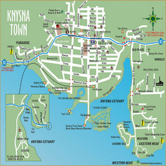
Knysna Town Map
Town map of Knysna, South Africa
1169 miles away
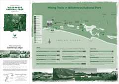
Wilderness National Park Map
1188 miles away
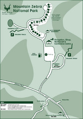
Mountain Zebra National Park Map
1202 miles away
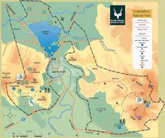
Camdeboo National Park Map
1221 miles away
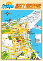
Durban City Center Map
Tourist map of central Durban, South Africa
1226 miles away
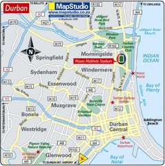
Moses Mabhida Stadium, Durban, South Africa Map
Location Map of Moses Mabhida Stadium in Durban, Kwa-Zulu Natal, South Africa. Venue for 2010...
1228 miles away

Tiffindell Ski Trail Map
Trail map from Tiffindell.
1234 miles away
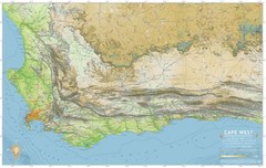
Cape West Map
A relief map of Cape Town's environs
1244 miles away
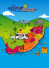
Baz Bus Map
Covering the entire East Coast of South Africa including: The Garden Route, Swaziland, Drakensberg...
1260 miles away
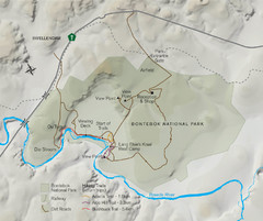
Bontebok National Park Map
1261 miles away
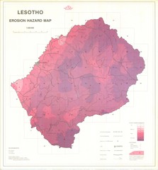
Lesotho Erosion Hazard Map
Guide to erosion in Lesotho
1291 miles away
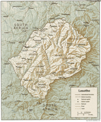
Lesotho Map
Guide to the African country of Lesotho
1292 miles away
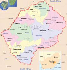
Lesotho Map
Cities, roads, provinces and borders are labeled on this map.
1294 miles away
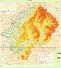
Lesotho Physical Map
Physical map of Lesotho. Shaded by elevation.
1294 miles away
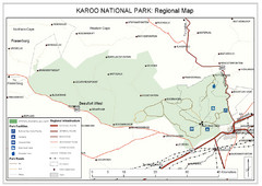
Karoo National Park Map
1297 miles away
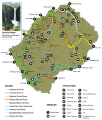
Lesotho tourism routes Map
1298 miles away
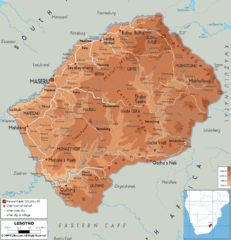
Lesotho physical Map
1298 miles away
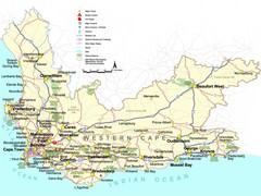
Western Cape Tourist Map
Map of Western Cape, South Africa showing cities, major roads, parks, airports and border controls.
1303 miles away
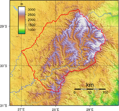
Lesotho topo Map
1304 miles away
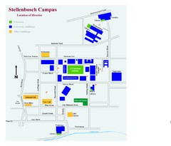
Stellenbosch Campus Map
Map of Stellenbosch University campus
1329 miles away
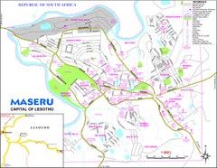
Maseru City Map
Map and legend of this Lesotho Capitol.
1329 miles away
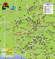
Stellenbosch Wine Route Map
Map of Stellenbosch showing routes to take to tour the wineries. 5 wine routes identified.
1329 miles away
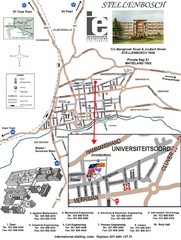
Stellenbosch University and Town Map
Map of Stellenbosch University campus as well as surrounding town
1329 miles away
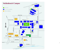
Stellenbosch Campus Map
Visitor's map of Stellenbosch Campus including all buildings and roads color-coded.
1330 miles away
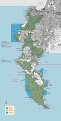
Table Mountain National Park Map
Official management map of Table Mountain National Park Map near Capetown, South Africa. Also...
1335 miles away
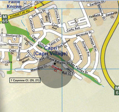
Capri Village Map
1335 miles away
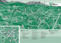
Wellington Tourist Map
Shows major streets and points of interest for eating, wine, and brandy.
1339 miles away

