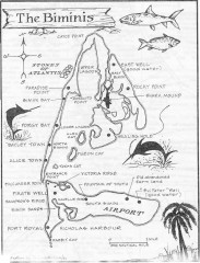
Map of the Bimini Islands in the Bahamas
Map of the Bimini Islands in the Bahamas.
59 miles away
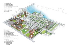
Palm Beach Atlantic University Map
Campus map
64 miles away
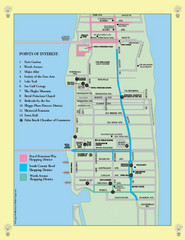
Palm Beach Tourist Map
64 miles away
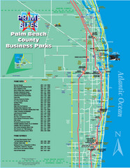
Palm Beach Tourist Map
64 miles away
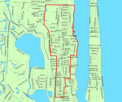
West Palm Beach, Florida City Map
65 miles away
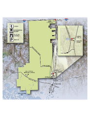
Fakahatchee Strand Preserve State Park Map
Map of park
72 miles away
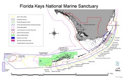
Florida Keys National Marine Sanctuary Map
Map of Florida Keys National Marine Sanctuary
75 miles away

Florida Keys Map
Map of the Florida Keys includes all islands, dive sites, boat launches and important places.
76 miles away
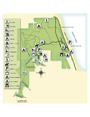
Jonathan Dickinson State Park Map
Map of park with detail of trails and recreation zones
84 miles away
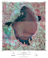
Elevation contour maps of Lake Okeechobee Map
Elevation contour maps of Lake Okeechobee
85 miles away
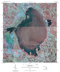
Elevation Contours of Lake Okeechobee Map
Elevation contour maps of Lake Okeechobee
85 miles away
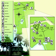
Collier-Seminole State Park Map
Map of park with detail of trails and recreation zones
87 miles away
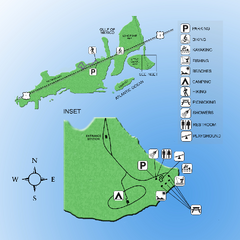
Curry Hammock State Park Map
Map of park with detail of various recreation zones
87 miles away

Florida Keys Map
Tourist map of the Florida Keys. Shows points of interest and dive sites.
93 miles away
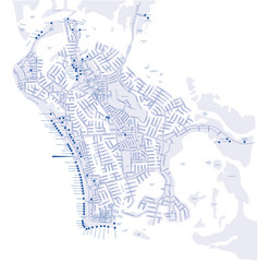
Marco Island Hotel Map
Hotel map of Marco Island, Florida
94 miles away
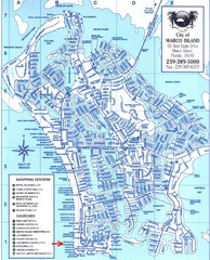
Marco Island Map
94 miles away
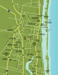
Port St. Lucie Map
Map of Port Saint Lucie.
102 miles away
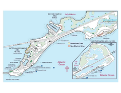
Bahia Honda State Park Map
Map of park with detail of recreation zones
102 miles away

Port St. Lucie , Florida City Map
103 miles away
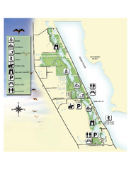
Savannas Preserve State Park Map
Map of park with detail of trails and recreation zones
106 miles away
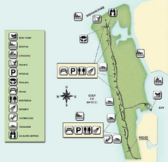
Delnor-Wiggings Pass State Park Map
Map of park with detail of trails and recreation zones
106 miles away

Birdwatching Areas in St. Lucie County Florida Map
Map shows Birdwatching Areas in St. Lucie County, Florida.
108 miles away
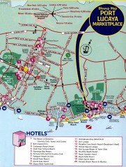
Freeport tourist map
Tourist map of Freeport on Grand Bahama Island in the Bahamas.
108 miles away
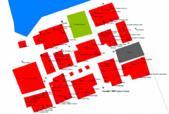
Port Lucaya Marketplace, Grand Bahama Island...
109 miles away
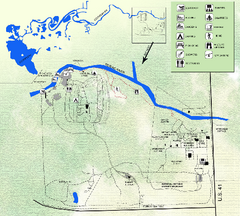
Koreshan State Historic Site Map
Map of park with detail of trails and recreation zones
109 miles away
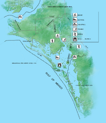
Estero Bay Preserve State Park Map
Map of park with detail of trails and recreation zones
113 miles away

Baseball Spring Training in Souther Florida Map
Guide 2009 Baseball Spring Training in Florida
113 miles away
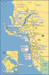
Fort Meyers tourist map
Tourist map of Fort Meyers, Florida. Shows businesses and points of interest.
118 miles away
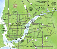
Cap Coral and Surrounding Area Map
Small, humble fishing community along the coast of Florida.
121 miles away
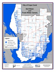
Cape Coral, Florida City Map
125 miles away
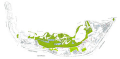
Sanibel Island and Captiva Island Map
126 miles away
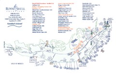
Sanibel Island Tourist Map
Tourist map of Sanibel Island, Florida
126 miles away
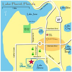
Lake Placide Town Map
127 miles away
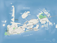
Key West Map
129 miles away
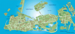
Key West tourist map
Key West tourist map, showing points of interest.
130 miles away
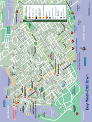
Old Town Key West, Florida Map
Tourist map of Old Town Key West, Florida. Beaches, boat ramps, and other points of interest are...
131 miles away
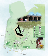
Fort Zachary Taylor State Park Map
Map of park with detail of trails and recreation zones
132 miles away
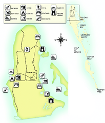
Cayo Costa State Park Map
Map of park with detail of trails and recreation zones
140 miles away
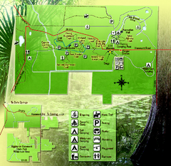
Highlands Hammock State Park Map
142 miles away
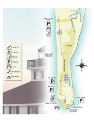
Gasparilla Island State Park Map
Map of park with detail of trails and recreation zones
143 miles away

