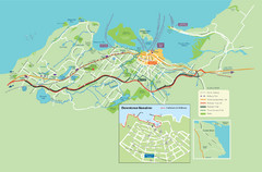
Nanaimo City Map
Map of Nanaimo, BC. Shows trails and parks.
117 miles away
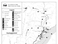
Golden Ears Provincial Park Map
Park map of Golden Ears Provincial Park, BC. 2 pages.
120 miles away
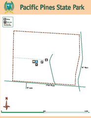
Pacific Pines State Park Map
Map of park with detail of trails and recreation zones
120 miles away
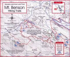
Mt. Benson Hiking Trail Map
Show hiking trails in the Nanaimo and Area Land Trust containing Mt. Benson. Also shows roads and...
121 miles away
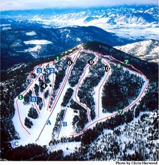
Loup Loup Ski Bowl Ski Trail Map
Trail map from Loup Loup Ski Bowl, which provides downhill, night, and nordic skiing. It has 2...
121 miles away
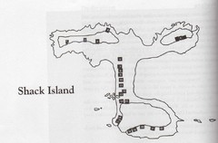
Shack Island Map
Illustration taken from the book "Shack Island" by Ruth English Matson. 2004.
122 miles away

Yakima, Washington City Map
122 miles away
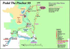
Pedal the Pinchot Bike Ride Route Map
Route Map for the Pedal the Pinchot 99 bike ride - annotated on a Park trail map.
122 miles away
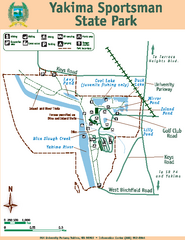
Yakima Sportsman State Park Map
Map of park with detail of trails and recreation zones
124 miles away
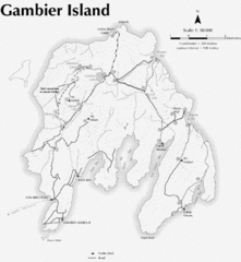
Gambier Island Trail Map
Trail map of Gambier Island, BC. See site for trail descriptions and details.
124 miles away
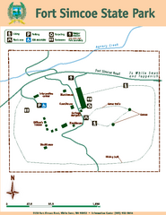
Fort Simcoe State Park Map
Map of park with detail of trails and recreation zones
125 miles away
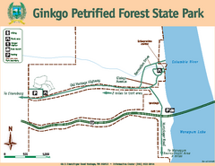
Ginkgo Petrified Forest State Park Map
Map of park with detail of trails and recreation zones
126 miles away
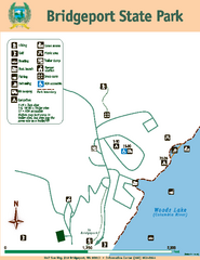
Bridgeport State Park Map
Map of park with detail of trails and recreation zones
128 miles away
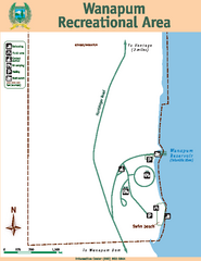
Wanapum Recreational Area Map
Map of park with detail of trails and recreation zones
128 miles away
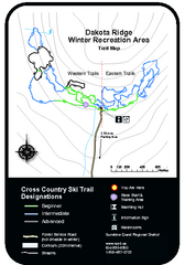
Dakota Ridge Ski Trail Map
Trail map from Dakota Ridge, which provides nordic skiing. This ski area has its own website.
130 miles away
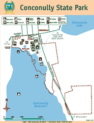
Conconully State Park Map
Map of park with detail of trails and recreation zones
132 miles away
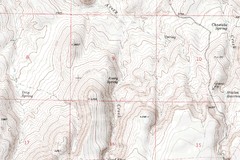
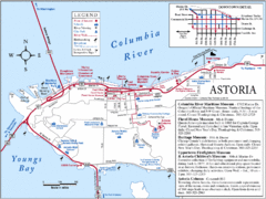
Astoria Oregon Map
A detailed topographic map of Astoria, Oregon and the Columbia River.
132 miles away
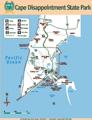
Cape Dissapointment State Park Map
Map of park with detail of trails and recreation zones
132 miles away
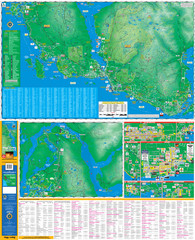
Folded Sunshine Coast Super Map
Folded Sunshine Coast Super Map
134 miles away
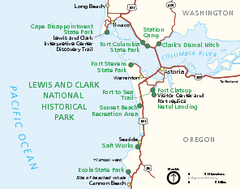
Lewis & Clark National Historic Trail...
Official NPS map of Lewis & Clark National Historic Trail in Oregon-Washington. Shows all areas...
134 miles away
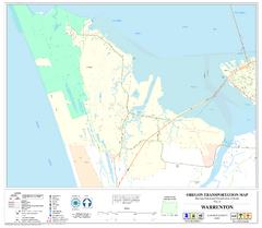
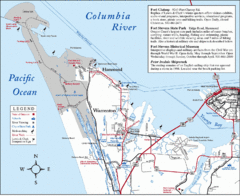
Warrenton Oregon Road Map
135 miles away
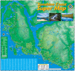
Sunshine Coast Super Map
Sunshine Coast Super Map Poster. 44" X 42". Also Available in folded version.
135 miles away
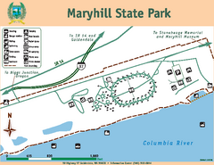
Maryhill State Park Map
Map of park with detail of trails and recreation zones
137 miles away
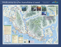
Lower Sunshine Coast Recreation Map
Recreation map of the Lower Sunshine Coast in BC. Shows hiking trails, mountain biking trails...
138 miles away
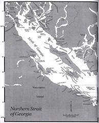
Northern Strait of Georgia Map
138 miles away
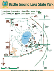
Battle Ground Lake State Park Map
Map of park with detail of trails and recreation zones
139 miles away
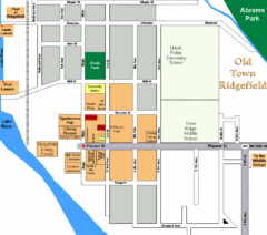
Guide Map of Old Town Ridgefield
Guide Map of Old Town Ridgefield, Washington
140 miles away
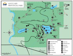
Alice Lake Provincal Park Map
140 miles away
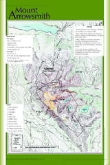
Mount Arrowsmith Climbing Route Map
Climbing routes on Mount Arrowsmith, Vancouver Island
141 miles away
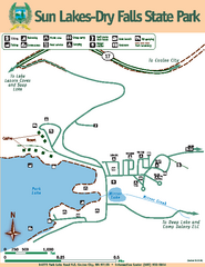
Sun Lakes-Dry Falls State Park Map
Map of park with detail of trails and recreation zones
141 miles away
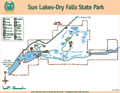
Sun Lakes-Dry Falls State Park Map
Map of park with detail of trails and recreation zones
141 miles away
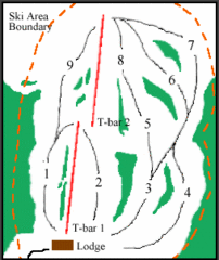
Mount Arrowsmith (Upper) Ski Trail Map
Trail map from Mount Arrowsmith (Upper).
141 miles away
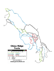
China Ridge XC Ski Trail Map
Trail map from China Ridge XC, which provides nordic skiing.
142 miles away
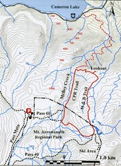
Mt. Arrowsmith Park CPR Historic Trail Map
Trail map of Mt. Arrowsmith Regional Park CPR Historic Trail, Vancouver Island
142 miles away
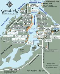
Bamfield Tourist Map
145 miles away
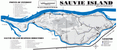
Sauvie Island tourist map
Tourist map of Sauvie Island in Oregon. Shows all businesses and points of interest.
146 miles away
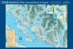
Sunshine Coast Recreation Map
Recreation map of the Sunshine Coast in BC. Shows trails for hiking (in yellow) and mountain...
146 miles away

