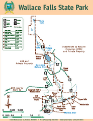
Wallace Falls State Park Map
Map of park with detail of trails and recreation zones
34 miles away
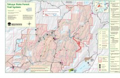
Tahuya State Forest Trail Map
Shows trails of Tahuya State Forest. Show roads, doubletrack, singletrack, and 4WD only.
34 miles away
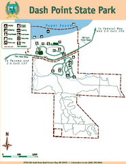
Dash Point State Park Map
Map of park with detail of trails and recreation zones
34 miles away

Oak Harbor tourist map
Tourist map of Oak Harbor, Washington. Shows all businesses.
35 miles away
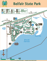
Belfair State Park Map
Map of park, with detail of trails and recreation zones
35 miles away
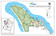
Point Defiance Park Map
36 miles away
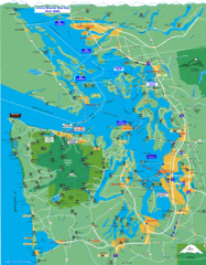
Seattle Ferry Guide Map
Map of ferries around Seattle, Puget Sound and Olympic Peninsula
36 miles away
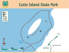
Cutts Island Stay Park Map
Map of park with detail of trails and recreation zones
37 miles away
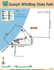
Joseph Whidbey State Park Map
Map of park with detail of trails and recreation zones
37 miles away
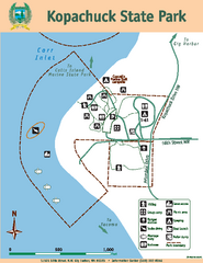
Kopachuck State Park Map
Map of island with detail of trails and recreation zones
38 miles away
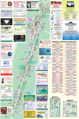
Milton tourist map
Tourist map of Milton, Washington. Shows all businesses.
39 miles away
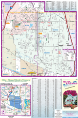
Milton and Edgewood tourist map
Tourist map of Milton and Edgewood, Washington. Shows all businesses.
39 miles away
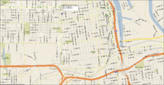
Tacoma, Washington City Map
40 miles away
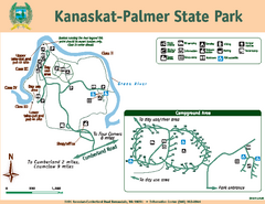
Kanaskat-Palmer State Park Map
Map of park with detail of trails and recreation zones
41 miles away
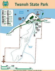
Twanoh State Park Map
Map of park with detail of trails and recreation zones
41 miles away
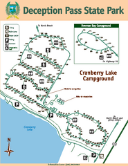
Deception Pass State Park Map
Map of park with detail of trails and recreation zones
42 miles away
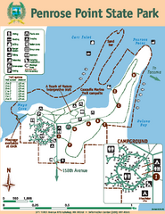
Penrose Point State Park Map
Map of park with detail of trails and recreation zones
42 miles away
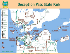
Deception Pass State Park Map
Map of park with detail of trails and recreation zones
42 miles away
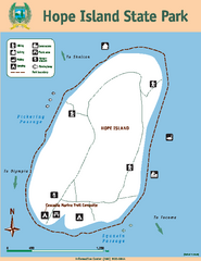
Hope Island State Park Map
Map of park with detail of trails and recreation zones
42 miles away
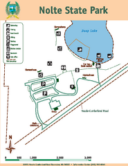
Nolte State Park Map
Map of park with detail of trails and recreation zones
43 miles away
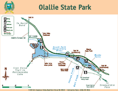
Olallie State Park Map
Map of park with detail of trails and recreation zones
43 miles away
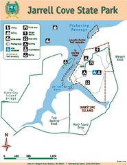
Jarrell Cove State Park Map
Map of park with detail of trails and recreation zones
44 miles away
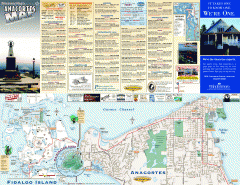
Fidalgo Island tourist map
Tourist map of Fidalgo Island in Anacortes, Washington. Shows recreation and points of interest.
45 miles away
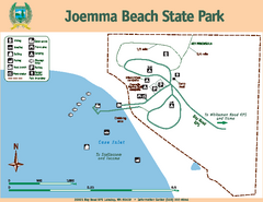
Joemma Beach State Park Map
Map of park with detail of trails and recreation zones
45 miles away
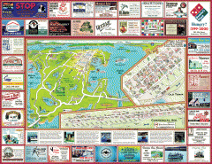
Anacortes tourist map
Tourist map of Anacortes, Washington. Shows recreation and points of interest.
47 miles away
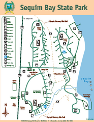
Sequim Bay State Park Map
Map of park with detail of trails and recreation zones
49 miles away

Skagit County Washington, 1909 Map
51 miles away
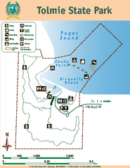
Tolmie State Park Map
Map of park with detail of trails and recreation zones
52 miles away
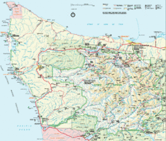
Olympic National Park Map
52 miles away
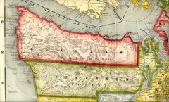
Clallam and Jefferson Counties Washington, 1909...
52 miles away
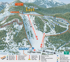
The Summit at Snoqualmie Summit East Ski Trail Map
Trail map from The Summit at Snoqualmie, which provides night and terrain park skiing. It has 30...
53 miles away
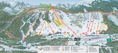
The Summit at Snoqualmie Summit Central Ski Trail...
Trail map from The Summit at Snoqualmie, which provides night and terrain park skiing. It has 30...
53 miles away
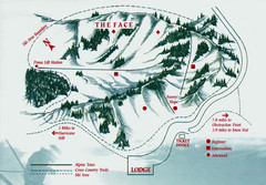
Hurricane Ridge Ski Trail Map
Trail map from Hurricane Ridge.
53 miles away
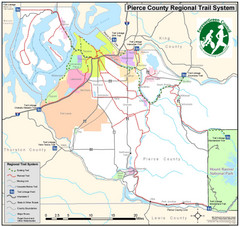
Pierce County Regional Trail Map
County-wide system of trails
53 miles away
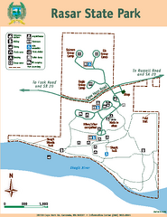
Rasar State Park Map
Map of park with detail of trails and recreation zones
53 miles away
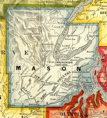
Mason County Washington, 1909 Map
54 miles away
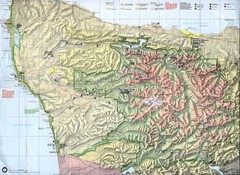
Olympic National Park Map
54 miles away
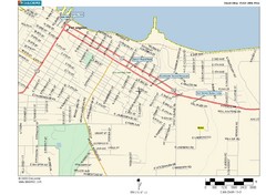
Port Angeles City Map
54 miles away
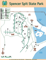
Spencer Spit State Park Map
Map of park with detail of trails and recreation zones
55 miles away
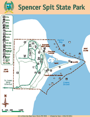
Spencer Spit State Park Map
Map of park with detail of trails and recreation zones
55 miles away

