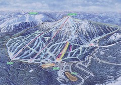
Apex Mountain Ski Resort Map
Apex Mountain Trail Map, Lifts and Elevations
178 miles away
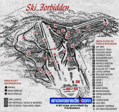
Pre-1999 Forbidden Plateau Map #2
Trail map from Forbidden Plateau.
180 miles away
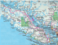
Vancouver Island Road Map
180 miles away
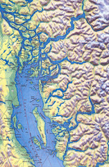
Northern Gulf Map
Map of Northern Gulf Islands
181 miles away

Kettle Valley Trails Map
Map of Kettle Valley Trails. Includes all trails, streets, and attractions.
182 miles away
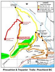
Peachland Walks Map
Guide to Pincushion and Trepanier Trails in Peachland, BC
182 miles away
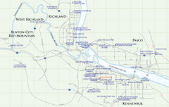
Kennewick Hotel Map
183 miles away
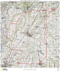
Spring Century Bike Route Map
Oregon Spring Century Ride
184 miles away
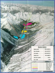
Cayoosh Resort (Melvin Creek) Ski Trail Map
Trail map from Cayoosh Resort (Melvin Creek), which provides downhill skiing.
186 miles away
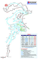
Telemark Cross Country Ski Trail Map
Trail map from Telemark Cross Country, which provides nordic skiing. This ski area has its own...
186 miles away
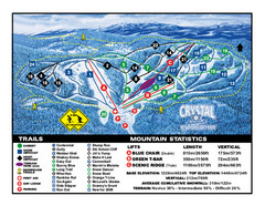
Crystal Mountain Resort Ski Trail Map
Trail map from Crystal Mountain Resort, which provides downhill skiing. This ski area has its own...
188 miles away
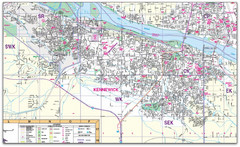
Kennewick, Washington City Map
188 miles away
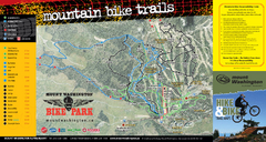
Mt. Washington Resort Summer Mountain Biking Ski...
Trail map from Mt. Washington Resort, which provides downhill and nordic skiing.
188 miles away
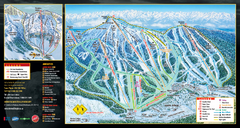
Mt. Washington Resort Ski Trail Map
Trail map from Mt. Washington Resort, which provides downhill and nordic skiing.
188 miles away
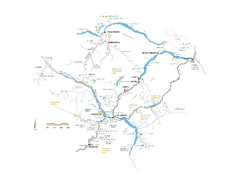
Pemberton Valley Area Parks Map
Area parks map of Pemberton Valley area in BC. Shows peaks and lakes.
189 miles away

City of Kennewick Map
Simple road map of Kennewick.
189 miles away
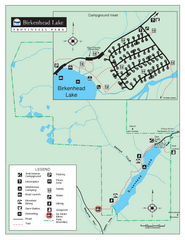
Birkenhead Lake Provincial Park Map
Park map of Birkenhead Lake Provincial Park, BC. Inset of campground
190 miles away
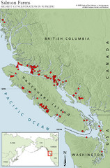
BC Salmon Farms Map
Shows fishfarms in BC around Vancouver Island, highest concentration of fish farms in North Pacific
192 miles away
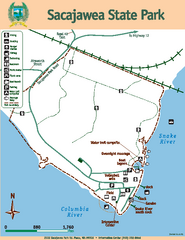
Sacajawea State Park Map
Map of park with detail of trails and recreation zones
193 miles away
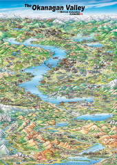
Pictorial map of the Okanagan Valley
194 miles away
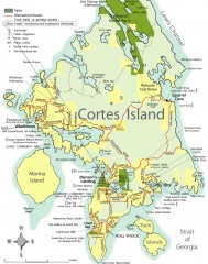
Cortes Island tourist map
Tourist map of Cortes Island in British Columbia, Canada. Shows businesses and roads.
195 miles away

Phoenix Mountain Ski Trail Map
Trail map from Phoenix Mountain.
196 miles away
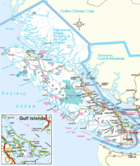
Vancouver Island Park Map
Parks and roads on Vancouver Island.
196 miles away
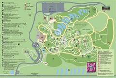
Oregon Garden Map
Map and key marking trails and more in this amazing garden.
197 miles away
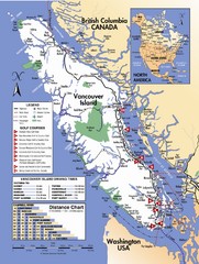
Vancouver Island Road Map
197 miles away
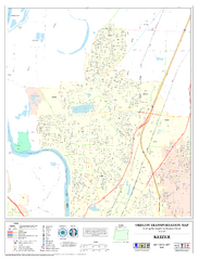
Keizer Oregon Road Map
198 miles away
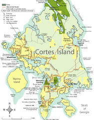
Cortes Island Tourist Map
Places of interest.
198 miles away
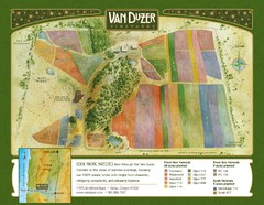
Van Duzer Vineyard Map
"A colorful vineyard map that shows the location of Van Duzer’s numerous grape varietals...
200 miles away
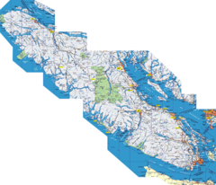
Vancouver Island Map
Detailed map of Vancouver Island, British Columbia. Shows towns, roads, and parks.
201 miles away
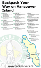
Vancouver Island Backpacking Map
Shows hostels on Vancouver Island, BC
201 miles away
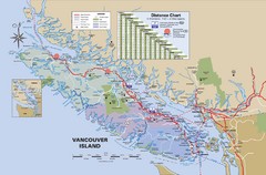
Vancouver Island Map
201 miles away
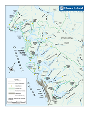
Flores Island Provincial Park Area Map
Park map of area around Flores Island Provincial Park, BC in the Clayoquot Sound. Flores Island is...
202 miles away
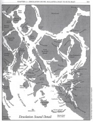
Desolation Sound Detail Map
Shows general geography of Desolation Sound from Malaspina Inlet to Bute Inlet. Shows Cortes Bay...
204 miles away
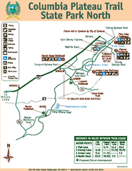
Columbia Plateau Trail State Park North Map
Map of park with detail of trails and recreation zones
204 miles away
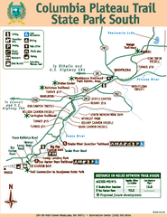
Columbia Plateau Trail State Park South Map
Map of park with detail of trails and recreation zones
204 miles away
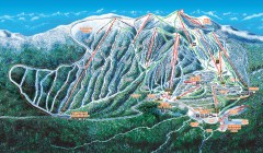
Big White Ski Trail Map
Official ski trail map of Big White ski area from the 2007-2008 season.
205 miles away
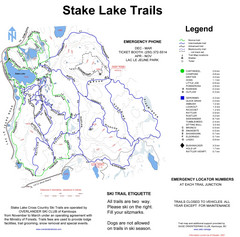
Stake Lake Nordic Ski Trail Map
Trail map from Stake Lake.
205 miles away
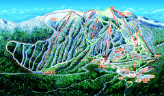
Big White Ski Resort Ski Trail Map
Trail map from Big White Ski Resort, which provides downhill, night, nordic, and terrain park...
205 miles away
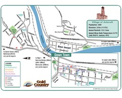
Ashcroft Map
Map of Ashcroft, includes all streets, highways, accommodations and attractions.
207 miles away

Independence Oregon Road Map
209 miles away

