
BANKS-VERNONIA STATE TRAIL Map
146 miles away
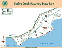
Spring Creek Hatchery State Park map
Map of park with detail of trails and recreation zones
150 miles away
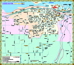
Hood River Map
Tourist map of city of Hood River, Oregon.
152 miles away
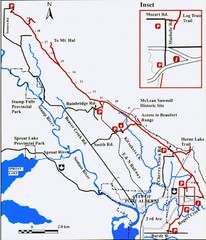
Log Train Trail Map
Trail map of the Log Train Trail near Port Alberni, Vancouver Island
153 miles away
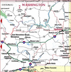
Eastern Washington Road Map
153 miles away
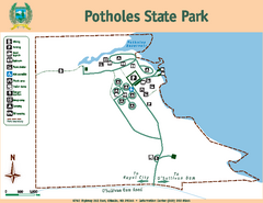
Potholes State Park Map
Map of park with detail of trails and recreation zones
153 miles away
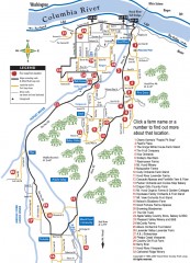
Hood River County Fruit Loop map
35-mile scenic drive through the valley's orchards, forests, farmlands, and friendly...
154 miles away
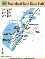
Steamboat Rock State Park Map
Map of park with detail of trails and recreation zones
154 miles away
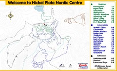
Nickel Plate Nordic Centre Ski Trail Map
Trail map from Nickel Plate Nordic Centre.
155 miles away
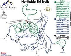
Nickel Plate Nordic Centre North Ski Trail Map
Trail map from Nickel Plate Nordic Centre.
155 miles away
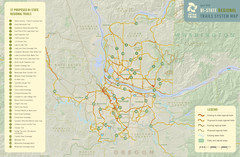
Bi-State Regional Trail System Plan Map
Shows plan for developing 37 Bi-State Regional Trails
155 miles away
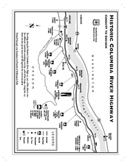
Historic Columbia River Highway Map
Official map from the US Forest Service. Shows the Corbett to Dodson stretch of Highway 30 with...
155 miles away
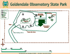
Goldendale State Park Map
Map of park with detail of trails and recreation zones
155 miles away
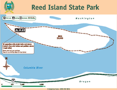
Reed Island State Park Map
Map of park with detail of trails and recreation zones
157 miles away

Maywood Park Oregon Road Map
157 miles away
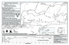
Forest Park Mountain Biking Map
Forest Park now includes over 5,100 wooded acres making it the largest, forested natural area...
157 miles away
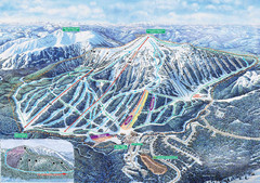
Apex Mountain Ski Trail Map
Official ski trail map of Apex Mountain ski area
157 miles away
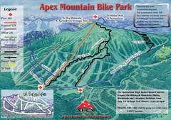
Apex Mountain Resort Biking Ski Trail Map
Trail map from Apex Mountain Resort, which provides downhill and terrain park skiing. It has 5...
157 miles away
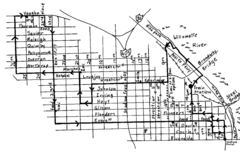
Pearl District Walking Map, Portland Oregon Map
Walk through the Pearl District, along the Willamette River and up to 23rd Street. Detour to the...
159 miles away
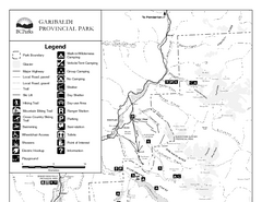
Garibaldi Provincial Park Map
Park map of Garibaldi Provincial Park, BC. 2 pages.
159 miles away
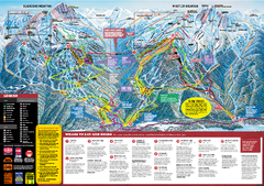
Whistler Blackcomb Trail map 2010-2011
Official ski trail map Whistler Blackcomb for the 2010-2011 season.
159 miles away
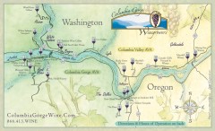
Columbia Gorge Wine Map
Wineries of the Columbia River Gorge area, Oregon.
159 miles away
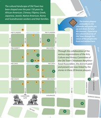
Old Town-China Town Map
Portland's oldest neighborhoods and history are easily seen in Old Town-China Town.
159 miles away
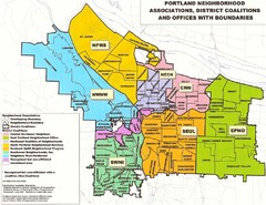
Portland Neighborhood Map
Shows neighborhood associations of Portland, Oregon.
159 miles away
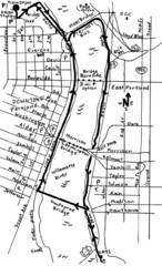
Portland Oregon downtown walk Map
Walk from the Amtrak Station to the Oregon Museum of Science and Industry. 4 miles round trip...
159 miles away
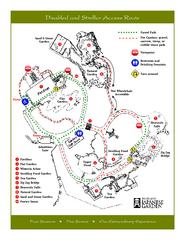
Portland Japanese Garden Map
So Far My favorite Japanese Garden
159 miles away
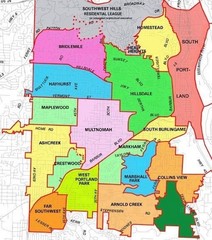
Portland, Oregon Neighborhood Map
159 miles away
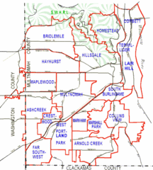
Portland, Oregon Neighborhood Map
159 miles away
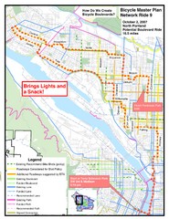
Portland, Oregon Bike Map
159 miles away
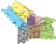
Portland, Oregon Neighborhood Map
159 miles away
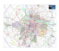
Portland, Oregon Tourist Map
159 miles away
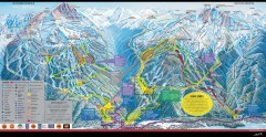
Whistler Blackcomb Ski Trail map 2005-06
Official ski trail map of the Whistler Blackcomb ski area from the 2005-2006 season. Site of the...
159 miles away
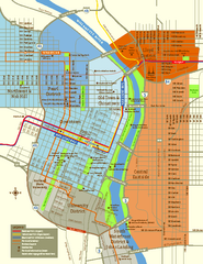
Central Portland, Oregon Map
Tourist map of Portland, Oregon. Shows museums, sports arenas, parks, and public transportation.
159 miles away
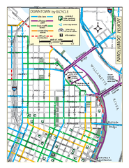
North Downtown Portland Bike Parking Map
Biking map of northern downtown Portland, Oregon. Shows bike paths, parking, and stores.
159 miles away
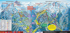
Whistler Blackcomb Ski Trail Map 2007-2008
Official ski trail map of the Whistler Blackcomb ski area from the 2007-2008 season. Site of Alpine...
159 miles away
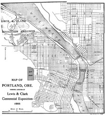
Portland, Oregon Map
Map of Portland, Oregon during centennial exposition of the Lewis & Clark Exploration...
159 miles away
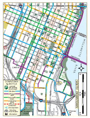
South Downtown Portland Bike Map
Biking map of southern downtown Portland, Oregon. Shows bike paths, bike parking, and bike shops.
160 miles away
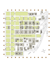
Portland State University Map
Campus Map of Portland State University. All buildings shown.
160 miles away

Creekside Map
Tourist map of Creekside Village
160 miles away


