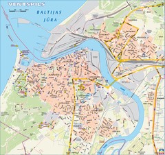
Ventspils city Map
552 miles away
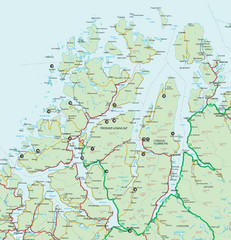
Tromso Lyngen Region Overview Map
Reference map of Tromso, Norway region above the Arctic Circle. Shows roads and major ferry routes.
557 miles away
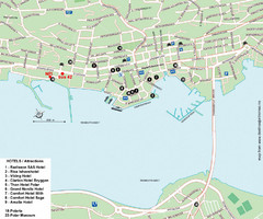
Tromso Tourist Map
Tourist map of central Tromso, Norway showing all hotels.
558 miles away
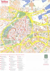
Tallinn center Map
558 miles away
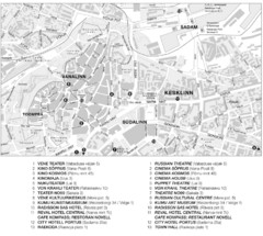
Tallinn Tourist Map
Tourist map of central Tallinn, Estonia. Shows theaters and hotels.
558 miles away
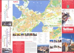
Tallinn guide side-1 Map
558 miles away
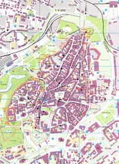
Tallinn Tourist Map
Tourist map of old town Tallinn, Estonia. In Estonian.
558 miles away
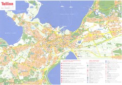
Tallinn region Map
558 miles away
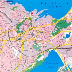
Tallinn City Map
Tallinn city street map
558 miles away
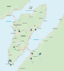
Tromso Overview Map
Overview map of Tromso, Norway island. Shows major roads and streets.
559 miles away
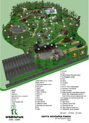
Ranua Wildlife Park Map
Adults and children of all ages are welcome to enjoy the experiences offered by Ranua Wildlife Park...
563 miles away
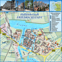
Friedrichstadt Tourist Map
Tourist street map of Friedrichstadt
566 miles away
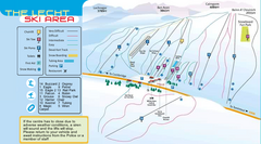
The Lecht Ski Trail Map
Trail map from The Lecht.
570 miles away
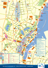
Kiel Tourist Map
Tourist map of Kiel, Germany. Shows streets, hotels, and points of interest.
571 miles away

Kiel Map
571 miles away
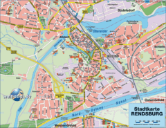
Rendsburg Map
Street map of city of Rendsburg
571 miles away
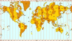
Welt Zeitzonen Map
572 miles away
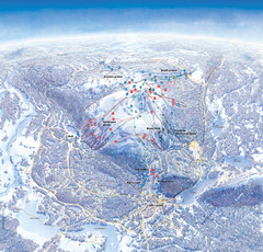
Levi Ski Trail Map
Ski trail map of Levi ski area in Levi, Finland.
574 miles away
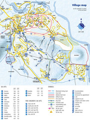
Levi Ski Trail and Village Map
Winter ski trail and village map of Levi ski area in Levi, Finland.
574 miles away
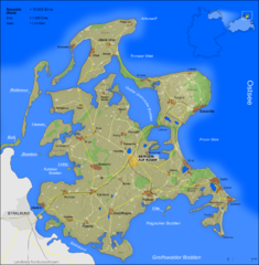
Rügen Map
Shows shaded population density of island of Rugen, Germany
575 miles away
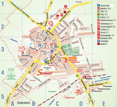
Wesselburen Tourist Map
Tourist street map of Wesselburen
578 miles away
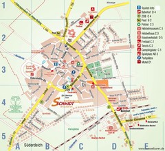
Wesselburen Tourist Map
Tourist map of Wesselburen
578 miles away
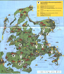
Rügen Tourist Map
Tourist map of the island of Rügen, Germany's largest island.
579 miles away
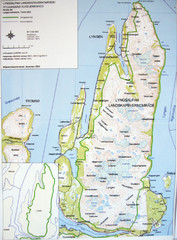
Lyngen Peninsula Map
Topo map of the northern Lyngen Peninsula near Tromso, Norway. Shows peaks. From photo.
579 miles away
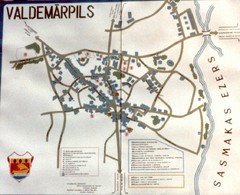
Valdemarpils Tourist Map
Tourist map of town of Valdemarpils, Latvia. From photo taken in town square, 1989
580 miles away
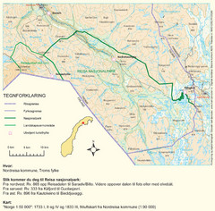
Reisa National Park Map
Overview map of Reisa National Park, Norway on the border with Sweden.
580 miles away
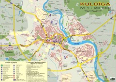
Kuldiga city Map
583 miles away

Opfer des Nationalsozialismus in Dithmarschen Map
585 miles away
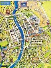
Inverness City Map
Pictorial map of Inverness
585 miles away
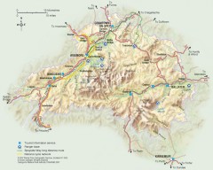
Cairngorms National Park Map
Official map of Cairngorms National Park, Britain's largest National Park at 3800 sq km. 4 of...
585 miles away
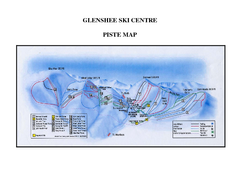
Glenshee Ski Centre Ski Trail Map
Trail map from Glenshee Ski Centre.
586 miles away
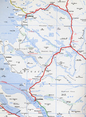
Elphin Map
586 miles away
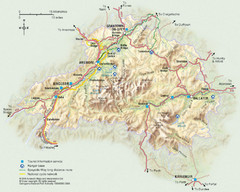
Cairngorms National Park Map
This map shows the boundaries of the Cairngorms National Park, which stretch from Grantown on Spey...
586 miles away


