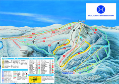
Hovden Skisenter Ski Trail Map
Ski trail map of Hovden Skisenter, Hovden, Norway.
218 miles away
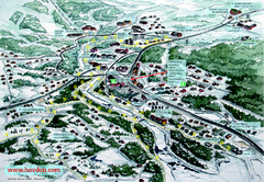
Hovden Town Map
Village map of Hovden, Norway. Panoramic view shows tourist buildings and lighted cross country...
218 miles away
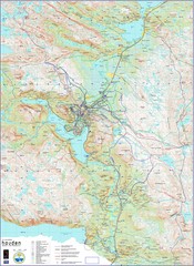
Hovden Norway Trail Map
Hovden has a total of 170 km cross-country skiing trails
219 miles away
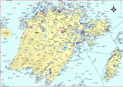
Vega Island Map
228 miles away
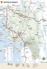
Ostfold County Map
Road map of Ostfold County, Norway.
230 miles away
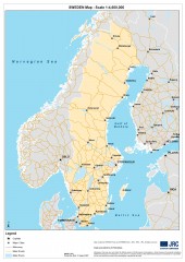
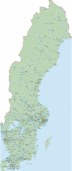
Sweden Map
Map of Sweden showing major cities and roads
236 miles away
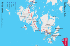
Hvaler Island Hopping Map
Tourist map of island hopping in Hvaler, Norway. Shows accommodations, beaches, camping, guest...
248 miles away
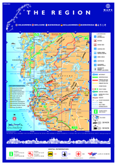
Stavanger Region Tourist Map
Tourist map of the Stavanger, Norway region. Shows points of interest.
269 miles away
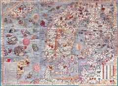
"Carta Marina" Scandinavian Marine Map
An ornate map of sea monsters, sinking ships, snakes, wolves and Scandinavia
272 miles away
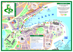
Gladmat Food Festival Map
Festival map of Gladmat from 2009. From the map: "More than 200,000 Norwegian and...
277 miles away

Beach Volleyball Swatch FIVB '09 World...
Shows all beach volleyball courts and tourist information for the Beach Volleyball Swatch FIVB...
277 miles away
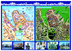
Stavanger City Center Aerial and Street Map
Tourist map of Stavanger, Norway. Shows street map and aerial photo map.
277 miles away
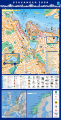
Stavanger Tourist Map
Tourist map of central Stavanger, Norway. Shows accommodations and other points of interest.
278 miles away
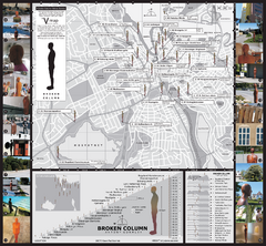
Antony Gormley - Broken Column - Stavanger Map
Broken Column sculptures by Antony Gormley. 23 site-specific placements of identical sculptures...
278 miles away
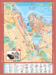
Stavanger Tourist Map
Tourist map of downtown Stavanger, Norway. Shows major buildings.
278 miles away
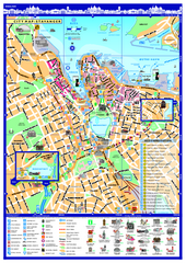
Stavanger City Map
Tourist map of Stavanger, Norway city center. Shows points of interest, accommodations, and...
278 miles away
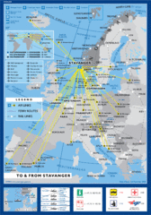
Air, Ferry and Rail Links to Stavanger Map
278 miles away
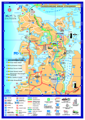
Stavanger Area Map
Tourist map of the area surrounding Stavanger, Norway. Shows accommodations and other points of...
279 miles away
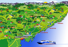
Kristiansand Area Coast Map
Stylized map shows major towns on and near coast near Kristiansand, Norway. Shows Kristiansand...
297 miles away
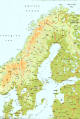
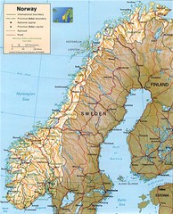
Sweden Physical Map
Map of Sweden and surrounding countries. Shows shaded relief
331 miles away
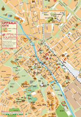
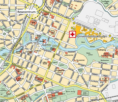
Uppsala Tourist Map
Tourist map of central Uppsala, Sweden. Shows public buildings, hotels, and other points of...
333 miles away
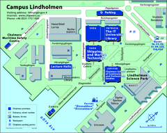
Campus Lindholmen Map
One of the two Chalmer's campuses.
347 miles away
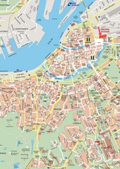
Central Gothenburg Street Map
Street map of central Gothenburg, Sweden
348 miles away
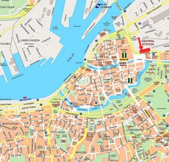
Gothenburg Tourist Map
348 miles away
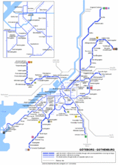
Göteborg Tram Map
Map marking rails, stops and more.
348 miles away
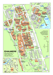
Campus Johanneberg Map
One of the two Chalmer campuses.
349 miles away
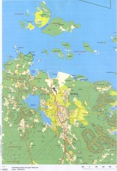
Herräng area map
Shows Herräng, Sweden and surrounding area
350 miles away
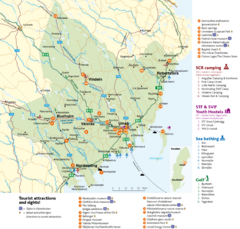
Umea Area Tourist Map
Regional map of Umeå, Sweden. Shows tourist attractions, camping, youth hostels, sea bathing...
350 miles away
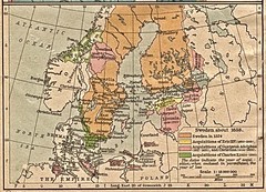
Historic map of Sweden in 1658
350 miles away
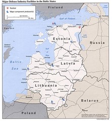
Major Defense Industries in the Baltic States Map
350 miles away
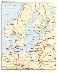
Balkan Sea States Map
350 miles away
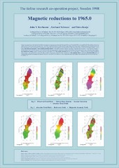
Magnetic Reductions to 1965.0 Map
Maps represent the total field magnetic anomalies of the Earth's lithosphere at the grid...
350 miles away
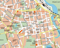
Linkoping City Center Map
Map of city center
357 miles away
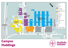
Karolinska Institute Karta Huddinge Campus Map
Easy to read and follow map of this Karolinska Institute campus.
365 miles away
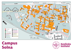
Karolinska Institute Solna Campus Map
Easy to read map of this small campus.
365 miles away

