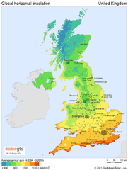
Solar radiation map of United Kingdom
Solar radiation map of UK, Global horizontal irradiation, Solar map UK
733 miles away
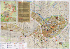
Amersfoort Map
735 miles away
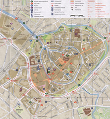
Amersfoort Map
735 miles away
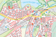
Vienenburg Center Map
Street map of town center
735 miles away
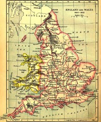
1660-1892 England and Wales Map
Guide to England and Wales from 1660-1892, showing topographic information
736 miles away
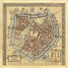
Münster City Map 1636
736 miles away
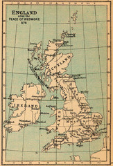
878 England Map
Guide to England after the Peace of Wedmore
737 miles away
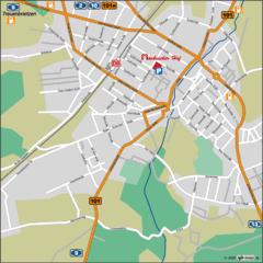
Luckenwalde Map
Street map of Luckenwalde
738 miles away
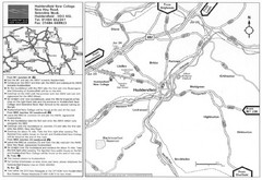
Huddersfield New College Location Map
738 miles away
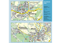
Horn-Bad Meinberg Map
Street map of Horn-Bad Meinberg and surrounding area
738 miles away
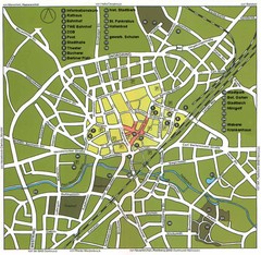
Gütersloh Map
Street tourist map of Gütersloh
738 miles away
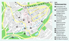
Goslar Map
738 miles away
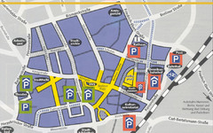
Parking Spots in Downtown Gutersloh Map
738 miles away

Woodhall Spa Map
Street map of Woodhall Spa
739 miles away
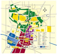
Lincoln Tourist Map
Tourist map of Lincoln, England. Shows points of interest.
739 miles away
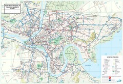
Kaunas City Map
741 miles away
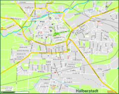
Halberstadt Map
Street map of Halberstadt town
741 miles away
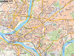
Kaunas Tourist Map
Tourist map of central Kaunas, Lithuania. Shows points of interest.
741 miles away

Cawston, Norfolk Guide Map
741 miles away
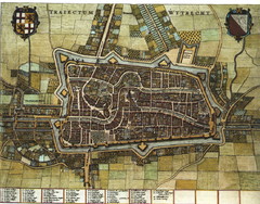
Historic map of Utrecht in 1652
741 miles away
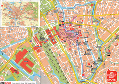
Utrecht Map
741 miles away
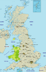
Wales Map
Guide to Wales and major cities in the United Kingdom
742 miles away
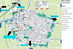
Leiden Tourist Map
Tourist map of downtown Leiden, The Netherlands. Shows some hotels and other points of interest.
742 miles away

Schematic UK Postcode Map
Shows all postcode areas in the United Kingdom in shape of UK with London extracted.
742 miles away
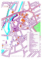
Central Rotherham Map
742 miles away
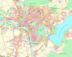
Kaunas Map
City map of Kaunus, Lithiania
742 miles away
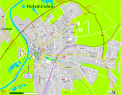
Holzminden Map
Street map of Holzminden
743 miles away

Great Yarmouth District England Map
Map of Great Yarmouth & the Norfolk Broads showing major roads and cities.
743 miles away
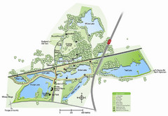
Whisby Nature Park Map
Shows park as of January 2009.
744 miles away
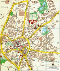
Ennirgerloh Map
Street map of Ennirgerloh
744 miles away
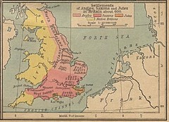
600 British Settlement Map
Map of settlements of Angels, Saxons, Jutes and Native Britons in 600
744 miles away

Rossendale Hospital Map
Campus map of hospital
744 miles away
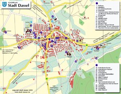
Dassel Tourist Map
Tourist street map of Dassel
744 miles away
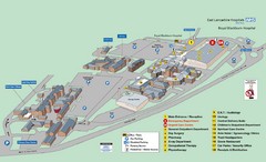
Royal Blackburn Hospital Map
Maps of Royal Blackburn
745 miles away
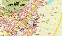
Bad Lippspringe Map
Street map of Bad Lippspringe
746 miles away
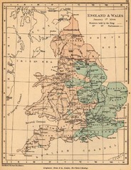
1644 England and Wales Political Map
Map showing districts held by teh King versus the Parliament during the Puritan Revolution
747 miles away

