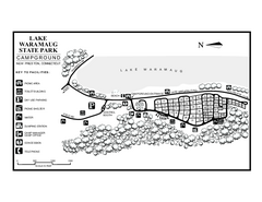
Lake Waramaug State Park campground map
Campground map of Lake Waramaug State Park.
87 miles away
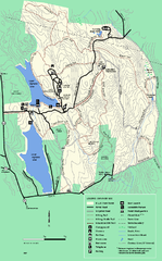
DAR State Forest summer map
Summer use map of the Daughters of the American Revolution state forest.
87 miles away
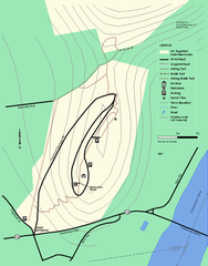
Mt. Sugarloaf State Reservation trail map
Trail map of Mount Sugarloaf State Reservation
87 miles away
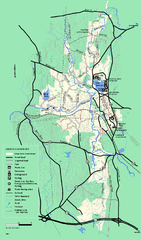
Otter River State Forest summer trail map
Summer trail map of the Otter River State Forest area in Massachusetts.
87 miles away
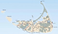
Tourist Map of Nantucket Island
Tourist map of Nantucket Island. Shows all towns and information.
88 miles away
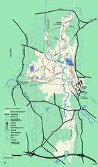
Otter River State Forest winter trail map
Winter usage trail map for Otter River State Park in Massachusetts.
88 miles away
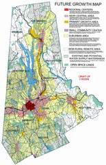
Danbury Regional Growth Map
Guide to future growth of Danbury, CT and surrounds
88 miles away
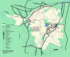
Willard Brook State Forest trail map
Trail map of Willard Brook State Forest in Massachusetts.
88 miles away
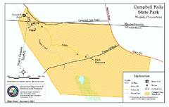
Cambell Falls State Park map
Trail map of Campbell Falls State Park Reserve in Connecticut
89 miles away
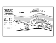
Housatonic State Forest campground map
Campground map of Housatonic State Forest in Connecticut.
89 miles away
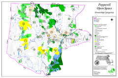
Pepperell Conservation Land and Open Spaces Map
Map showing conservation land and open spaces in Pepperell, MA.
89 miles away
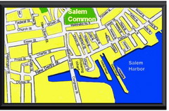
Salem, Massachusetts Guide Map
90 miles away
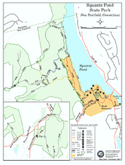
Squantz Pond State Park map
Trail and campground map for Squantz Pond State Park in Connecticut.
90 miles away
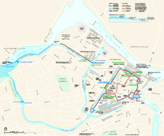
Lowell National Historical Park Official Map
Official NPS map of Lowell National Historical Park in Lowell, Massachusetts. Map shows all of...
90 miles away
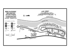
Housatonic Meadows State Park campground map
Campground map for Housatonic Meadows State Park in Connecticut.
90 miles away
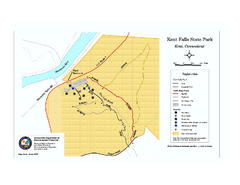
Kent Falls State Park trail map
Trail map of Kent Falls State Park in Connecticut.
90 miles away
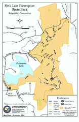
Seth Low Pierrepont State Park Reserve map
Trail map of Seth Low Pierreport State Park in Connecticut.
90 miles away
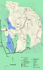
DAR State Forest winter map
Winter use map of the Daughters of the American Revolution State Forest.
91 miles away
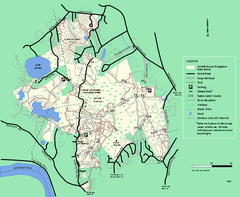
Lowell-Dracut-Tyngsboro State Forest trail map
Trail map for the Lowell-Dracut-Tyngsboro State Forest in Massachusetts
91 miles away
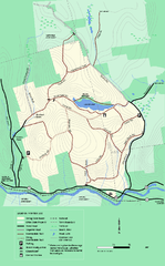
Erving State Park winter use map
Winter use map of the Erving State Park in Massachusetts
91 miles away
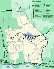
Erving Summer trail map
Summer use map of Erving State Park in Massachusetts.
91 miles away
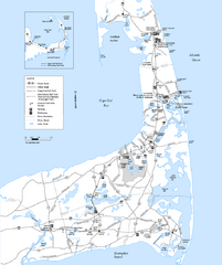
Cape Cod Rail Trail Map
Cape Cod Rail Trail map. The Cape Cod Rail Trail follows a former railroad right-of-way for 22...
91 miles away
Mt. Watatic to Wachusett Mountain, Massachusetts...
91 miles away
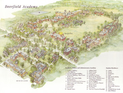
Deerfield Academy Campus Map
Shows buildings and facilities of Deerfield Academy. Scanned.
92 miles away
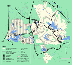
Harold Parker State Forest trail map
Trail map of Harold Parker State Forest in Massachusetts
92 miles away
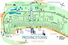
Provincetown, Massachusetts Map
Tourist map of Provincetown, Massachusetts. Shows beaches, visitor's center, bike trails, and...
93 miles away
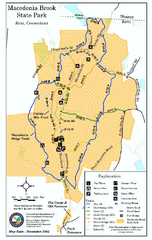
Macedonia Brook State Park trail map
Trail map of Macedonia Brook State Park in Connecticut.
94 miles away
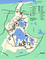
Nickerson State Park trail map
Trail map of Nickerson State Park in Massachusetts.
94 miles away
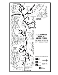
Macedonia Brook State Park campground map
Campground map for Macedonia Brook State Park in Connecticut.
94 miles away
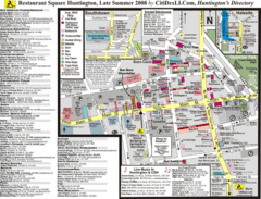
Huntington, New York Restaurant Map
94 miles away

Map of Fire Island National Seashore
Official Map of Fire Island National Seashore in New York. Shows all towns and information.
94 miles away
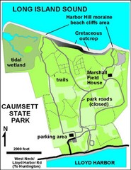
Caumsett State Park Map
Park map of Caumsett State Park on Long Island Sound, New York
94 miles away
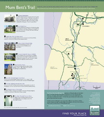
Mum Bett's Trail Map
Historic African American trail guide
95 miles away
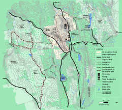
Mt. Grace State Forest trail map
Trail map of Mt. Grace State Forest near Warwick, Massachusetts.
95 miles away
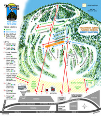
Thunder Ridge Ski Trail Map
Trail map from Thunder Ridge.
95 miles away
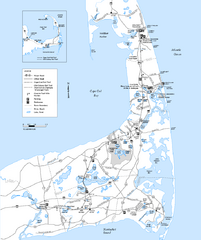
Cape Cod Rail Trail, Cape Cod, Massachusetts Map
Map of the Cape Cod Rail Trail bike path. Shows trails, restrooms, other roads and parking.
95 miles away
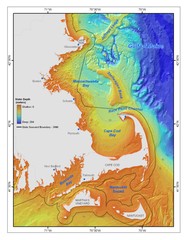
Massachusetts Bay sea floor Map
95 miles away
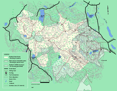
Boxford State Park trail map
Trail map of Boxford State Forest in Massachusetts
95 miles away
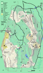
Mt. Washington State Forest trail map
Trail map of Mt. Washington State Forest
96 miles away
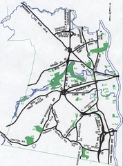
Nashua Parks Map
Map of Nashua, New Hampshire parks
96 miles away

