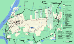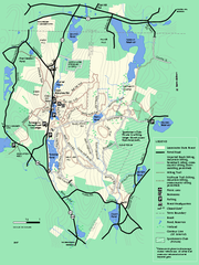
Leominster State Forest trail map
Trail map of Leominster State Forest in Massachusetts
78 miles away
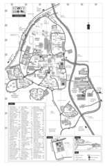
Stony Brook University Map
78 miles away
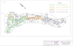
Town of Lexington Historic Districts Map
Identifies the 4 historical districts of Lexington, Massachusetts.
79 miles away
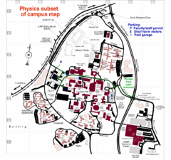
University of New York at Stony Brook Campus Map
79 miles away
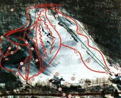
Woodbury Ski Area Ski Trail Map
Trail map from Woodbury Ski Area, which provides downhill, night, nordic, and terrain park skiing...
79 miles away
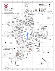
University of Massachusetts - Amherst Map
Campus Map of the University of Massachusetts - Amherst. All buildings shown.
79 miles away

Cape Cod Hospital Map
Campus map of Cape Cod Hospital
79 miles away

Cape Cod Hospital Map
Map of external vicinity of Cape Cod Hospital
79 miles away
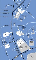
Downtown Amherst, Massachusetts Map
Tourist map of downtown Amherst, Massachusetts, showing attractions, government buildings, atms...
79 miles away
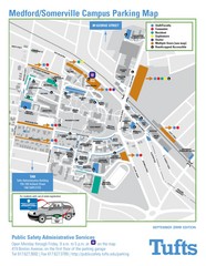
Medford Campus Map
Clear map indicating buildings and parking areas.
79 miles away
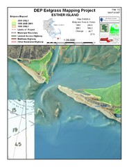
Esther Island Map
DEP Eelgrass map of Esther Island, Nantucket
80 miles away
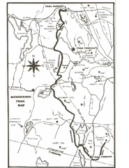
Monoosnoc Trail Map
80 miles away
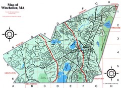
Winchester Town Map
80 miles away
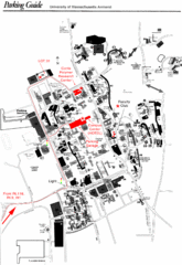
University of Massachusetts Amherst Parking Map
Map of the University of Massachusetts. Includes all buildings, streets, and parking information.
80 miles away
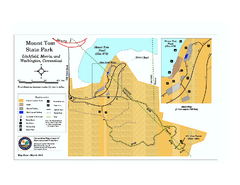
Mount Tom State Park trail map
Trail map of Mt. Tom State Park in Connecticut.
82 miles away
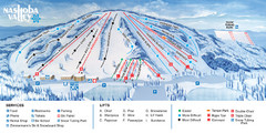
Nashoba Valley Ski Area Ski Trail Map
Trail map from Nashoba Valley Ski Area.
82 miles away
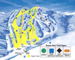
Blandford Ski Trail Map
Official ski trail map of Blandford ski area
82 miles away
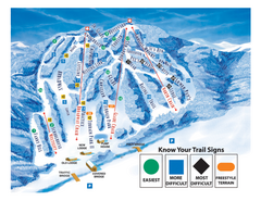
Blandford Ski Area Ski Trail Map
Trail map from Blandford Ski Area.
82 miles away
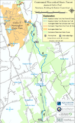
Centennial Watershed State Forest trail map
Trail map of Centennial Watershed State Forest in Connecticut
82 miles away
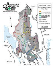
Trout Brook Valley Map
83 miles away
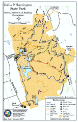
Collis P. Huntington State Park map
Trail map of Collis P. Huntington State Park in Connecticut
83 miles away
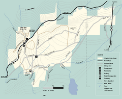
Windsor State Forest trail map
Trail map of Windsor State Forest in Massachusetts.
84 miles away
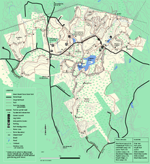
Great Brook Farm State Park trail map
Trail map of Great Brook Farm State Park.
84 miles away
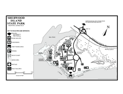
Sherwood Island State Park map
Trail and campground map of Sherwood Island State Park in Connecticut.
84 miles away
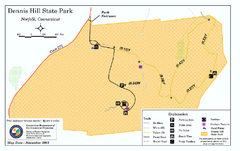
Dennis Hill State Park map
Trail map of Dennis Hill State Park in Connecticut.
84 miles away
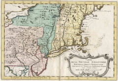
1773 New England Map
French map of New England
84 miles away
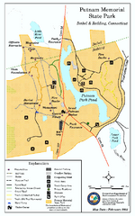
Putnam Memorial State Park map
Trail map for Putnal Memorial State Park in Connecticut,
84 miles away

South Mohawk Mountain State Forest (Winter Trails...
Winter trial map for the Southern Section of Mohawk Mountain State Forest in Connecticut.
84 miles away
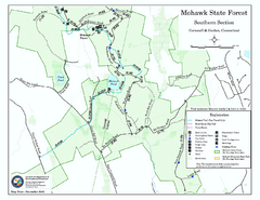
South Mohawk Mountain State Forest (Summer Trails...
Summer trails for South Mohawk State Forest in Connecticut.
85 miles away
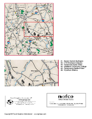
Greater Merrimack Valley, Massachusetts Map
Tourist map of greater Merrimack Valley, Massachusetts. Lodging, forests, and other points of...
85 miles away
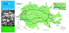
Devil's Den Preserve Map
86 miles away

North Mohawk Mountain State Forest (Winter Trails...
Winter trail map for North Mohawk Mountain State Forest in Connecticut.
86 miles away

North Mohawk Mountain State Forest (Summer Trails...
Summer trail map of the North section of Mohawk Mountain State Forest in Connecticut.
86 miles away
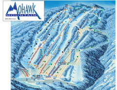
Mohawk Mountain Ski Trail Map
Ski trail map of Mohawk Mountain ski area
86 miles away
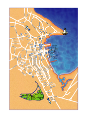
Nantucket Town Street Map
Tourist map of town of Nantucket on Nantucket Island. Shows major streets and points of interest...
86 miles away
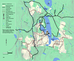
Tolland State Forest winter trail map
Winter usage trail map of the Tolland State Forest area in Massachusetts.
86 miles away
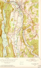
New Milford, Connecticut Map
New Milford, Connecticut topo map with roads, streets and buildings identified
87 miles away
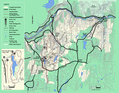
Wendell State Forest trail map
Trail map of Wendell State Forest in Massachusetts.
87 miles away
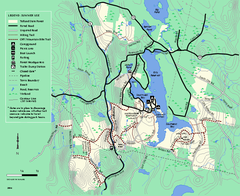
Tolland State Forest summer trail map
Summer use map for Tolland State Forest in Massachusetts.
87 miles away

