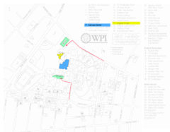
Worcester Polytechnic Institute Campus Map
Map of Worcester Polytechnic Institute. Includes all buildings, parking, streets, and location of...
62 miles away
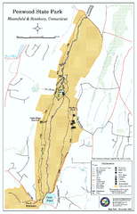
Penwood State Park map
Trail map of Penwood State Park in Connecticut.
62 miles away
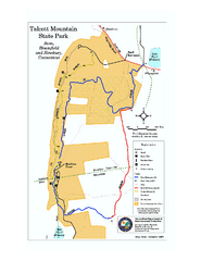
Talcott Mountain State Park map
Trail map of Talcott Mountain State Park in Connecticut.
62 miles away
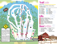
Mt. Southington Ski Area Ski Trail Map
Trail map from Mt. Southington Ski Area, which provides downhill, night, and terrain park skiing...
62 miles away
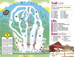
Mount Southington Ski Trail Map
Official ski trail map of Mount Southington ski area from the 2007-2008 season.
62 miles away
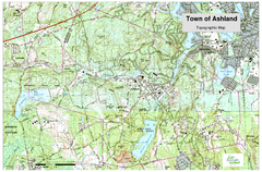
Ashland, MA - Topo Map
Map is provided by the town of Ashland, MA. See town's website for additional maps and...
63 miles away
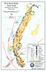
West Rock Ridge State Park map
Trail map of West Rock Ridge State Park in Connecticut.
63 miles away
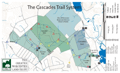
Cascades Park Map
63 miles away
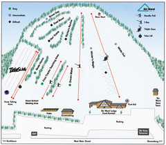
Ski Ward Ski Trail Map
Trail map from Ski Ward.
64 miles away
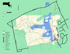
Ames Nowell State Park Map
Simple map of this beautiful state park. Visit and hike, bike, and shop!
64 miles away
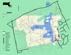
Ames Nowell State Park Map
Trail map of Ames Nowell State Park in Massachusetts
65 miles away
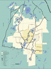
Myles Standish State Forest winter trail map
Winter activity map of all the trails and roads in Myles Standish State Park, MA. Cross country...
65 miles away
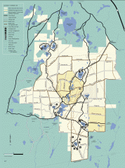
Myles Standish State Forest summer trail map
Map of all the trails and roads in Myles Standish State Park, MA. 15 miles of bicycle trails, 35...
65 miles away
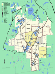
Myles Standish State Forest trail map
Summer trail map for Myles Standish State Forest.
65 miles away
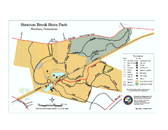
Stratton Brook State Park map
Trail map of Stratton Brook State Park in Connecticut.
65 miles away
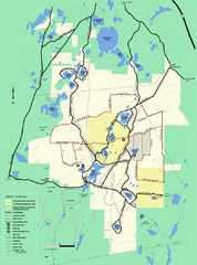
Myles Standish State Forest Winter trail map
Myles Standish State Forest winter use trail map.
65 miles away
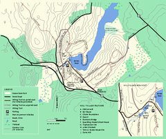
Moore State Park trail map
Trail map of Moore State Park in Massachusetts.
65 miles away
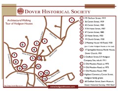
Dover Architectural Walking Map
Architectural walking tour of Hodgson Houses
65 miles away
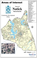
Natick Areas Of Interest Map
Shows points of interest in town of Natick, Massachusetts. Inset of downtown Natick.
66 miles away
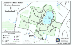
Great Pond State Park trail map
Trail map of Great Pond State Forest in Connecticut.
66 miles away
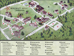
Walnut Hill School Map
Campus Map
66 miles away

Six Flags New England Theme Park Map
Official Park Map of Six Flags New England in Massachusetts.
66 miles away
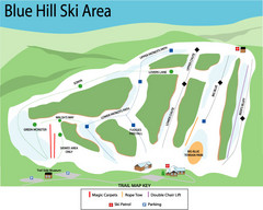
Blue Hills Ski Area Ski Trail Map
Trail map from Blue Hills Ski Area.
66 miles away
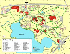
Wellesley College campus map
2008 Wellesley College campus map
67 miles away
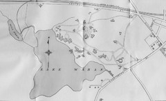
1899 Map of Wellesley College
After College Hall, the original site of Wellesley's faculty, students, classrooms, and...
67 miles away
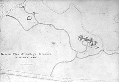
1870s Map of Wellesley College
General plan of college grounds, 1870s.
67 miles away
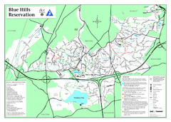
Blue Hills State Park Map
Clearly marked state park map of this beautiful state park.
67 miles away
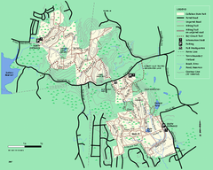
Callahan State Park trail map
Trail map of Callahan State Park in Massachusetts
67 miles away
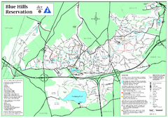
Blue Hills Reservation Trail Map
Trail map of the Blue Hills Reservation in Massachusetts
68 miles away
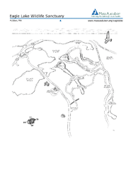
Eagle Lake Conservation Area Map
68 miles away
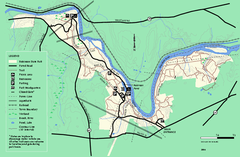
Robinson State Park trail map
Trail map of Robinson State Park in Massachusetts.
68 miles away
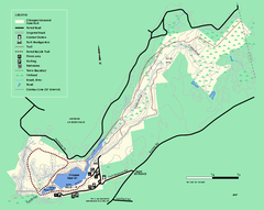
Chicopee State Park trail map
Chicopee State Park trail map
68 miles away
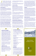
Mt. Pisgah Map - Northboro, Berlin, Boylston Mass
68 miles away
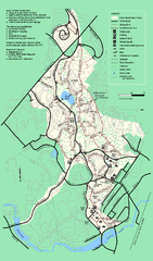
Stony Brook Reservation trail map
Trail map of the Stony Brook Reservation in Massachusetts.
69 miles away
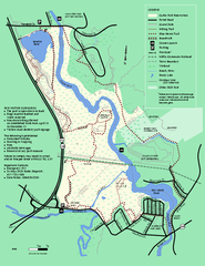
Cutler Park Reservation trail map
Trail map of Cutler Park Reservation in Massachusetts
69 miles away
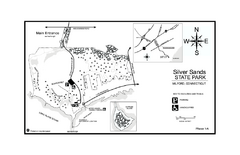
Silver Sands State Park map
Trail and campground map of Silver Sands State Park in Connecticut.
69 miles away

Urban Neighborhood Map: Long Island Map
This Urban Neighborhood Poster of Long Island is a modern twist on traditional maps. The typography...
70 miles away
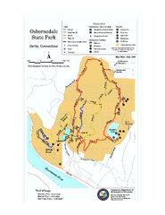
Osbornedale State Park map
Trail map of Osborndale State Park in Connecticut.
70 miles away
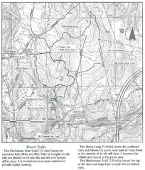
Trout Brook Conservation Area Map
70 miles away
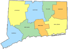
Connecticut Counties Map
71 miles away

