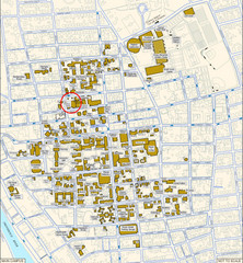
Providence, Rhode Island City Map
36 miles away
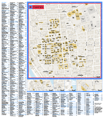
Brown University Campus Map
Official campus map of Brown University.
36 miles away
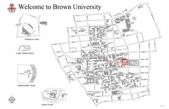
Brown University Map
36 miles away
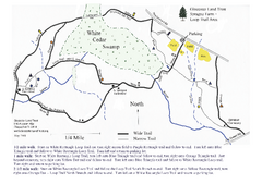
Sprague Farm - Glocester Land Trust Map
36 miles away
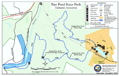
Daypond State Park map
Trail map for Day Pond State Park
36 miles away
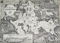
Shelter Island Map
Old Shelter Island map circa 1930s
37 miles away

Salmon River State Forest trail map
Trail map for Salmon River State Forest in Connecticut.
37 miles away

Mansfield Cemetery Map
37 miles away
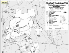
George Washington Wildlife Management Area Map
37 miles away
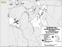
Durfee Hill Wildlife Management Area Map
37 miles away
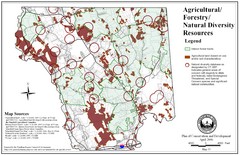
Mansfield Conservation and Development Map
Guide to Agricultural, Forestry and Natural Diversity Resources
37 miles away
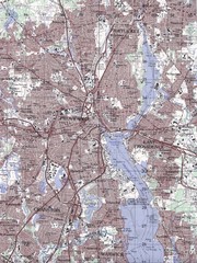
Providence Topo Map
Topo map of Providence, East Providence, Cranston, and Pawtucket, RI. Original scale 1:50,000
38 miles away
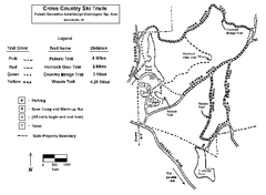
Pulaski State Park Map
38 miles away
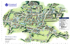
University of Connecticut - Storrs Campus Map
University of Connecticut - Storrs Campus Map. All areas shown.
39 miles away

Cockaponset State Forest South Section trail map
Trail map for the South Section of Cockaponset State Forest in Connecticut.
40 miles away
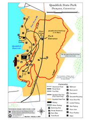
Quaddick State Park Trail Map
40 miles away

Cockaponset State Forest North Section trail map
Trail map for the north section of Cockaponset State Forest in Connecticut
40 miles away
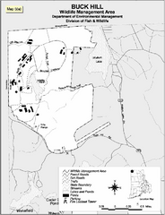
Buck Hill Wildlife Management Area Map
41 miles away

Hammonasset Beach State Park map
Trail map for Hammonasset Beach State Park in Connecticut.
42 miles away
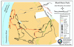
Hurd State Park trail map
Trail map for Hurd State Park in Connecticut.
42 miles away

Hammonasset Beach State Park campground map
Campground map of Hammonasset State Park in Connecticut.
42 miles away
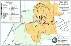
Gay City State Park trail map
Trail map of Gay City State Park in Connecticut.
43 miles away
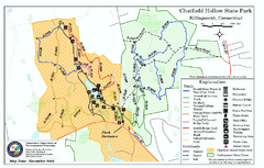
Chatfield Hollow State Park map
Trail map of Chatfield Hollow State Park
43 miles away
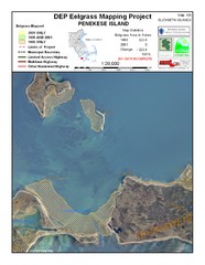
Penekese Island Eelgrass Map
44 miles away
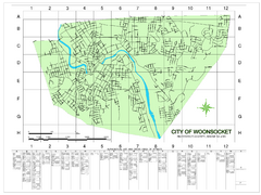
Woonsocket Street Map
Street map of Woonsocket, Rhode Island. Shows street legend.
45 miles away
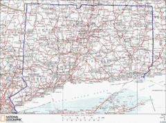
Connecticut State Parks Map
This is statewide map for Connecticut state parks. Go to the source website for detailed hiking...
45 miles away
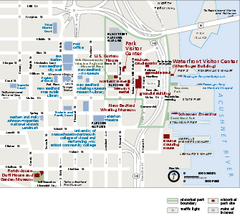
New Bedford Whaling National Historical Park...
Official NPS map of New Bedford Whaling National Historical Park in Massachusetts. Map shows all...
45 miles away
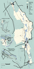
Blackstone Trail Map
Map of Blackstone River State Park in Massachusetts.
45 miles away
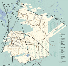
Freetown-Fall River State Forest trail map
Trail map of Freetown-Fall River State Forest in Massachusetts
46 miles away
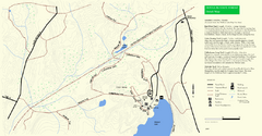
Douglas State Park Detail Map
46 miles away
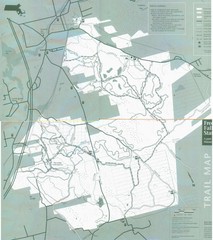
Freetown State Forest Map
Freetown State Forest Map showing mountain biking trails
46 miles away
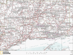
Connecticut Canoeing and Kayaking Lakes Map
A map of the lakes and ponds that are open for canoeing and kayaking in Connecticut. For detailed...
46 miles away
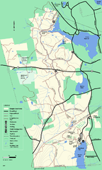
Douglas State Forest trail map
Trail map of the Douglas State Forest in Massachusetts
46 miles away
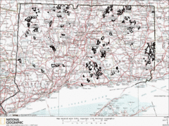
Connecticut State Forests Map
This is a map of all of the state forest boundaries in Connecticut. Follow the source web address...
47 miles away
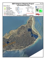
Nashawena Island Eelgrass Map
47 miles away
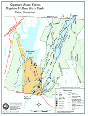
Nipmuck State Forest trail map
Trail map of Nipmuck State Forest and Bigelow Hollow State Park in Connecticut.
47 miles away

Mine Brook Wildlife Management Area Map
47 miles away
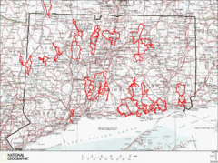
Connecticut Road Cycling Routes Map
A map of road cycling routes throughout Connecticut. Follow the link below for detailed route maps...
47 miles away
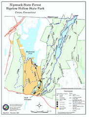
Bigelow Hollow State Park trail map
Trail map of Bigelow Hollow State Park in Connecticut.
47 miles away


