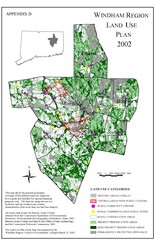
2002 Windham Region Land Use Map
Regional Land Use Guide Map for Planning Purposes
0 miles away
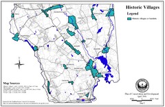
Historic Villages of Mansfield, Connecticut Map
Historical villages outlined on the map of the existing city.
3 miles away
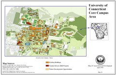
University of Connecticut Campus Map
Map shows current, funded projects and future development for UConn.
3 miles away
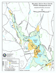
Mansfield Hollow State Park map
Map for Mansfield Hollow State Park and Wildlife Management Area in Connecticut.
4 miles away

Mansfield Cemetery Map
7 miles away
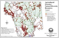
Mansfield Conservation and Development Map
Guide to Agricultural, Forestry and Natural Diversity Resources
7 miles away
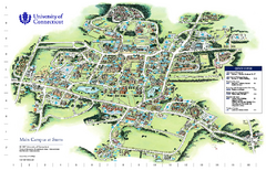
University of Connecticut - Storrs Campus Map
University of Connecticut - Storrs Campus Map. All areas shown.
8 miles away
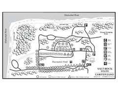
Salt Rock State Park campground map
Campground Map of Salt Rock State Campground in Connecticut.
9 miles away
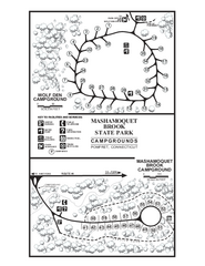
Mashamoquet Brook State Park campground map
Campground map of Mashamoquet Brook State Park in Connecticut.
13 miles away
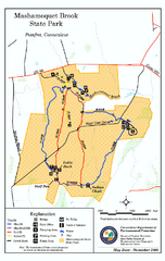
Mashamoquet Brook State Park trail map
Trail map of Mashamoquet Brook State Park in Connecticut.
13 miles away
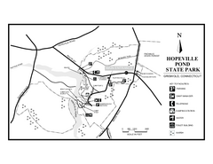
Hopeville Pond State Park trail map
Trail map for Hopevill Pond State Park in Connecticut
14 miles away
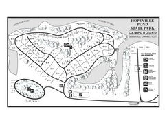
Hopeville Pond campground map
Campground map of Hopeville Pond State Park in Connecticut.
14 miles away
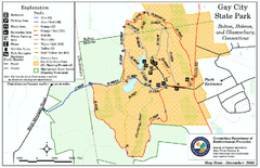
Gay City State Park trail map
Trail map of Gay City State Park in Connecticut.
15 miles away
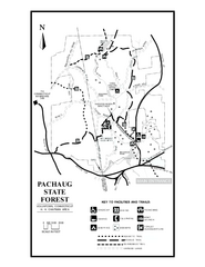
Pachaug State Forest map
Trail map of Pachaug State Forest in Connecticut.
16 miles away
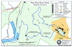
Daypond State Park map
Trail map for Day Pond State Park
18 miles away

Salmon River State Forest trail map
Trail map for Salmon River State Forest in Connecticut.
18 miles away
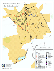
Devils Hophard State Park map
Trail and camprground map for Devils Hopyard State Park in Connecticut.
19 miles away
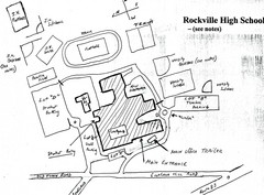
Rockville High School Map
Hand-drawn map of Rockville High School includes all buildings, Parking Lots, and sports fields.
20 miles away
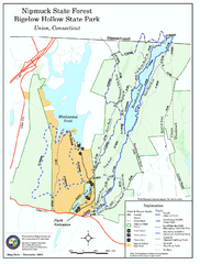
Nipmuck State Forest trail map
Trail map of Nipmuck State Forest and Bigelow Hollow State Park in Connecticut.
20 miles away
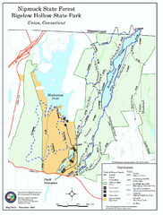
Bigelow Hollow State Park trail map
Trail map of Bigelow Hollow State Park in Connecticut.
20 miles away
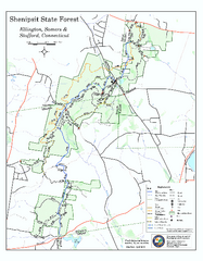
Trail map of Shenipsit State Forest
Trail map of Shenipsit State Forest in Connecticut.
23 miles away
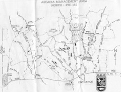
Arcadia Management Area State Map
Trail map for Arcadia Management Area in Rhode Island
23 miles away
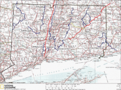
Connecticut Long Distance Trails Map
A map of long distance trails throughout Connecticut. Go to the website below for detailed trail...
23 miles away
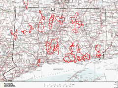
Connecticut Road Cycling Routes Map
A map of road cycling routes throughout Connecticut. Follow the link below for detailed route maps...
23 miles away
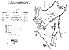
Pulaski State Park Map
24 miles away
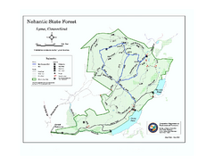
Nehantic State Forest map
Trail map of Nehantic State Forest in Connecticut.
24 miles away
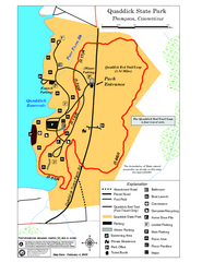
Quaddick State Park Trail Map
24 miles away
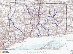
Connecticut Rivers and Coastal Paddling Map
This is a map of paddling areas for rivers and coastal kayaking. Follow the link below for...
24 miles away
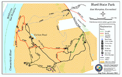
Hurd State Park trail map
Trail map for Hurd State Park in Connecticut.
24 miles away
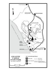
Gillette State Park trail map
Trail map of Gillette Castle State Park in Connecticut.
25 miles away
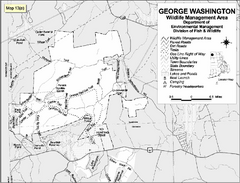
George Washington Wildlife Management Area Map
25 miles away
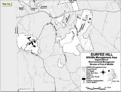
Durfee Hill Wildlife Management Area Map
25 miles away
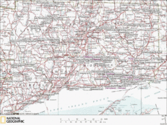
Connecticut Canoeing and Kayaking Lakes Map
A map of the lakes and ponds that are open for canoeing and kayaking in Connecticut. For detailed...
25 miles away
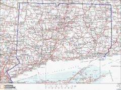
Connecticut State Parks Map
This is statewide map for Connecticut state parks. Go to the source website for detailed hiking...
25 miles away
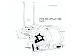
Fort Trumbull State Park map
Map of Fort Trumbull State Park in Connecticut.
26 miles away
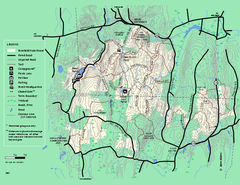
Brimfield State Forest trail map
Trail map of Brimfield State Forest in Massachusetts
26 miles away
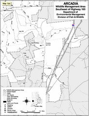
Arcadia Wildlife Management Area Map - Southeast
Reference map shows portion of Arcadia Wildlife Management Area, Rhode Island southeast of Highway...
26 miles away

Cockaponset State Forest North Section trail map
Trail map for the north section of Cockaponset State Forest in Connecticut
26 miles away
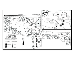
Dinosaur State Park map
Trail map of Dinosaur State Park in Connecticut.
26 miles away
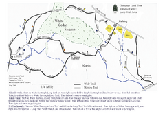
Sprague Farm - Glocester Land Trust Map
27 miles away


 Explore Maps
 Map Directory
