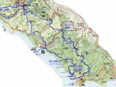
Golden Gate Headlands 50k Course Map
Here is a map of the 31-mile course for the Golden Gate Headlands: USATF National 50K Trail...
0 miles away
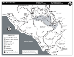
Muir Woods Trail Map
Black and white trail map of Muir Woods National Monument and surrounding Mount Tamalpais State...
less than 1 mile away
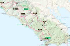
Headlands 50K Map (for 2011 race and future races)
Course For 2011 Headlands 50K
1 mile away
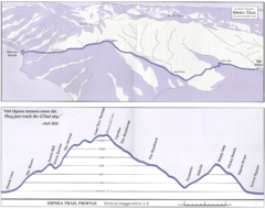
Dipsea Race Course Map
Course map of the annual Dipsea Trail Run Race. Shows birds-eye view and elevation profile of the...
2 miles away
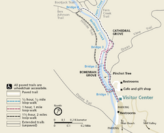
Muir Woods Trail Map
Shows paved loop walks and extended unpaved trails in Muir Woods National Monument, California
2 miles away
Mount Tamalpais State Park Map
Map of park with detail of trails and recreation zones
2 miles away
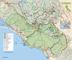
Mount Tamalpais State Park Map
Topographic trail map of Mt Tamalpais State Park in Marin County, California.
2 miles away
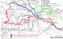
Alpine Dam Seven Sisters Road Bike Route Map...
Road biking route map for the classic Alpine Dam/Seven Sisters loop in Marin County from San...
3 miles away
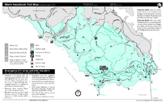
Marin Headlands Trail Map
Trail map of Marin Headlands in Marin County, California. Shows trails with distances by use type...
3 miles away
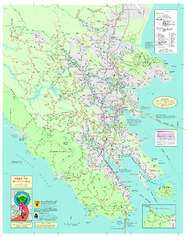
Marin Bicycle Map - Side A
Bike route map of Marin County, California. Shows primary and secondary road routes, paved and...
4 miles away
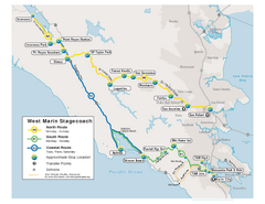
West Marin Bus Map
Bus route map of West Marin Stagecoach. Shows routes to Inverness, Point Reyes Station, Olema...
5 miles away
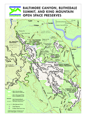
Blithedale Summit Open Space Preserve Map
Trail map of Blithedale Summit Open Space Preserve, Baltimore Canyon Open Space Preserve, and King...
5 miles away
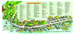
Sausalito Tourist Map
Visitor map of Sausalito, California. Shows restaurants, shopping, and other points of interest
6 miles away

Southern Golden Gate National Recreation Map
6 miles away
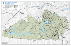
Mt. Tamalpais Watershed Trail Map
Shows roads and trails in the 18,500 Mt. Tamalpais Watershed near Fairfax, California.
7 miles away
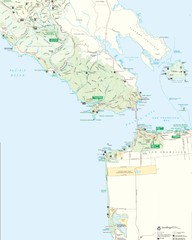
Golden Gate National Recreation Area Detail Map
7 miles away
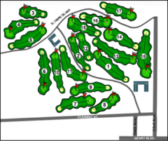
Lincoln Park Golf Course Map
7 miles away
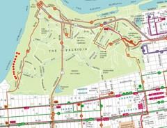
Baker Beach, San Francisco Tourist Map
8 miles away
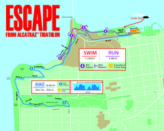
Escape From Alcatraz Triathlon Course Map 2009
Official course map of the 2009 Escape From Alcatraz Triathlon in San Francisco
8 miles away
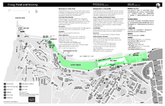
Crissy Field Map
Official NPS map of Crissy Field and vicinity in the Presidio of San Francisco, CA
8 miles away
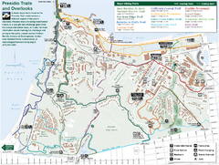
Presidio Trail and Overlook Map
Trail map of the Presidio in San Francisco. Shows 12 major trails (both existing and proposed) and...
8 miles away
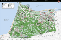
Presidio of San Francisco detail map
Detail map of the Presidio of San Francisco from NPS. Shows hiking/walking trails and POIs such as...
8 miles away
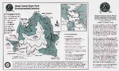
Angel Island State Park Map
Map of park with detail of trails and recreation zones
9 miles away
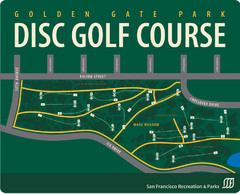
Golden Gate Park Disc Golf Course Map
Disc golf course map of 18-hole course in Golden Gate Park, San Francisco, CA. Officially opened...
9 miles away
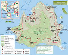
Angel Island State Park Map
Official map of Angel Island State Park in the San Francisco Bay. Shows paved and unpaved roads...
9 miles away
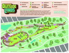
San Francisco Outside Lands Music Festival Map
Official 2008 map of the Outside Lands Music & Arts Festival in Golden Gate Park, San Francisco...
9 miles away
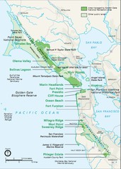
Golden Gate National Recreation Area Area Map
9 miles away
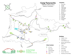
Tamarancho Map
9 miles away
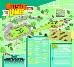
Outside Lands Festival Map 2010
Official Outside Lands Festival map 2010. Held Aug 14-15, 2010 in Golden Gate Park, San Francisco
9 miles away
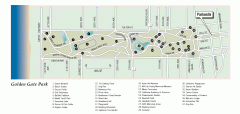
Golden Gate Park tour map
Map of Golden Gate Park in San Francisco in California. Shows all points of interest, picnic areas...
9 miles away
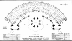
San Francisco Palace of the Fine Arts Map
9 miles away
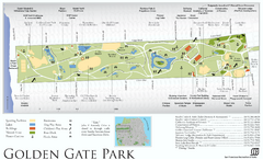
Golden Gate Park Map
Overview map of Golden Gate Park in San Francisco, CA
9 miles away
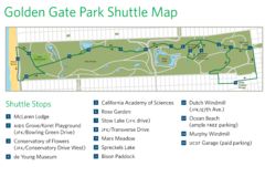
Golden Gate Park Shuttle Map
Shows shuttle stops in Golden Gate Park, SF.
9 miles away
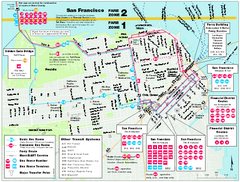
San Francisco Bus and Ferry Map
9 miles away
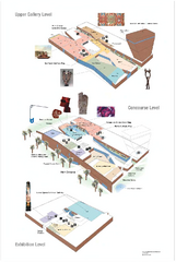
de Young Museum Map
Floorplan of the de Young Museum of Art in Golden Gate Park, San Francisco, California
9 miles away
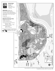
San Francisco Botanical Garden Map
Overview map of the San Francisco Botanical Garden in Golden Gate Park, San Francisco
9 miles away
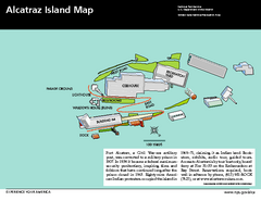
Alcatraz Island Map
Official NPS map of Alcatraz Island National Park in the San Francisco Bay, California
9 miles away
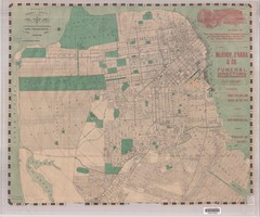
1905 San Francisco Street Map
Pre earthquake map of San Francisco, with several types of street cars and turnaround locations
9 miles away
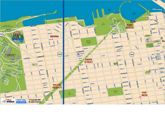
Downtown San Francisco: Fort Mason, the Marina...
Tourist map of Fort Mason, the Marina, and Pacific Heights area in downtown San Francisco...
9 miles away
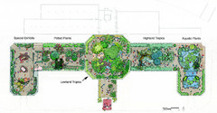
Conservatory of Flowers Museum Map
Map of the Conservatory of Flowers in Golden Gate Park, San Francisco, California
9 miles away

