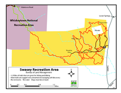
Swasey Recreation Area Map
12 Miles of trails that are great for hiking and biking. Most trails are rugged and unmarked...
120 miles away
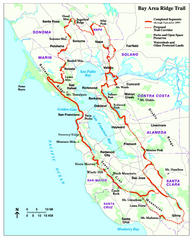
Bay Area Ridge Trail Map
Map of the Bay Area Ridge Trail. Shows completed segments through Sep 2009. "a 550+ mile...
120 miles away
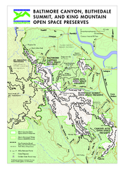
Blithedale Summit Open Space Preserve Map
Trail map of Blithedale Summit Open Space Preserve, Baltimore Canyon Open Space Preserve, and King...
120 miles away
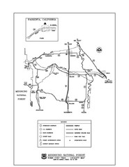
Mendocino National Forest map
Map of the Nome Cult Trail Walk in the Mendocino National Forest.
120 miles away
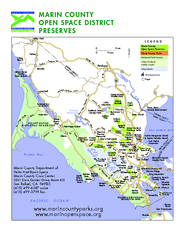
Marin Open Space Preserves Map
Shows all Open Space Preserves in Marin County, CA.
121 miles away
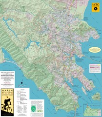
Marin, California Bike Map
121 miles away
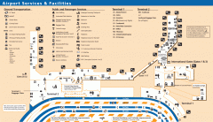
Oakland International Airport (OAK) Map
Terminal map. Shows all airport services and facilities
121 miles away
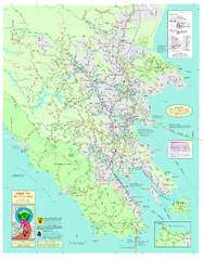
Marin Bicycle Map - Side A
Bike route map of Marin County, California. Shows primary and secondary road routes, paved and...
121 miles away
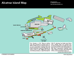
Alcatraz Island Map
Official NPS map of Alcatraz Island National Park in the San Francisco Bay, California
121 miles away
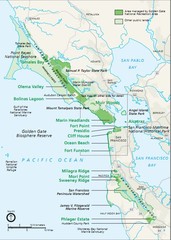
Golden Gate National Recreation Area Area Map
121 miles away
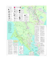
Marin Bicycle Map - Side B
Bike route map of Marin County, California. Shows primary and secondary road routes, paved and...
121 miles away
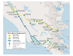
West Marin Bus Map
Bus route map of West Marin Stagecoach. Shows routes to Inverness, Point Reyes Station, Olema...
121 miles away
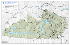
Mt. Tamalpais Watershed Trail Map
Shows roads and trails in the 18,500 Mt. Tamalpais Watershed near Fairfax, California.
121 miles away
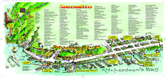
Sausalito Tourist Map
Visitor map of Sausalito, California. Shows restaurants, shopping, and other points of interest
121 miles away
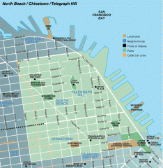
North Beach, Chinatown, Telegraph Hill map
Tourist map of North Beach, Chinatown, and Telegraph Hill in San Francisco
122 miles away
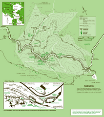
Samuel Taylor State Park Trail Map
Trail map of Samuel Taylor State Park near Lagunitas, CA.
122 miles away
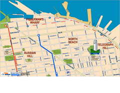
Downtown San Francisco: Fisherman's Wharf...
Tourist map of Fisherman's Wharf, North Beach, and Telegraph Hill area in downtown San...
122 miles away
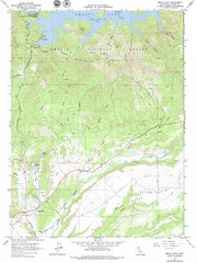
Bella Vista Quad - Shasta Lake Map
Topographic map, Bella Vista Quadrangle, California 1976. Area of map includes a portion of Shasta...
122 miles away
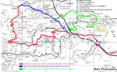
Alpine Dam Seven Sisters Road Bike Route Map...
Road biking route map for the classic Alpine Dam/Seven Sisters loop in Marin County from San...
122 miles away
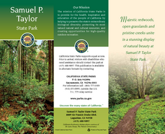
Samuel P. Taylor State Park Map
Map of park with detail of trails and recreation zones
122 miles away
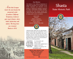
Shasta State Historic Park Map
Map of park with detail of trails and recreation zones
122 miles away

Farwell’s Map of Chinatown in San Francisco...
This map of vice in San Francisco's Chinatown in 1885. A fascinating historical document, as...
122 miles away
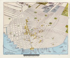
1896 San Francisco Perspective Map
Guide to historic San Francisco, in hand drawn perspective
122 miles away
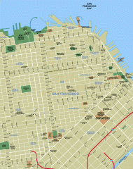
Downtown San Francisco tourist map
Tourist map of Downtown San Francisco spanning several neighborhoods, showing points of interest.
122 miles away
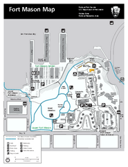
Fort Mason Map
Overview map of Fort Mason, San Francisco, California. Shows trails and points of interest.
122 miles away

1852 San Francisco Map
Guide to San Francisco, prior to 1852
122 miles away
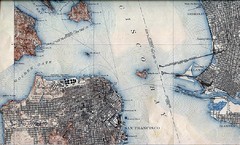
San Francisco Map 1915
122 miles away
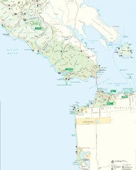
Golden Gate National Recreation Area Detail Map
122 miles away
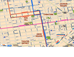
Downtown San Francisco: Union Square, Chinatown...
Tourist map of Union Square, Chinatown and Nob Hill in Downtown San Francisco, California. Public...
122 miles away

Northern California Fire Detection Map
Fires in Northern California
122 miles away
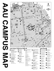
Academy of Art University San Francisco, CA Map
122 miles away
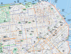
San Francisco Map
Road and Bike routes in San Francisco
122 miles away
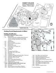
Chabot College Campus Map
Chabot College Campus Map. All buildings shown.
123 miles away
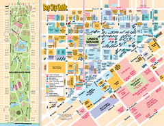
Union Square Tourist Map
Tourist map of Union Square district in San Francisco, California. Shows all venues and points of...
123 miles away
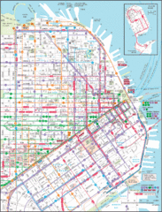
Downtown San Francisco Transit Map
Guide to area and transit in downtown San Francisco
123 miles away
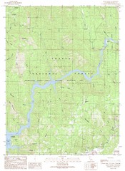
Devils Rock Quad - Shasta Lake Map
Topographic map, Devils Rock Quadrangle, California 1990. Area of map includes a portion of Shasta...
123 miles away
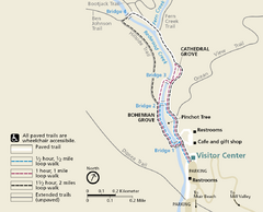
Muir Woods Trail Map
Shows paved loop walks and extended unpaved trails in Muir Woods National Monument, California
123 miles away
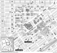
San Francisco City Center Map
123 miles away
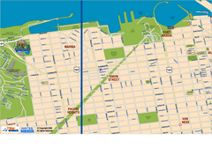
Downtown San Francisco: Fort Mason, the Marina...
Tourist map of Fort Mason, the Marina, and Pacific Heights area in downtown San Francisco...
123 miles away
Sonoma Coast State Beach Map
Map of beach and park with detail of trails and recreation zones
123 miles away

