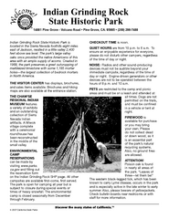
Indian Grinding Rock State Historic Park...
Map of campground region of park with detail of trails and recreation zones
59 miles away
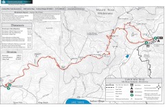
Tahoe Rim Trail: Brockway Summit to Tahoe Meadows...
Trail map of the Brockway Summit-Tahoe Meadows leg of the Tahoe Rim Trail. Bike trails, hiking...
60 miles away
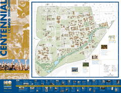
University of California Davis Campus Map
Campus map of UC Davis in Davis, California. Shows all buildings.
60 miles away
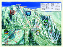
Sierra-at-Tahoe Ski Trail Map
Trail map from Sierra-at-Tahoe, which provides downhill and terrain park skiing. It has 12 lifts...
60 miles away
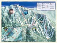
Sierra-at-Tahoe Ski Trail Map
Official ski trail map of Sierra-at-Tahoe ski area from the 2007-2008 season.
61 miles away
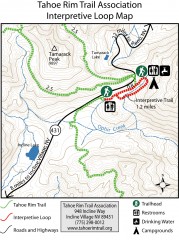
Tahoe Rim Trail: Interpretive Loop, Lake Tahoe...
Trail map of the Tahoe Rim Trail's Interpretive Loop Trail. Shows both trails, camping...
61 miles away
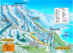
Diamond Peak Ski Trail Map
Trail map from Diamond Peak.
61 miles away
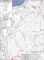
Tahoe Rim Trail: Kingsbury South to Big Meadows...
Topographic hiking map of the Kingsbury South-Big Meadows leg of the Tahoe Rim Trail. Shows...
61 miles away
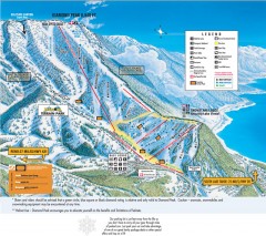
Diamond Peak Ski Trail Map
Official ski trail map of Diamond Peak ski area from the 2007-2008 season.
62 miles away
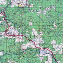
Lassen National Park Map
Forest Visitor Map showing locations of most camping and recreational areas in the eastern part of...
62 miles away
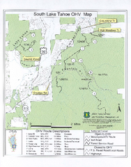
South Lake Tahoe Off-Highway Vehicle Map
Off-Highway Vehicle Map of South Lake Tahoe, California. Shows roads open to motorcycles, ATVs, and...
63 miles away
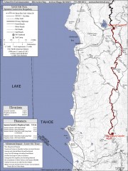
Tahoe Rim Trail: Spooner Summit to Kingsbury...
Topographic hiking map of the Spooner Summit-Kingsbury North leg of the Tahoe Rim Trail. Bike and...
63 miles away
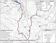
Tahoe Rim Trail: Big Meadow to Echo Lake Map
Topographic hiking map of the Big Meadow-Echo Lake leg of the Tahoe Rim Trail. Bike and pedestrian...
63 miles away
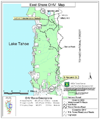
East Shore Lake Tahoe Off-highway Vehicle Map
Off-highway vehicle map of the East Shore of Lake Tahoe, California. Shows roads open to...
63 miles away
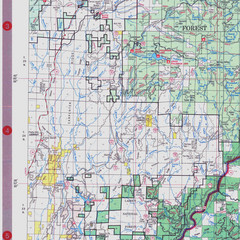
Lassen National Park Map
Visitor Map that shows most of Lassen National Forest with locations of camp grounds and...
63 miles away
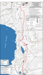
Tahoe Rim Trail: Tahoe Meadows to Spooner Summit...
Topographic hiking map of the Tahoe Meadows-Spooner Summit leg of the Tahoe Rim Trail. Shows bike...
63 miles away
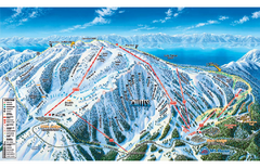
Mt. Rose Ski Tahoe Ski Trail Map
Trail map from Mt. Rose Ski Tahoe.
64 miles away
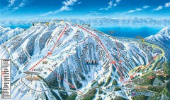
Mt. Rose Ski Trail Map
Official ski trail map of Mt. Rose ski area
64 miles away
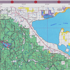
Lassen National Park Map
Forest Visitor Map of the farthest east of the park, shows all camping and recreational areas and...
64 miles away
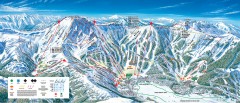
Kirkwood Ski Trail map 2006-07
Official ski trail map of Kirkwood ski area for the 2006-2007 season.
65 miles away
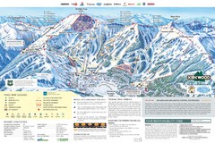
Kirkwood Ski Trail Map
Trail map from Kirkwood, which provides downhill, nordic, and terrain park skiing. It has 14 lifts...
65 miles away
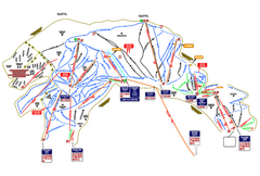
Heavenly Ski Resort Ski Trail Map
Trail map from Heavenly Ski Resort, which provides downhill, nordic, and terrain park skiing. It...
65 miles away
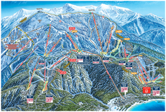
Heavenly Valley Ski Trail Map
Official ski trail map of Heavenly Valley ski area from the 2007-2008 season.
65 miles away
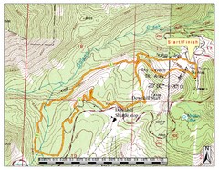
Sky Tavern XC Route Map
Topo map of the XC course for the cycling event.
68 miles away

Reno Tahoe Tourist Map
70 miles away

Reno, Nevada City Map
70 miles away

Downtown Reno, Nevada Map
Tourist map of Reno, Nevada. Event and convention centers, visitor's center, parks, and other...
71 miles away

Carson River Aquatic Trail Map
73 miles away
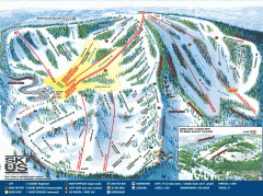
Bear Valley Ski Trail Map
Official ski trail map of Bear Valley ski area from the 2007-2008 season.
74 miles away
Grover Hot Springs State Park Campground Map
Map of park with detail of trails and recreation zones
75 miles away

Lodi Valley Wine Map & Visitors Guide
A great source for information about the Lodi Wineries and our valleys rich Wine Region
76 miles away

Greater Lake Berryessa Region Tourist Map
Tourist map of the Lake Berryessa region in Napa, California
76 miles away

Lake Berryessa Map
Lake Berryessa Recreational Map, Napa County, California
76 miles away

Lake Berryessa Recreation Map
Lake Berryessa Recreational Map, Napa County, California
76 miles away
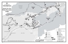
Ebbetts Pass Area Map
Guide to Winter Recreation at Ebbetts Pass
77 miles away
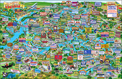
California Delta Boaters Map & Visitors Guide
Map of the California Delta, the Most Current, Legible and Unique Delta Navigation Map to date. Our...
79 miles away
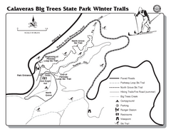
Calaveras Big Trees State Park Winter Map
Map of park with detail of winter ski trails and recreation zones
79 miles away
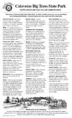
Calaveras Big Trees State Park Map
Map of park with detail of trails and recreation zones
79 miles away
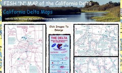
California Delta Maps Map
FISH "N" MAP of the California Delta. Navigation Map with GPS Locations. Printed on...
81 miles away
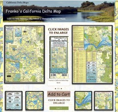
California Delta Maps Map
The "BEST" Navigational Maps of the California Delta. Franko's California...
81 miles away

